Nile
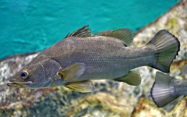
Perciformes - Perches
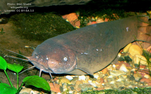
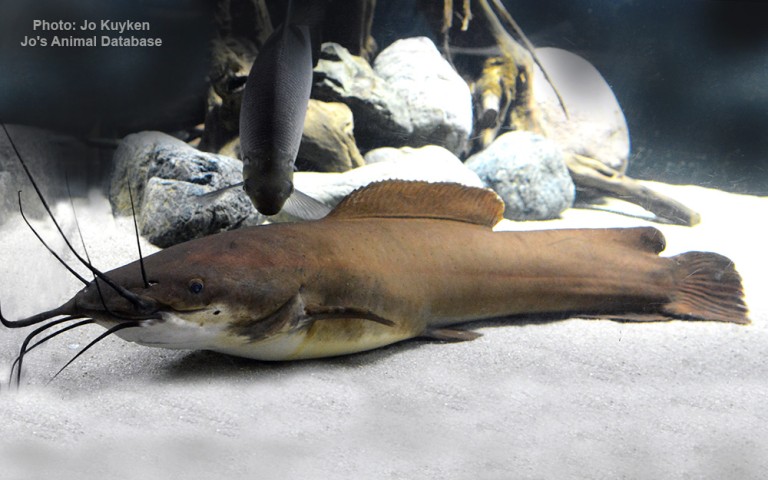
Siluriformes - Catfishes
Cypriniformes - Carps
Cichliformes - Cichlids
Characiformes - Characins
Polypteriformes - Bichirs
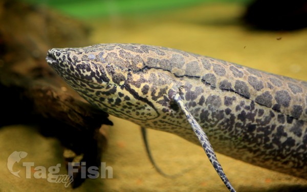
Osteoglossiformes - Bony tongues
Ceratodontiformes - Lungfishes
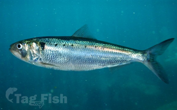
Clupeiformes - Herrings
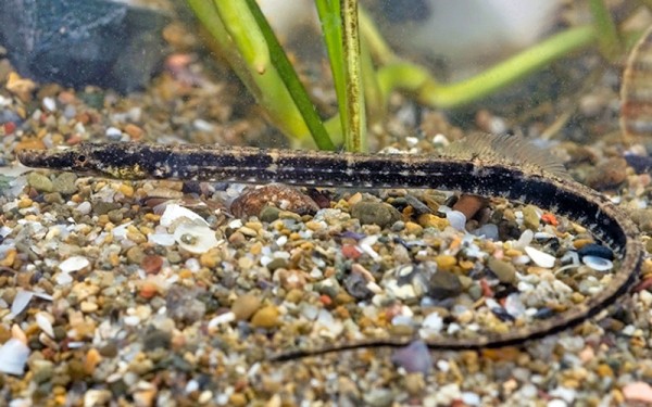
Syngnathiformes - Pipefishes and Seahorses
Perciformes - Perches
Siluriformes - Catfishes
Cypriniformes - Carps
Cichliformes - Cichlids
Characiformes - Characins
Polypteriformes - Bichirs
Osteoglossiformes - Bony tongues
Ceratodontiformes - Lungfishes
Clupeiformes - Herrings
Syngnathiformes - Pipefishes and Seahorses
Perciformes - Perches
Siluriformes - Catfishes
Cypriniformes - Carps
Cichliformes - Cichlids
Characiformes - Characins
Polypteriformes - Bichirs
Osteoglossiformes - Bony tongues
Ceratodontiformes - Lungfishes
Clupeiformes - Herrings
Syngnathiformes - Pipefishes and Seahorses
The Nile basin extends from 4° S to 31° N and includes ten African countries: Burundi, Egypt, Eritrea, Ethiopia, Kenya, Rwanda, Sudan, Tanzania, Uganda and Democratic Republic of Congo.
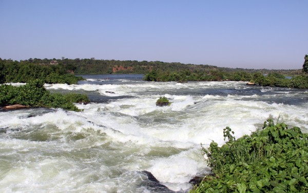
The source of the Nile water is one of the upper branches of the Kagera River in Rwanda. The Kagera follows the boundary of Rwanda northward, and continues along the border of Tanzania before draining into Lake Kyoga between Lake Victoria and Lake Albert, the Nile rushes along its course for 483 km within rocky valleys and over rapids and cataracts.
The section between the two lakes is called Lake Kyoga and is part of the Victorian Nile, which name is used for the river section till its confluence with the Blue Nile in Sudan. The Nile discharges from the northern end of Lake Albert and flows through northern Uganda to the Sudan border where it becomes the Bahr El-Jebel. At its conjunction with Bahr Al-Ghazal, the river becomes the White Nile. At Khartoum, the White Nile is joined by the Blue Nile.
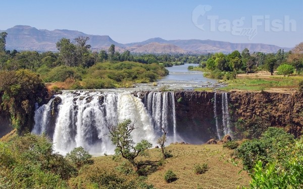
The 1529 km long Blue Nile has its source in Lake Tana in the Ethiopian Highlands.
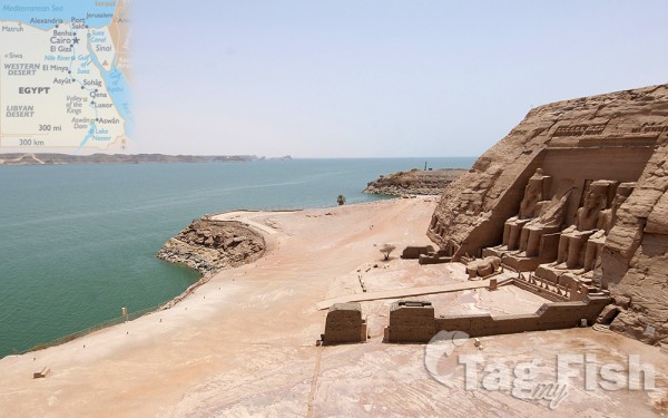
From Khartoum the Nile flows 322 km north to its junction with the Atbara River. Downstream from its confluence with the Atbara River, the Nile traverses the Nubian Desert, and is marked by two profound bends in its course, the first north of Khartoum and the second near Aswan in the Egyptian territory.
The Nile flows towards the Mediterranean Sea through the Nile delta that splits into the two main Nile delta branches, the Rosetta and Damietta branches. The Nile River flows generally north to the Mediterranean Sea for a distance of 5,584 km. From its remotest head-stream, the Ruvyronza River in Burundi, the river is 6,671 km long, and it has a drainage area of more than 2,590,000 km2.
With a length of 6,695 km from source to Mediterranean outfall, the Nile River is the longest river in the world. The uniqueness of the Nile is not only related to morphometric features of its basin, but to other many facts. No other river traverses such a variety of landscapes and such a spectrum of cultures and peoples as the Nile. No other river has historically had such a profound material effect upon those who dwell along its banks, representing the difference between plenty and famine, between life and death, for multitudes since the earliest stages of human history. The course of the Nile flows from highland regions with abundant moisture to lowland plains with semi-arid to arid conditions.
For Nile basin countries with no access to the coast for economic activities, the Nile River is their artery of life and economic sustenance. Its fertile sediments supply agriculture soil with necessary elements for plant growth, and the fish stock in its large natural and manmade lakes are crucial to the food and freshwater security of the Nile basin countries. Fish industry and fishing activities on the major water bodies of the Nile basin are not only a source of affordable animal protein, especially in poor countries, but also provide employment, income and export earnings to the riparian communities.
Major lakes of the Nile basin
The lengthy course of the Nile River is interrupted by several important lakes. Some of them are natural, while others were engineered by dam constructions and artificial reservoirs projects.
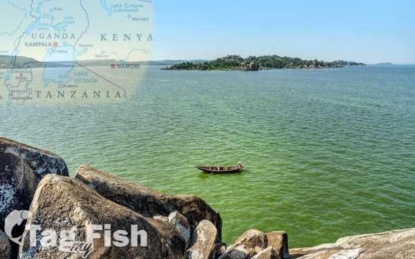
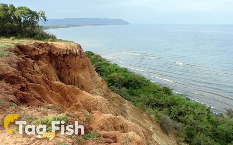
Within the Nile basin, there are five major natural lakes with a surface area totaling more than 100,000 km2 (Victoria, Edward, Albert, Kyoga and Tana). These are vast areas of permanent wetlands and seasonal flooding (the Sudd, Bahr Al-Ghazal, and Machar marshes).
There are also five major reservoir dams (Aswan High Dam, Roseires, Khasham El-Girba, Sennar, and Jebel Aulia) in the basin.
Before discharging its water into the Mediterranean Sea, the Nile fills four coastal lakes within its delta (Lake Mariut, Lake Edku, Lake Burullus and Lake Manzala) with a total area of 1100 km2.
