Ardeche
Largest tributaries
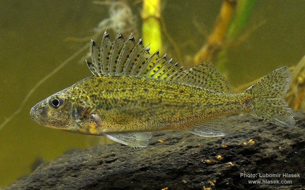
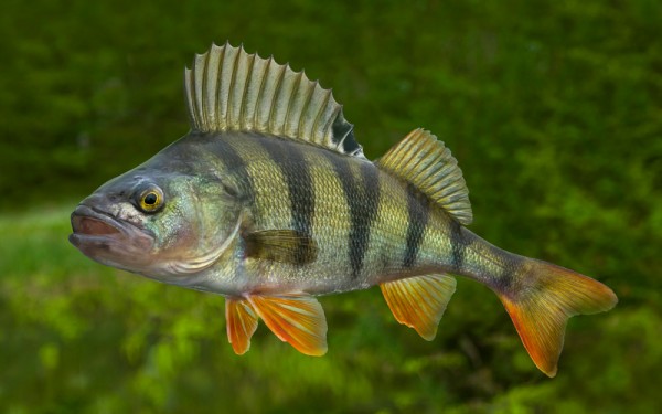
Perciformes - Perches
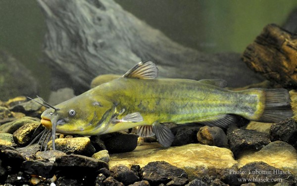
Siluriformes - Catfishes
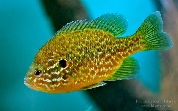
Centrarchiformes - Basses and sunfishes
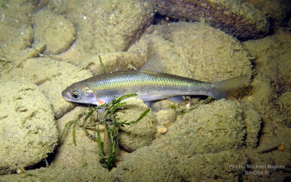
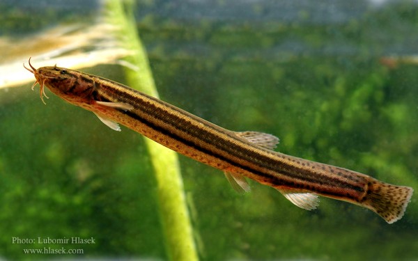
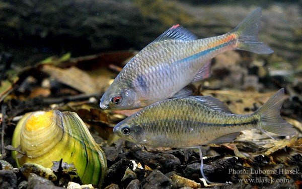
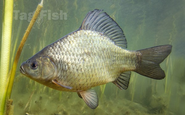
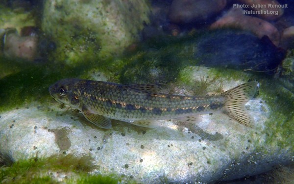
Cypriniformes - Carps
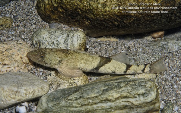
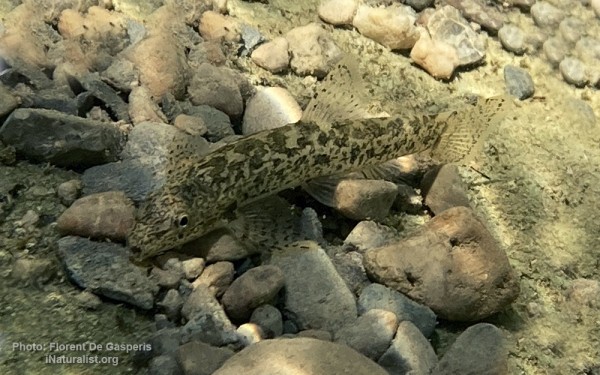
Blenniiformes - Blennies
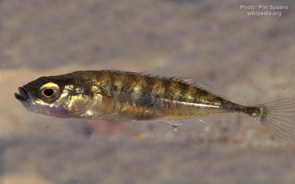
Gasterosteiformes - Sticklebacks
Perciformes - Perches
Siluriformes - Catfishes
Centrarchiformes - Basses and sunfishes
Cypriniformes - Carps
Blenniiformes - Blennies
Gasterosteiformes - Sticklebacks
The Ardèche is a 125-kilometre (78 mi) long river in south-central France, a right-bank tributary of the River Rhône. Its source is in the Massif Central, near the village of Astet. It flows into the Rhône near Pont-Saint-Esprit, north-west of Orange. The river gives its name to the French department of Ardèche.
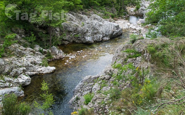
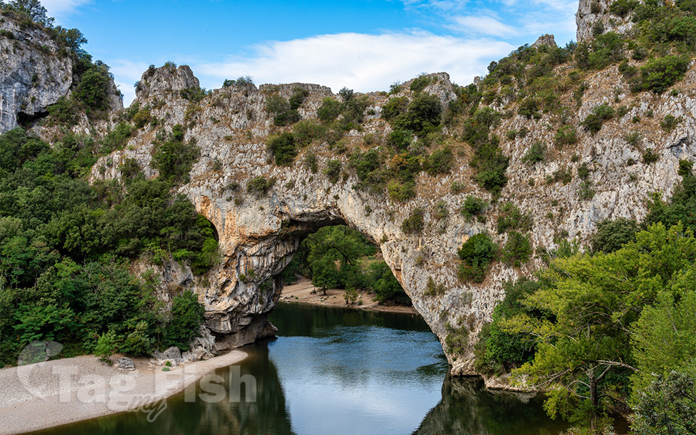
The valley of the Ardèche is very scenic, in particular a 30-kilometre (19 mi) section known as the Ardèche Gorges. The walls of the river here are limestone cliffs up to 300 metres (980 ft) high. A kayak and camping trip down the gorge is not technically difficult and is very popular in the summer. The most famous feature is a natural 60-metre (200 ft) stone arch spanning the river known as the Pont dArc (arch bridge).
The source of the river lies at 1,467 metres (4,813 ft) above sea level in the Vivarais, near the Col de la Chavade, in the forest of Mazan in the commune of Astet. After the towns of Aubenas and Ruoms, it collects the Chassezac and the Beaume and plunges into its famous gorge below Vallon-Pont-dArc. It flows into the Rhône at Pont-Saint-Esprit.
