Lake Skadar
Largest tributaries
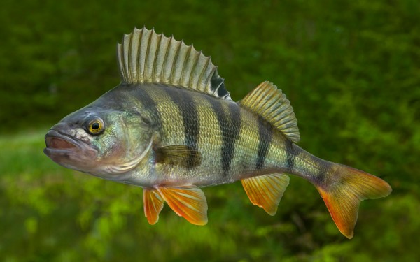
Perciformes - Perches
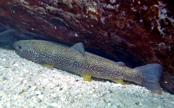
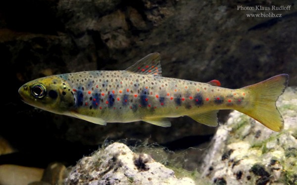
Salmoniformes - Salmons and Trouts
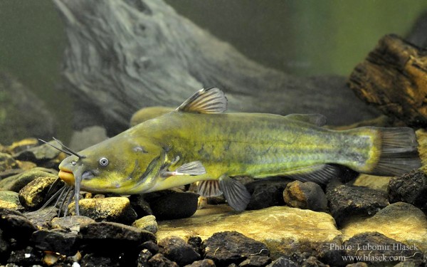
Siluriformes - Catfishes
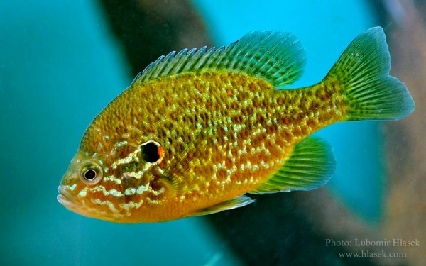
Centrarchiformes - Basses and sunfishes
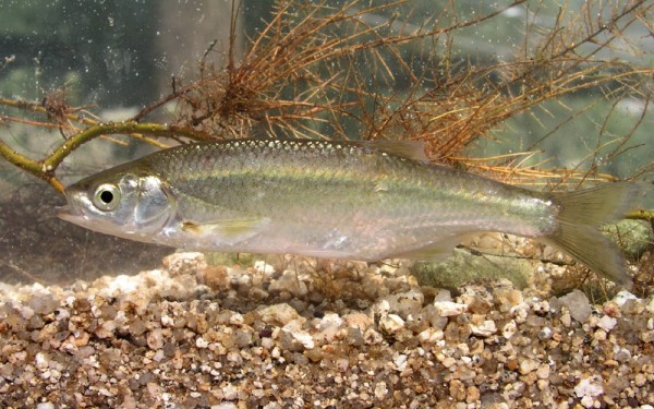
Cypriniformes - Carps
Moroniformes - Temperate basses
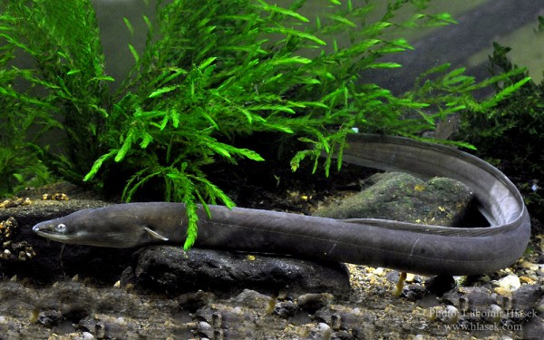
Anguilliformes - Eels and morays
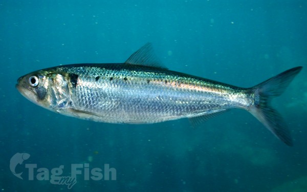
Clupeiformes - Herrings
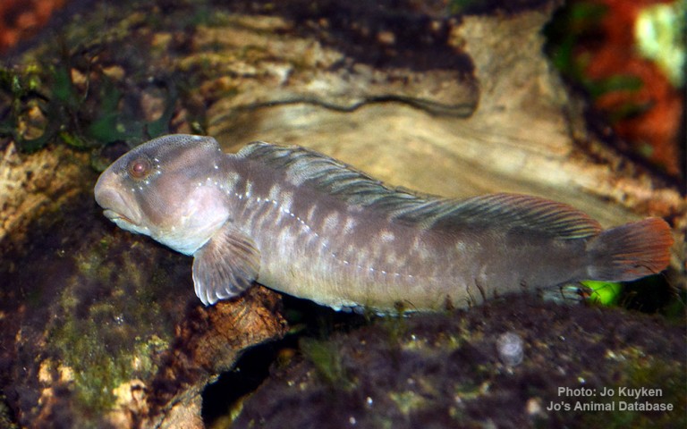
Blenniiformes - Blennies
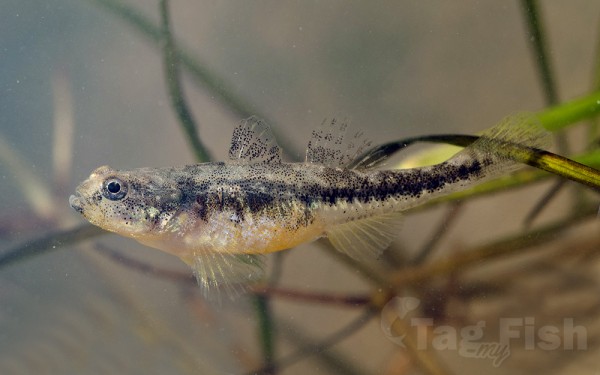
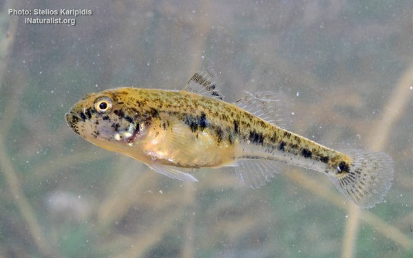
Gobiiformes - Gobies
Perciformes - Perches
Salmoniformes - Salmons and Trouts
Siluriformes - Catfishes
Centrarchiformes - Basses and sunfishes
Cypriniformes - Carps
Moroniformes - Temperate basses
Anguilliformes - Eels and morays
Clupeiformes - Herrings
Blenniiformes - Blennies
Gobiiformes - Gobies
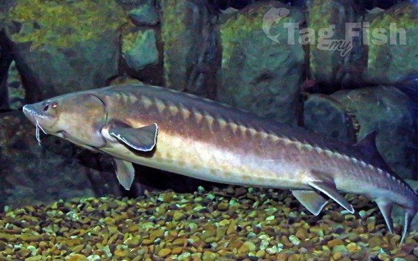
Acipenseriformes - Sturgeons and Paddlefish
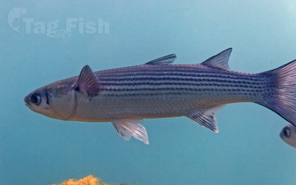
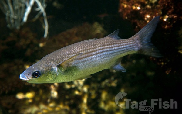
Mugiliformes - Mullets
Cyprinodontiformes - Toothcarps
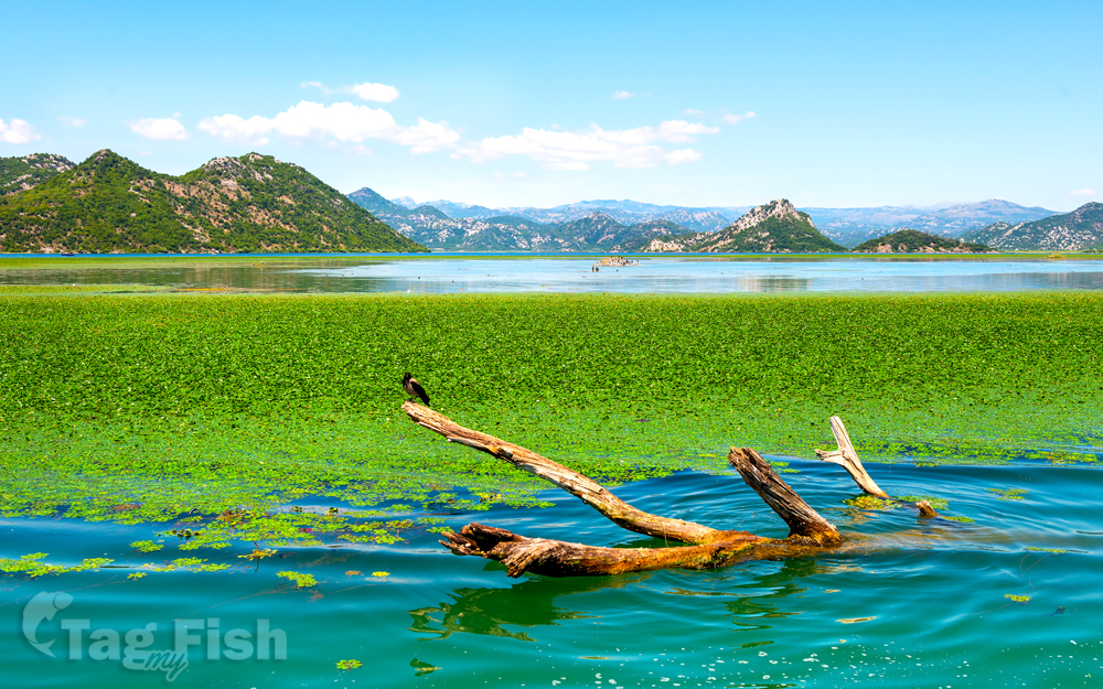
Lake Skadar is the largest lake in the Balkan Peninsula with a surface area that seasonally fluctuates between 370 km2 (140 sq mi) and 530 km2 (200 sq mi). Lake Skadar itself is located on the western Balkan.
The lake is located in the border area between Albania and Montenegro, the Montenegrin share of the area of the lake is slightly larger than the Albanian. The lakes water level also varies seasonally from 4.7 to 9.8 m above sea level. The lake extends in the NW-SE direction, and it is approximately 44 km long.
The Bojana River connects the lake with the Adriatic Sea, and the Drin River provides a link with the Ohrid Lake.
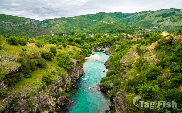
The lake is a cryptodepression, filled by the river Morača and drained into the Adriatic by the 41 km (25 mi) long Bojana (Albanian: Buna), which forms the international border on the lower half of its length. The largest inflow is from the Morača, which provides about 62% of the lake\\\\\\\\\\\\\\\\\\\\\\\\\\\\\\\\\\\\\\\\\\\\\\\\\\\\\\\\\\\\\\\\\\\\\\\\\\\\\\\\\\\\\\\\\\\\\\\\\\\\\\\\\\\\\\\\\\\\\\\\\\\\\\\\\\\\\\\\\\\\\\\\\\\\\\\\\\\\\\\\\\\\\\\\\\\\\\\\\\\\\\\\\\\\\\\\\\\\\\\\\\\\\\\\\\\\\\\\\\\\\\\\\\\\\\\\\\\\\\\\\\\\\\\\\\\\\\\’s water. Total drainage area is 5490 km2.
There are additionally some freshwater sources at the lake bottom. A characteristic feature of Lake Skadars water balance is the high inflow from a number of temporary and permanent karstic springs, some of which are sublacustrine in cryptodepressians (so called ‘oko’).
The Southern and southwestern sides of the lake are rocky, barren, and steep, having bays in which the sublacustrine springs, are usually to be found. On the northern side, there is an enormous inundated area, the boundaries of which change as water levels fluctuate.
Some small islands like Beška, with two churches on it, and Grmožur, a former fortress and prison can be found on the southwestern side of the lake.
The climate type is a hot-summer Mediterranean climate with dry summers (Csa), under Köppen climate classification.
The Montenegrin part of the lake and its surrounding area were declared a national park in 1983. The Albanian part has been designated as a Managed Nature Reserve. In 1996, by Ramsar Convention on Wetlands, it was included in the Ramsar list of wetlands of international importance. Near the mouth of Rijeka Crnojevića, 11 m (36 ft) below the surface of the water there is a well-preserved wreck of the steamboat Skanderbeg sunk by partisans in 1942, during the Second World War.
