Congaree River
Water type: River
Continent:
North America
Climate:
Subtropical
Country:
United States of America (USA)
Largest tributaries
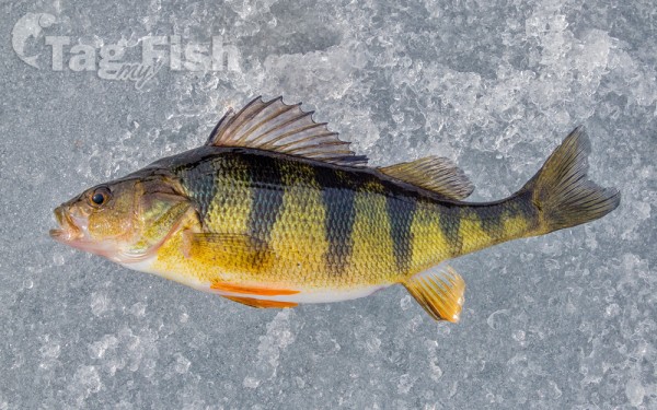
Perciformes - Perches
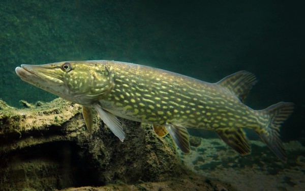
Esociformes - Pikes
Siluriformes - Catfishes
Centrarchiformes - Basses and sunfishes
Cypriniformes - Carps
Acipenseriformes - Sturgeons and Paddlefish
Lepisosteiformes - Gars
Amiiformes - Bowfins
Acanthuriformes - Surgeonfishes
Moroniformes - Temperate basses
Clupeiformes - Herrings
Pleuronectiformes - Flatfishes
Cyprinodontiformes - Toothcarps
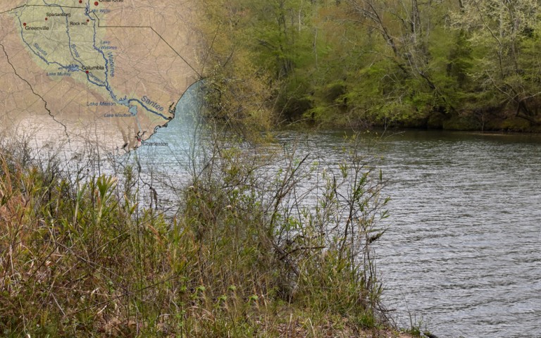
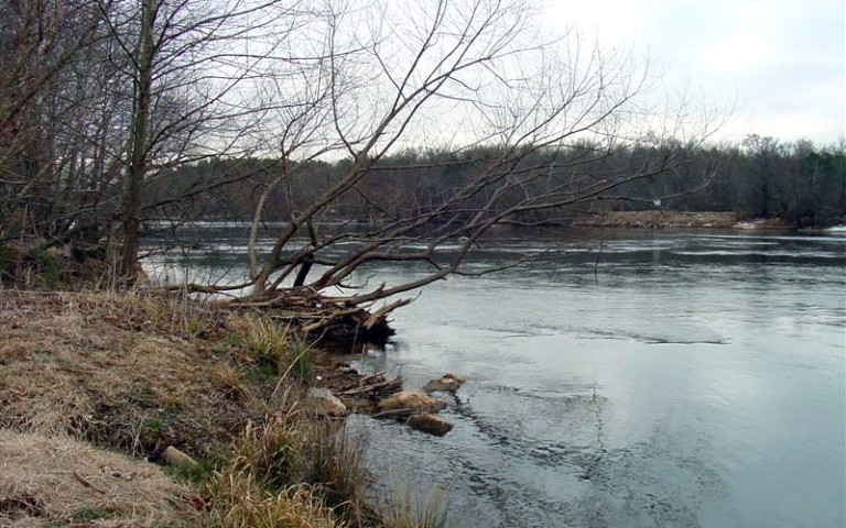
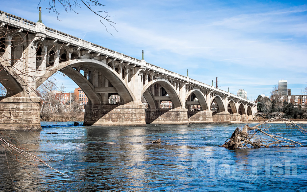
The Congaree River is a short but wide river in South Carolina in the United States; It flows for approximately 53 miles (85 km). The river serves an important role as the final outlet channel for the entire Lower Saluda and Lower Broad watersheds, before merging with the Wateree River just north of Lake Marion to form the Santee River.
It is formed in Columbia by the confluence of the Saluda and Broad rivers near the Piedmont Fall Line. It serves as part of the boundary between Richland, Calhoun, and Lexington counties. The only cities near the river are Columbia on the east, and Cayce and West Columbia on the west.
