Lewis and Clark Lake
Perciformes - Perches
Esociformes - Pikes
Siluriformes - Catfishes
Centrarchiformes - Basses and sunfishes
Cypriniformes - Carps
Acipenseriformes - Sturgeons and Paddlefish
Anabantiformes - Gouramies and snakeheads
Lepisosteiformes - Gars
Amiiformes - Bowfins
Clupeiformes - Herrings
Acanthuriformes - Surgeonfishes
Anguilliformes - Eels and morays
Moroniformes - Temperate basses
Percopsiformes - Trout-perches
Gasterosteiformes - Sticklebacks
Hiodontiformes - Mooneyes
Cyprinodontiformes - Toothcarps
Carcharhiniformes - Ground sharks
Petromyzontiformes - Lampreys
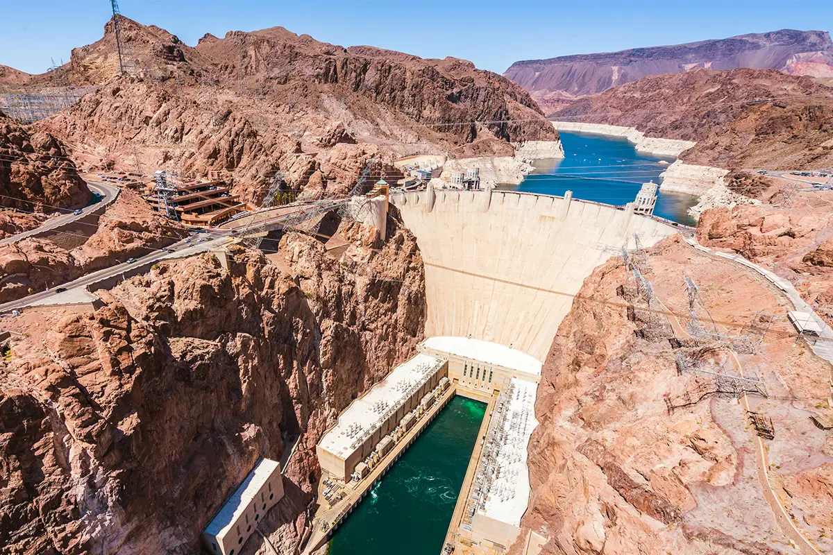
Lewis and Clark Lake is a 31,400 acre (130 km²) reservoir located on the border of the U.S. states of Nebraska and South Dakota on the Missouri River. The lake is approximately 25 miles (40 km) in length with over 90 miles (140 km) of shoreline and a maximum water depth of 45 feet (14 m). The lake is impounded by Gavins Point Dam and is managed by the U.S. Army Corps of Engineers, Omaha District.
The lake is an impoundment of the Missouri River, located approximately 811.1 miles (1,305.3 km) upstream of St. Louis, Missouri where the Missouri River joins the Mississippi River. The lake is located within Cedar and Knox Counties in Nebraska and Bon Homme and Yankton Counties in South Dakota. Lake Yankton is located immediately downstream of Gavins Point Dam. The Santee Sioux Reservation is located along the southwestern shore in Knox County. The lake is located approximately 4 miles (6.4 km) west or upstream of Yankton, South Dakota.
The natural resources and public lands on and around the lake are cooperatively managed by the U.S. Army Corps of Engineers, Nebraska Game and Parks Commission, and the South Dakota Department of Game, Fish, and Parks. Common game species around the lake include White-tailed deer, Wild Turkey, many species of waterfowl, Pheasant, Cottontail rabbit, Mourning Dove, and squirrel. The American Bald Eagle is commonly seen around the dam and lake area, especially in the winter months. Each January the Lewis and Clark Visitor Center hosts ’Bald Eagle Days’ a live-bird program that is popular with visitors.
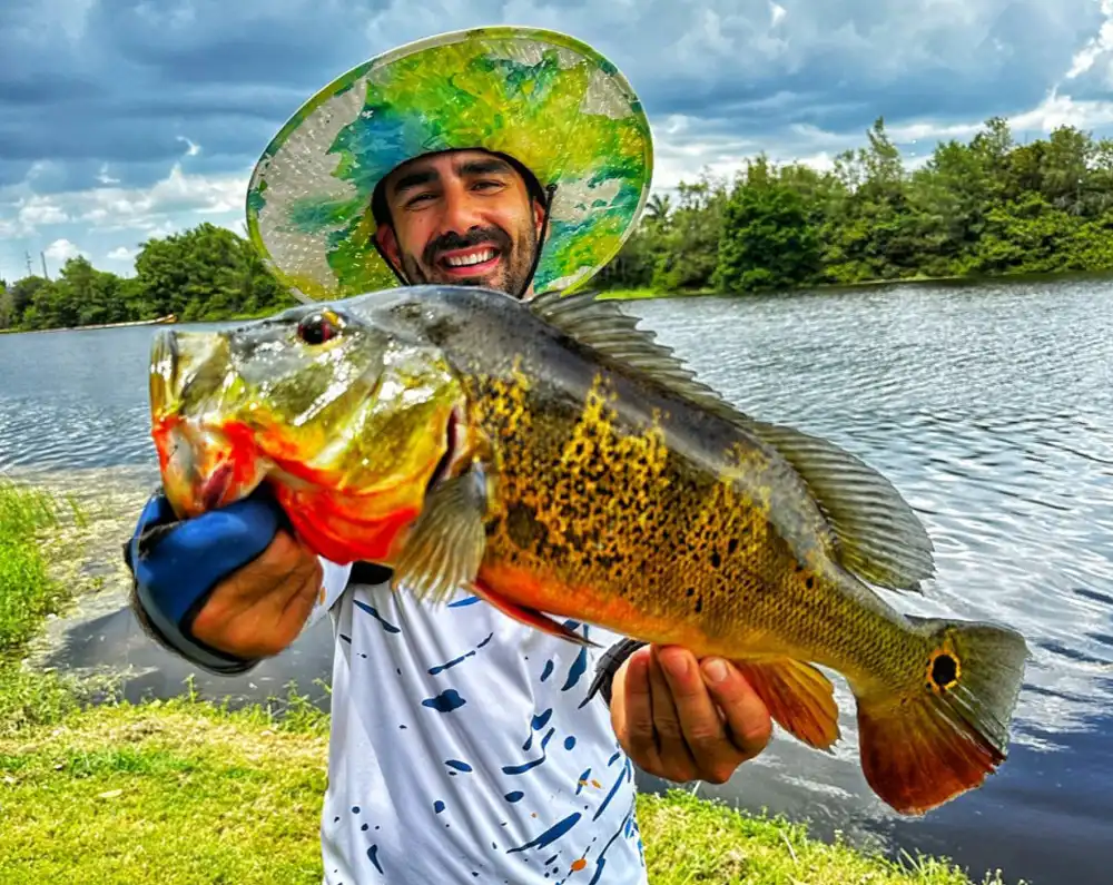
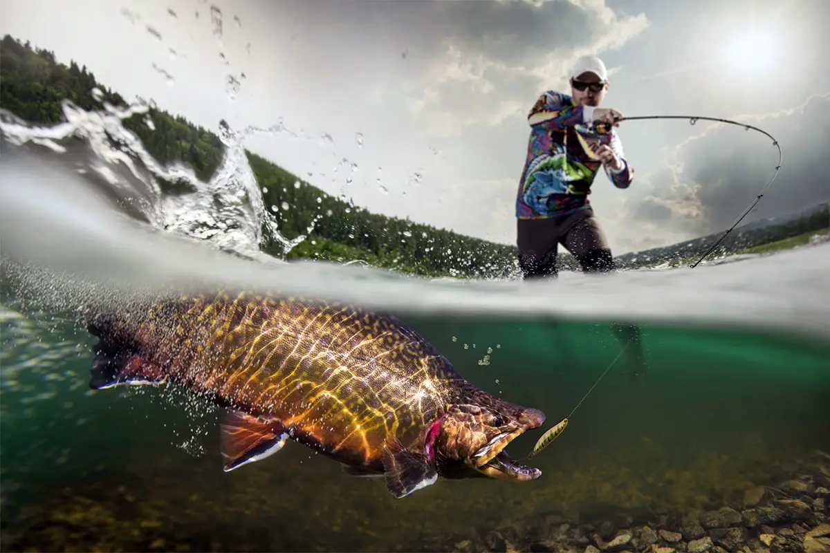
Species of fish present include walleye, northern pike, sauger, sunfish, yellow perch, common carp, black bullhead, channel catfish, and smallmouth bass. Fishing below Gavins Point Dam is very popular, especially for the annual paddlefish snagging season in October and bowfishing in June. The ’Fishing Wall’ immediately below the dam’s spillway is popular for fishing year-round as the dam keeps the river free of ice in the winter months.
The U.S. Army Corps of Engineers and the U.S. Fish and Wildlife Service monitor and manage threatened and endangered species on the lake and river. Species of concern include the Pallid sturgeon, least tern, and piping plover. A branch of the Corps known as the Missouri River Recovery Program Archived 2018-04-15 at the Wayback Machine monitors these species and helps to restore native habitat that was lost as a result of dam construction and channelization of the Missouri River. The Gavins Point National Fish Hatchery is located just downstream of the lake.