Shatt al-Arab
Cypriniformes - Carps
Cypriniformes - Carps
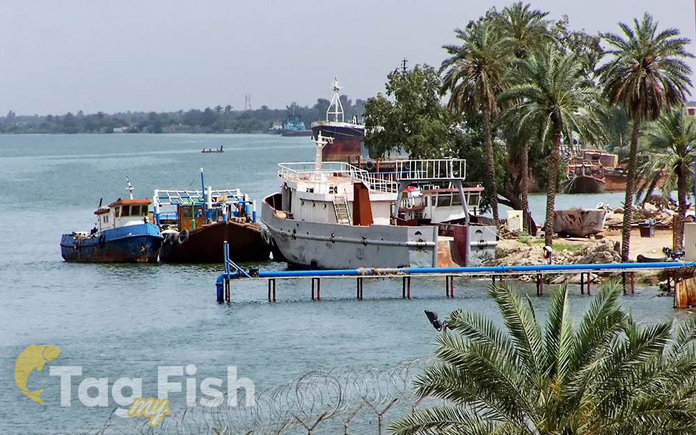
The Shatt al-Arab, locally known as Dijla Al-Awara, also known as Arvand Rud in Iran, is a river of some 200 km (120 mi) in length formed by the confluence of the Euphrates and the Tigris in the town of al-Qurnah in the Basra Governorate of southern Iraq.
The southern end of the river constitutes the border between Iraq and Iran down to the mouth of the river where it discharges into the Persian Gulf.
The Shatt al-Arab varies in width from about 232 metres (761 ft) at Basra to 800 metres (2,600 ft) at its mouth. It is thought that the waterway formed relatively recently in geologic time (see below), with the Tigris and Euphrates originally emptying into the Persian Gulf via a channel further to the west.
The Karun River, a tributary that joins the waterway from the Iranian side, deposits large amounts of silt into the river; this necessitates continuous dredging to keep it navigable.
