Chetco River

The Chetco River is a 56-mile-long (90 km) stream located in the southwestern portion of the U.S. state of Oregon. It drains approximately 352 square miles (912 km2) of Curry County. Flowing through a rugged and isolated coastal region, it descends rapidly from about 3,200 feet (975 m) to sea level at the Pacific Ocean.
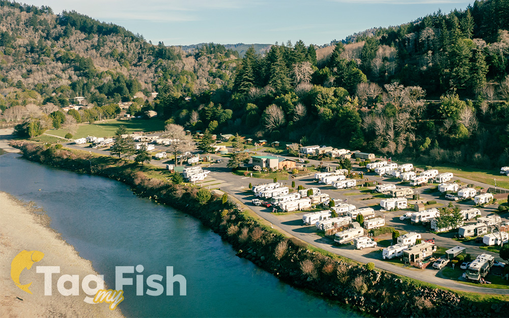
Fishing, four-wheel driving, swimming, boating, camping, sightseeing, and picnicking are the primary recreational activities in the watershed. Whitewater kayaking is also popular in the winter months when water levels are high. Several trails are maintained throughout the Kalmiopsis Wilderness, as well as other regions in the watershed. Eight boat launches are located on the river between its confluence with the south fork and its mouth. Alfred A. Loeb State Park, located on the banks of the Chetco, has three cabins and 48 camping sites.


