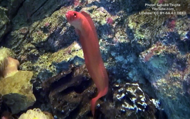
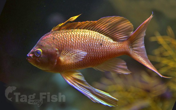
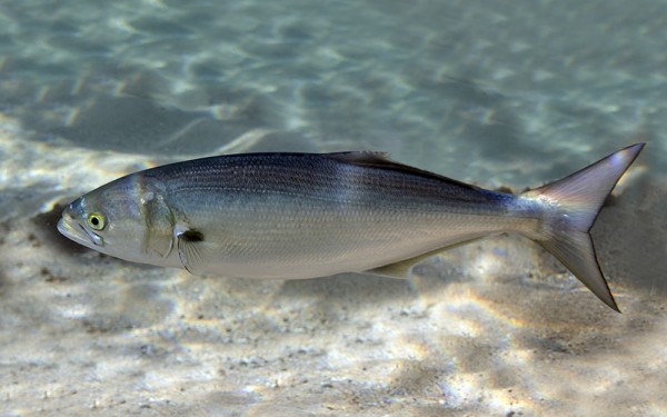
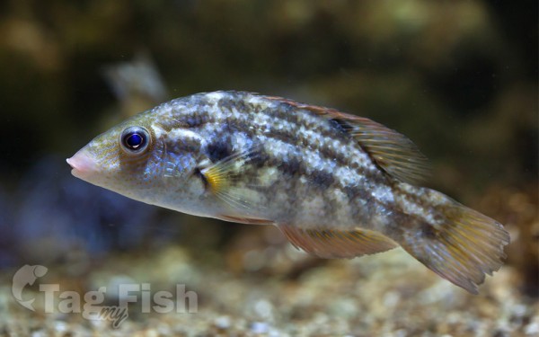
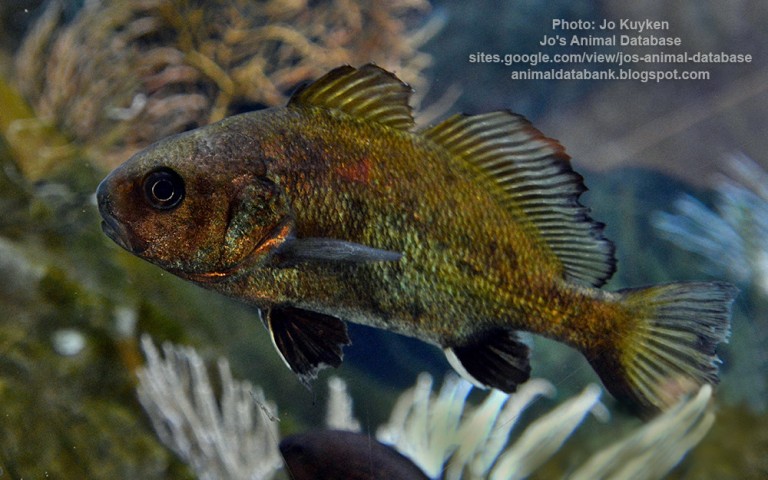
Perciformes - Perches
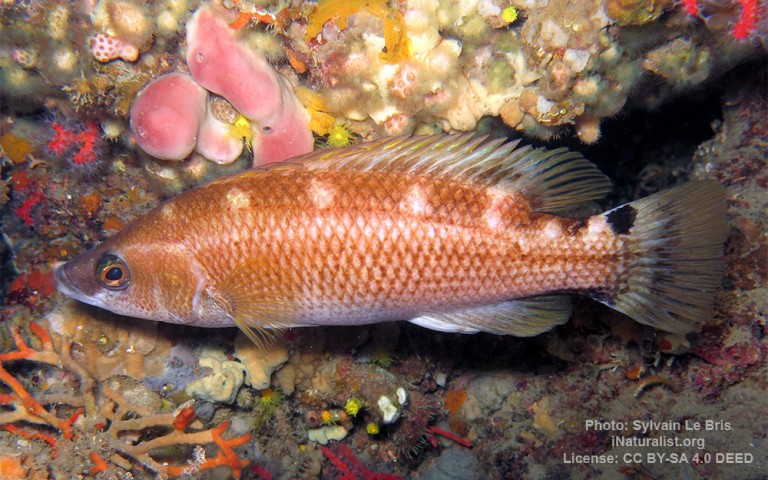
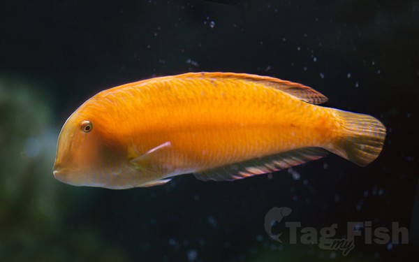
Labriformes - Wrasses
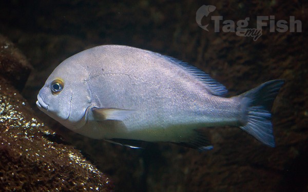
Acanthuriformes - Surgeonfishes
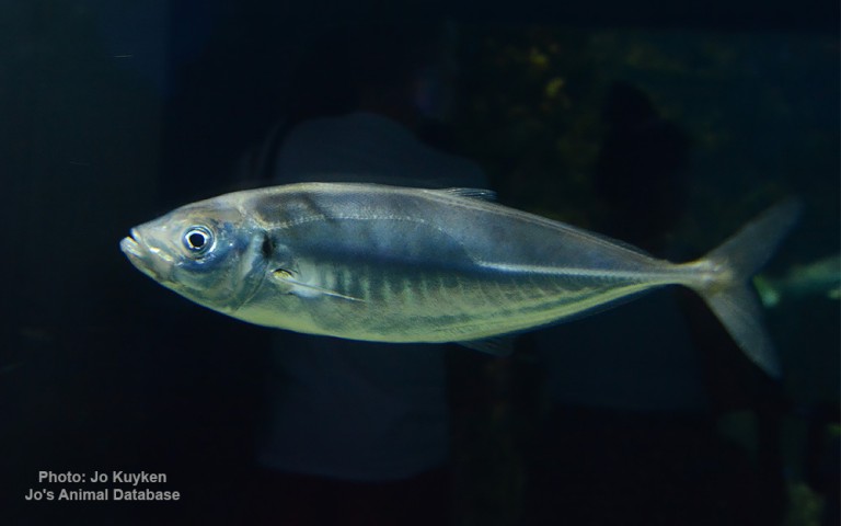
Carangiformes - Jacks
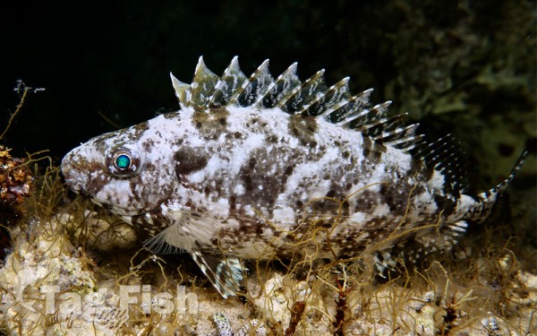
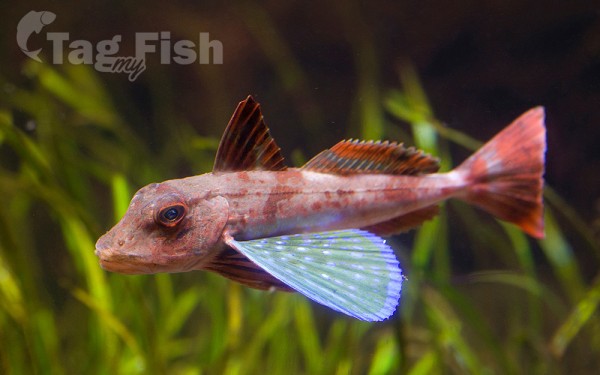
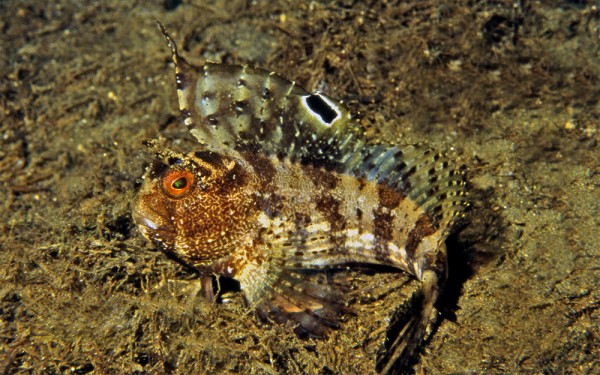
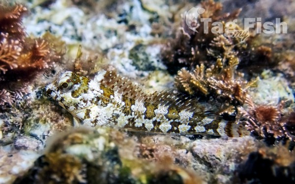
Scorpaeniformes - Mail-cheeked fishes
Moroniformes - Temperate basses
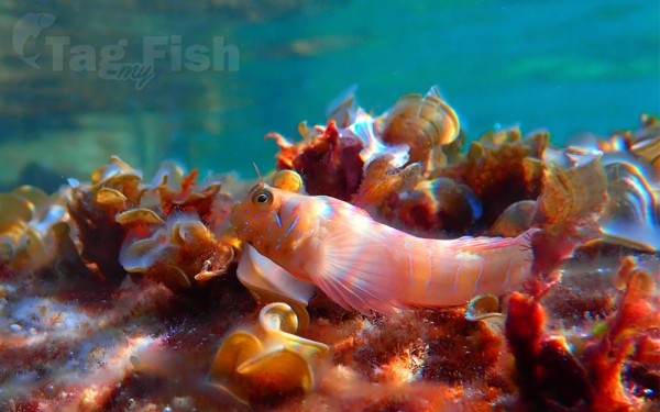
Blenniiformes - Blennies


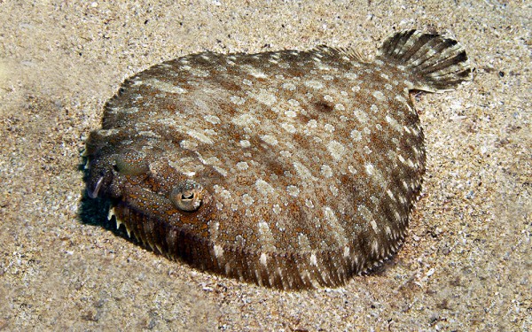
Pleuronectiformes - Flatfishes

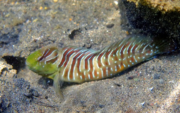
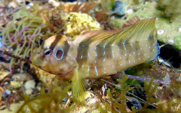
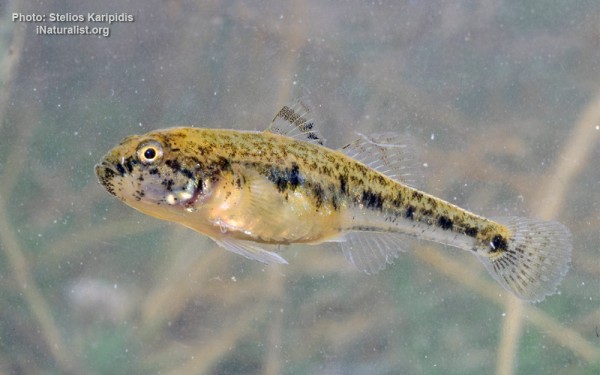
Gobiiformes - Gobies
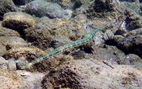
Syngnathiformes - Pipefishes and Seahorses
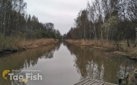
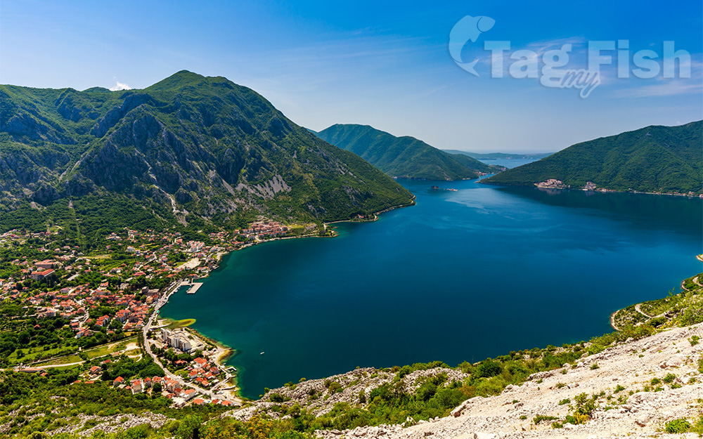
The bay is about 28 kilometres (17 mi) long with a shoreline extending 107.3 kilometres (66.7 mi). It is surrounded by two massifs of the Dinaric Alps: the Orjen mountains to the west, and the Lovćen mountains to the east. The narrowest section of the bay, the 2,300-metre (7,500 ft) long Verige Strait, is only 340 metres (1,120 ft) wide at its narrowest point. The bay is a ria of the vanished Bokelj River, which used to flow from the high mountain plateaus of Mount Orjen.
The bay is composed of several smaller broad bays, united by narrower channels. The bay inlet was formerly a river system. Tectonic and karstification processes led to the disintegration of this river. After heavy rains, the waterfall of Sopot spring at Risan appears, and Škurda, another well-known spring, runs through a canyon from Lovćen.
The outermost part of the bay is the Bay of Tivat. On the seaward side is the Bay of Herceg Novi, at the main entrance to the Bay of Kotor. The inner bays are the Bay of Risan to the northwest and the Bay of Kotor to the southeast.
The Verige Strait represents the bay’s narrowest section and is located between Cape St. Nedjelja and Cape Opatovo; it separates the inner bay east of the strait from the Bay of Tivat.