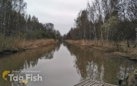
Tugaloo River
Water type: River
Sources:
Tugalo Lake
Continent:
North America
Climate:
Temperate
Country:
United States of America

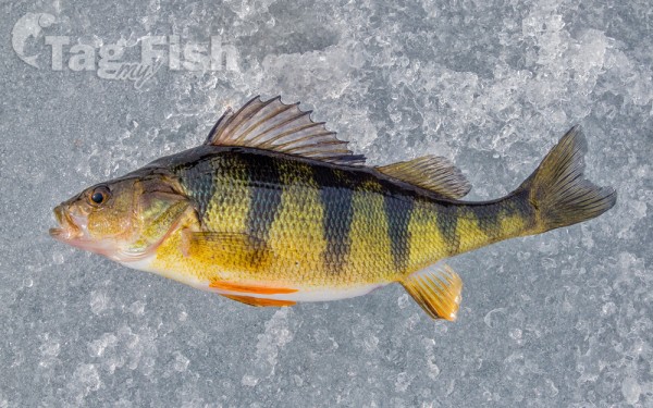
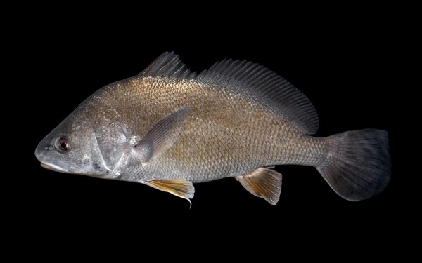
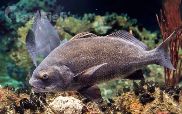
Perciformes - Perches
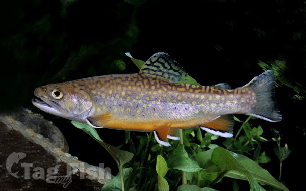
Salmoniformes - Salmons and Trouts
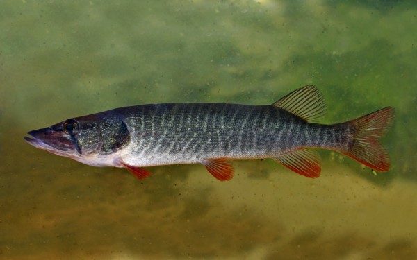
Esociformes - Pikes
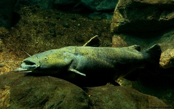
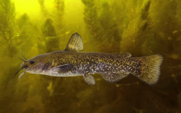
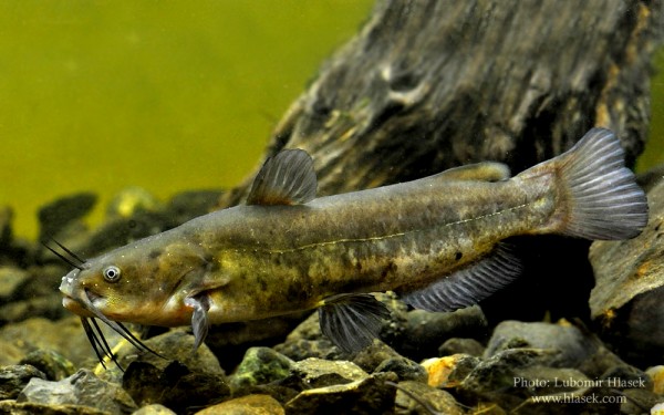
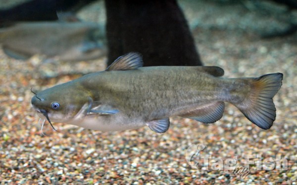
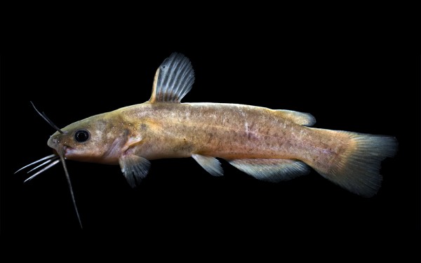
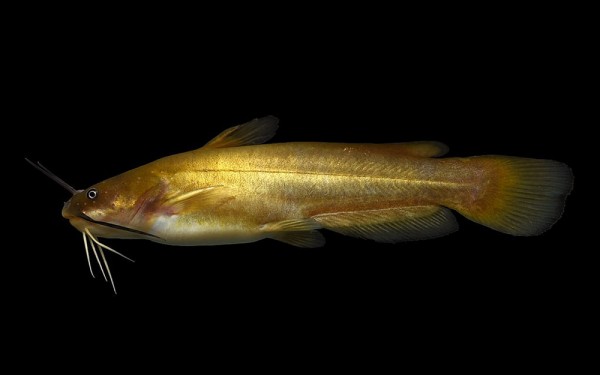
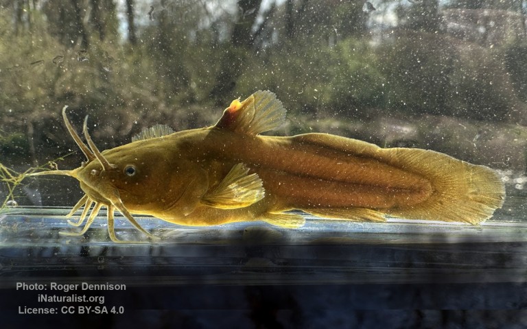
Siluriformes - Catfishes
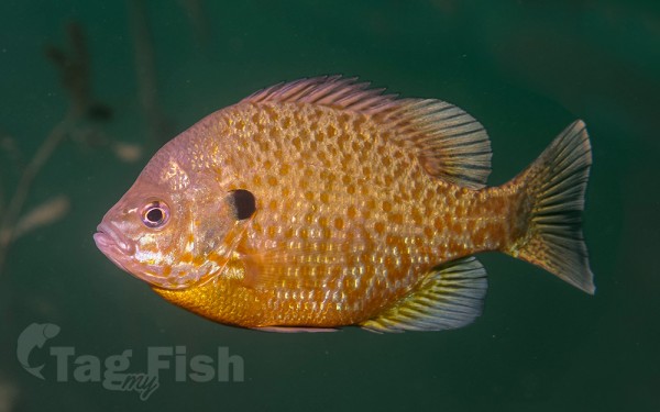
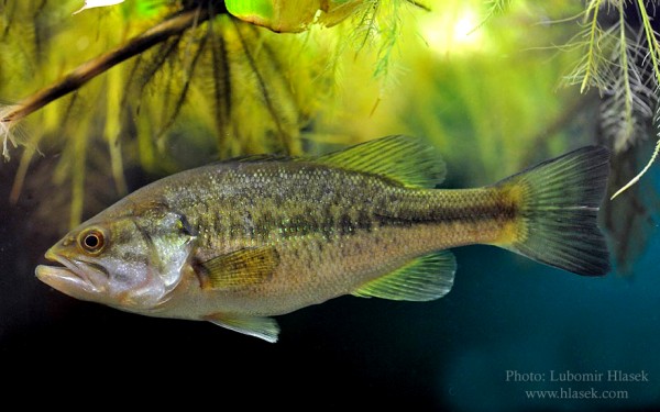
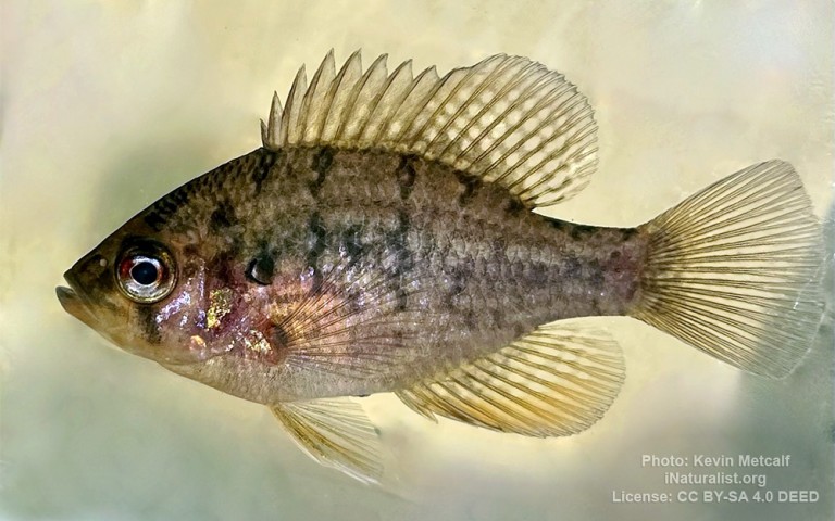
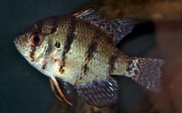
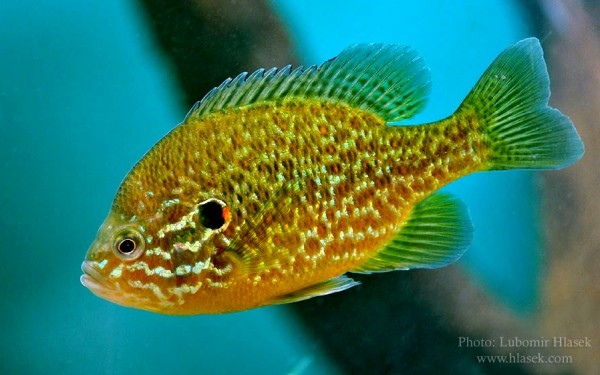
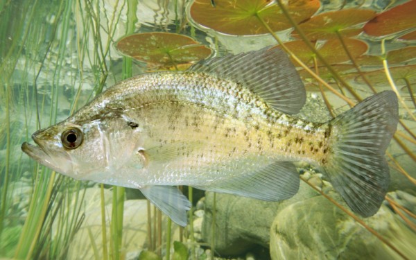
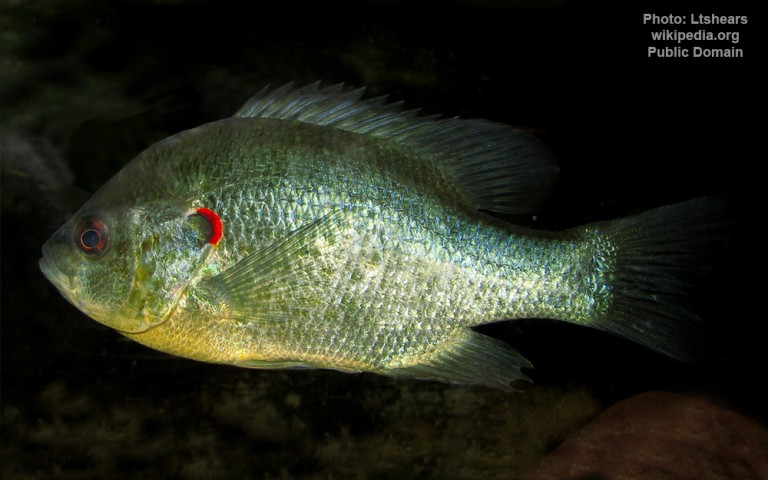
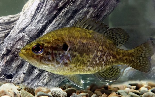
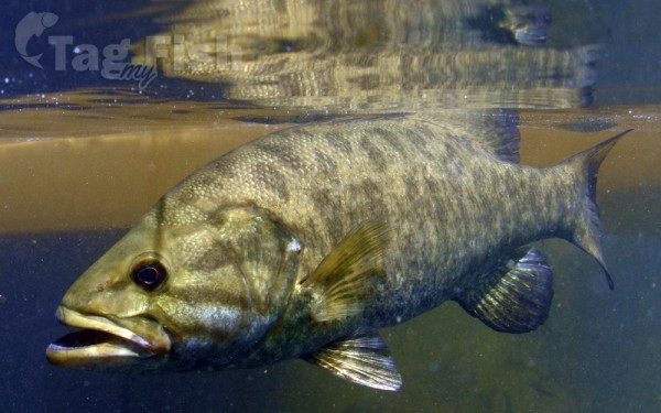
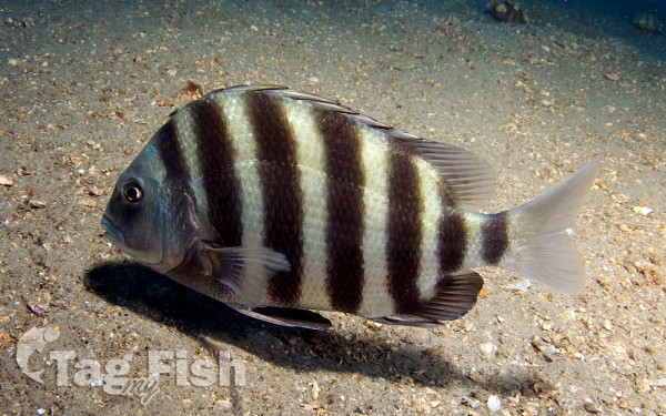
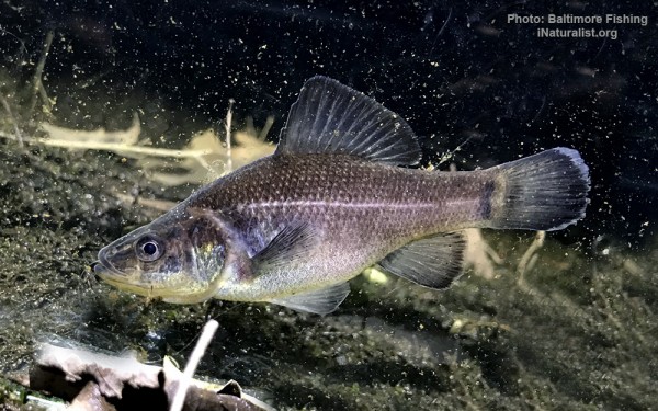
Centrarchiformes - Basses and sunfishes
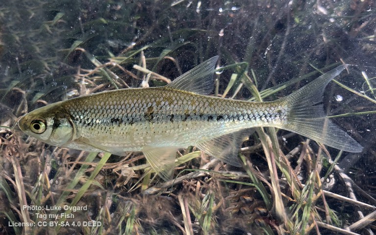
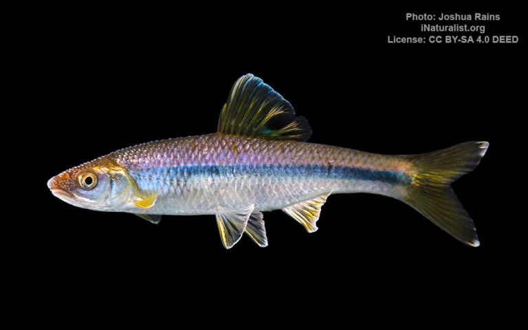
Cypriniformes - Carps


Amiiformes - Bowfins
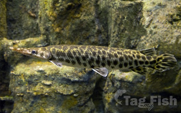
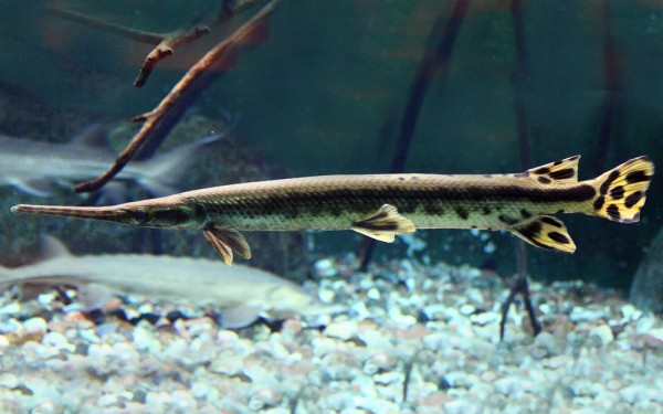
Lepisosteiformes - Gars
Spariformes - Breams and porgies
Acanthuriformes - Surgeonfishes

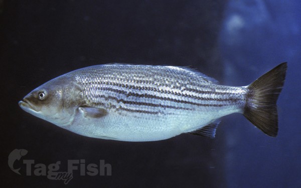
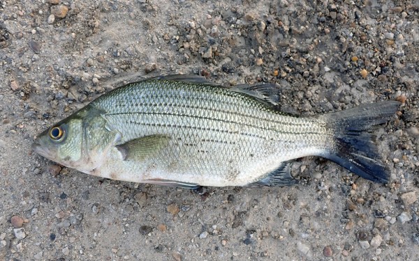
Moroniformes - Temperate basses
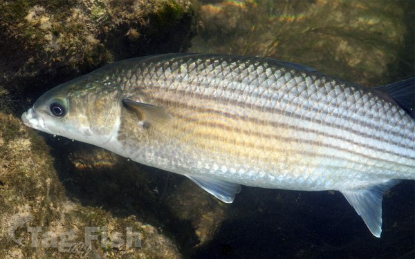
Mugiliformes - Mullets
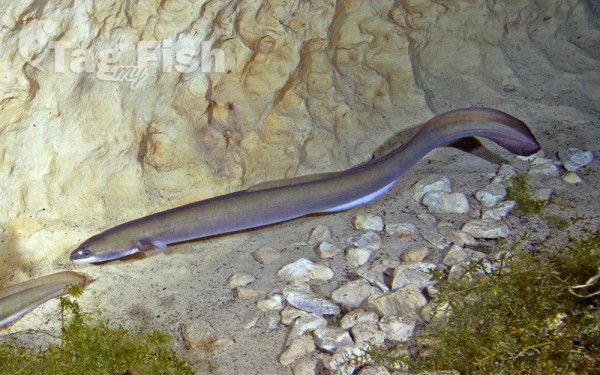
Anguilliformes - Eels and morays
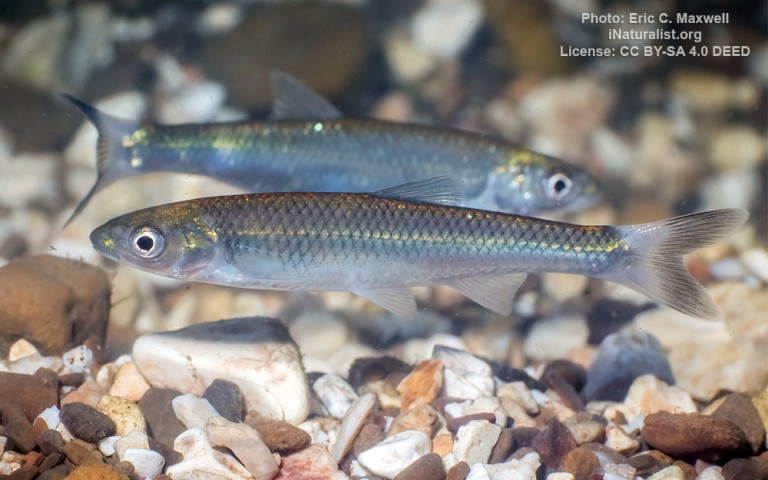
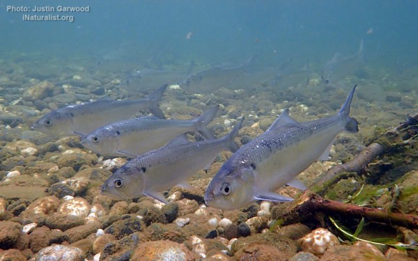
Clupeiformes - Herrings
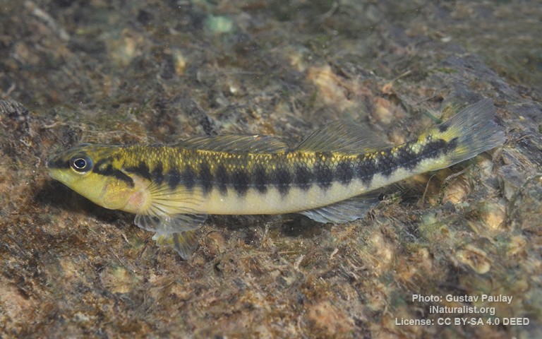
Percopsiformes - Trout-perches
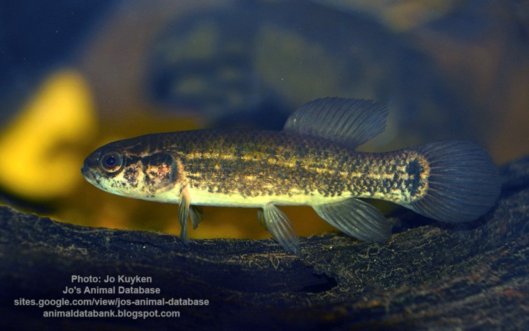
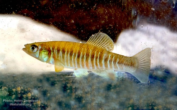
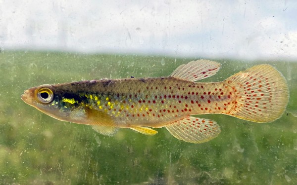
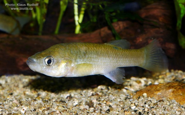
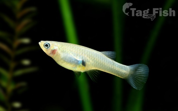
Cyprinodontiformes - Toothcarps

Perciformes - Perches
Salmoniformes - Salmons and Trouts
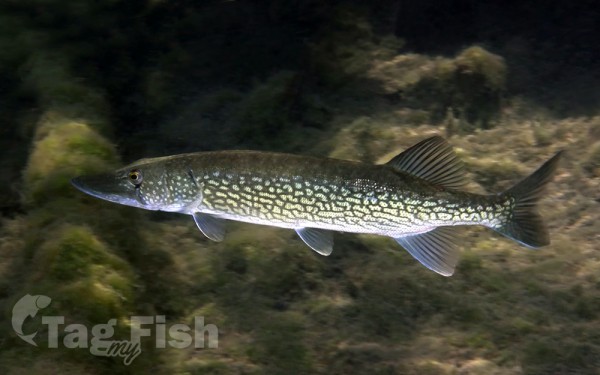
Esociformes - Pikes
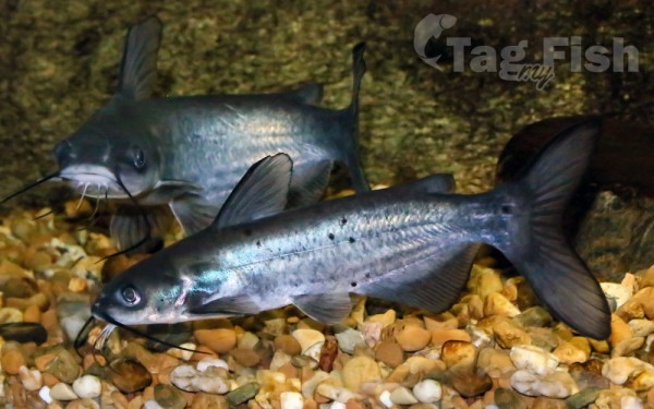
Siluriformes - Catfishes
Centrarchiformes - Basses and sunfishes
Cypriniformes - Carps
Amiiformes - Bowfins
Lepisosteiformes - Gars
Spariformes - Breams and porgies
Acanthuriformes - Surgeonfishes
Moroniformes - Temperate basses
Mugiliformes - Mullets
Anguilliformes - Eels and morays
Clupeiformes - Herrings
Percopsiformes - Trout-perches
Cyprinodontiformes - Toothcarps
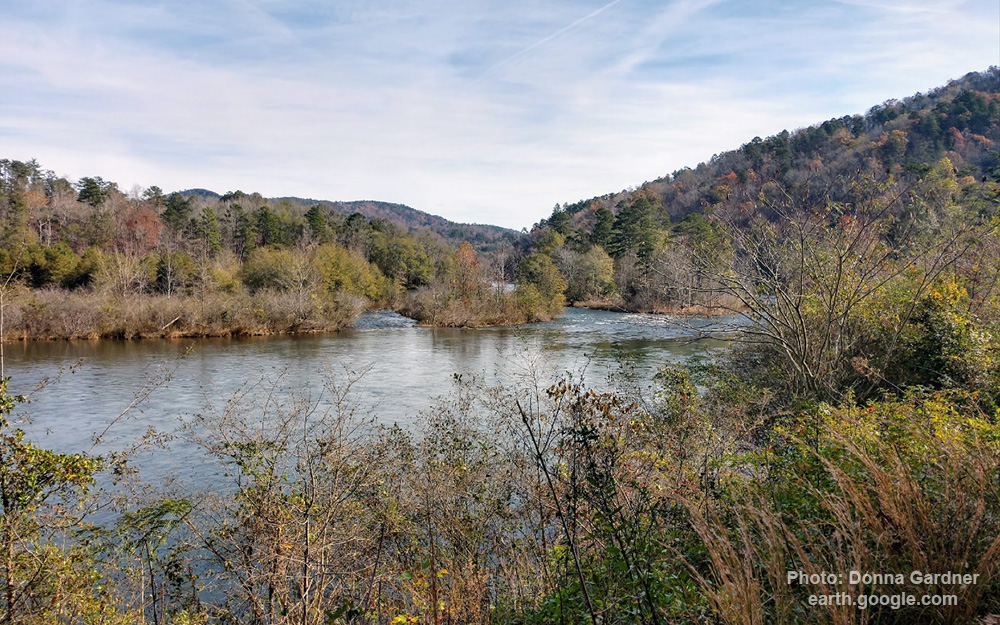
The Tugaloo River (originally Tugalo River) is a 45.9-mile-long (73.9 km) river that forms part of the border between the U.S. states of Georgia and South Carolina.
It is fed by the Tallulah River and the Chattooga River, which each form an arm of Lake Tugalo, on the edge of Georgia’s Tallulah Gorge State Park. The Tugaloo flows out of the lake via Tugaloo Dam, passing into Lake Yonah and through Yonah Dam. The river ends as an arm of Lake Hartwell, as does South Carolina’s Seneca River which is formed by the confluence of the Keowee River and Twelvemile Creek.
Below Lake Hartwell, it is called the Savannah River.