Muna

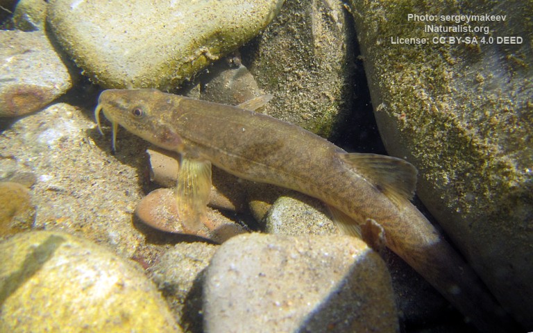
Salmoniformes - Salmons and Trouts
Cypriniformes - Carps
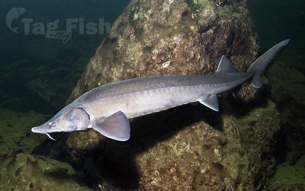
Acipenseriformes - Sturgeons and Paddlefish
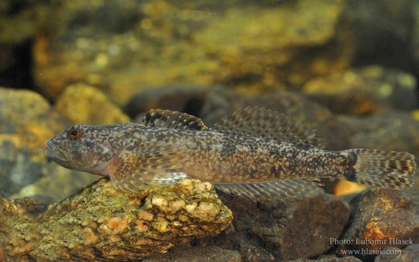
Scorpaeniformes - Mail-cheeked fishes
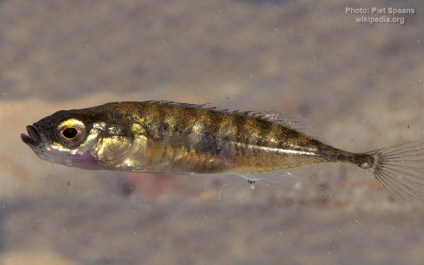
Gasterosteiformes - Sticklebacks
Salmoniformes - Salmons and Trouts
Cypriniformes - Carps
Acipenseriformes - Sturgeons and Paddlefish
Scorpaeniformes - Mail-cheeked fishes
Gasterosteiformes - Sticklebacks
The Muna (Russian: Муна) is a river in Yakutia (Sakha Republic), Russia. It is a left tributary of the lower reaches of the Lena and has a length of 715 km.
The river begins a little to the north of the Polar Circle at the confluence of the small rivers Orto-Muna and Ulakhan-Muna in the northeastern slopes of the Central Siberian Plateau at an elevation of 332 metres. It flows roughly eastwards in a deep valley and, after leaving the mountainous region it meanders across the Central Yakutian Lowland among almost 2,500 lakes, nearly parallel to the Motorchuna to the north. The river broadens in the plain, reaching a width of 300 m when it meets the left bank of the lower course of the Lena 606 km from its mouth, a little to the north of the mouth of the Kyuelenke.
The Muna freezes between the end of November and the beginning of December and remains under ice until the end of April or the beginning of May. From the end of May to June it flows at a high level, flooding sometimes in the summer. The area of the river basin is uninhabited.
