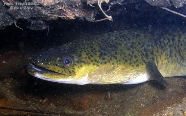
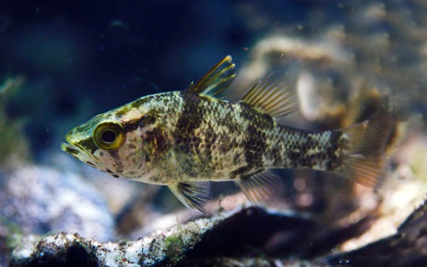
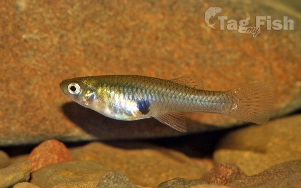
Burnett
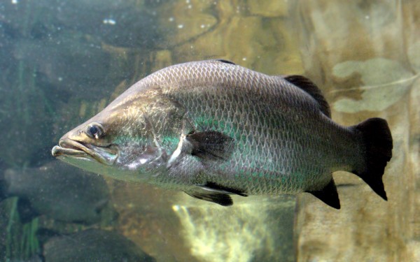
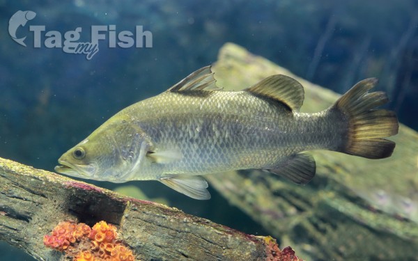
Perciformes - Perches
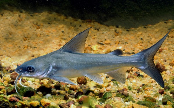
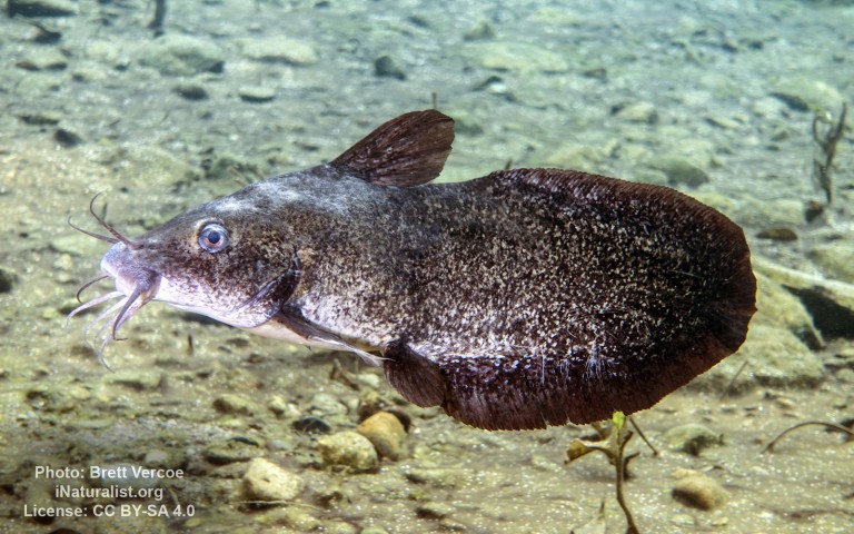
Siluriformes - Catfishes
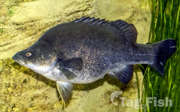
Centrarchiformes - Basses and sunfishes
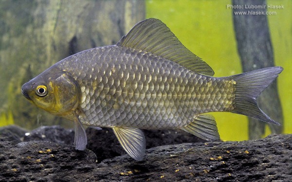
Cypriniformes - Carps
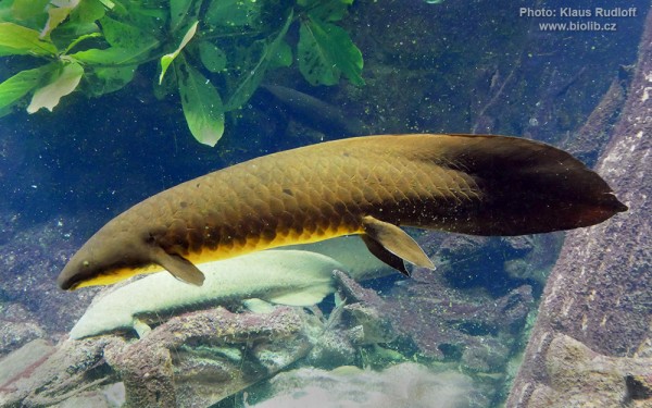
Ceratodontiformes - Lungfishes
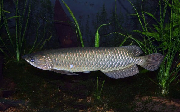
Osteoglossiformes - Bony tongues
Anguilliformes - Eels and morays
Kurtiformes - Nurseryfishes & Cardinalfishes
Cyprinodontiformes - Toothcarps
Perciformes - Perches
Siluriformes - Catfishes
Centrarchiformes - Basses and sunfishes
Cypriniformes - Carps
Ceratodontiformes - Lungfishes
Osteoglossiformes - Bony tongues
Anguilliformes - Eels and morays
Kurtiformes - Nurseryfishes & Cardinalfishes
Cyprinodontiformes - Toothcarps
Perciformes - Perches
Siluriformes - Catfishes
Centrarchiformes - Basses and sunfishes
Cypriniformes - Carps
Ceratodontiformes - Lungfishes
Osteoglossiformes - Bony tongues
Anguilliformes - Eels and morays
Kurtiformes - Nurseryfishes & Cardinalfishes
Cyprinodontiformes - Toothcarps
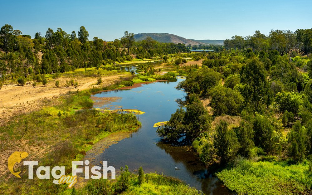
The Burnett River is a river located in the Wide Bay–Burnett and Central Queensland regions of Queensland, Australia.
The Burnett River rises in the Burnett Range, part of the Great Dividing Range, close to Mount Gaeta and east of Monto. It drains a basin covering 33,210 km² which is 1.9% of the total area of Queensland.
The river flows generally south past Eidsvold and Mundubbera before heading east, adjacent to the townships of Gayndah and Wallaville before entering the city of Bundaberg. The river flows into the Coral Sea at Burnett Heads, roughly 20 kilometres (12 mi) from Bundaberg. The river descends 485 metres (1,591 ft) over its 435-kilometre (270 mi) course.
The Burnett River region is largely given over to growing sugar cane and small crops. The river is part of the Brigalow Belt and South East Queensland bioregions.
