Ruzizi
Natural lakes
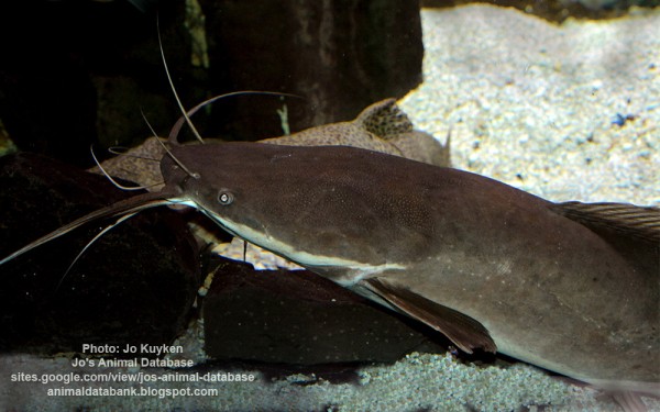
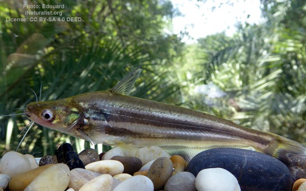
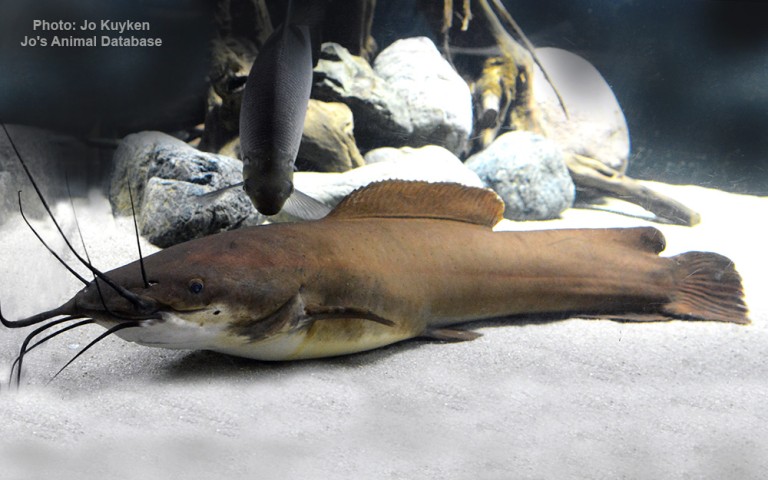
Siluriformes - Catfishes
Cypriniformes - Carps
Cichliformes - Cichlids
Osteoglossiformes - Bony tongues
Characiformes - Characins
Ceratodontiformes - Lungfishes
Polypteriformes - Bichirs
Siluriformes - Catfishes
Cypriniformes - Carps
Cichliformes - Cichlids
Osteoglossiformes - Bony tongues
Characiformes - Characins
Ceratodontiformes - Lungfishes
Polypteriformes - Bichirs
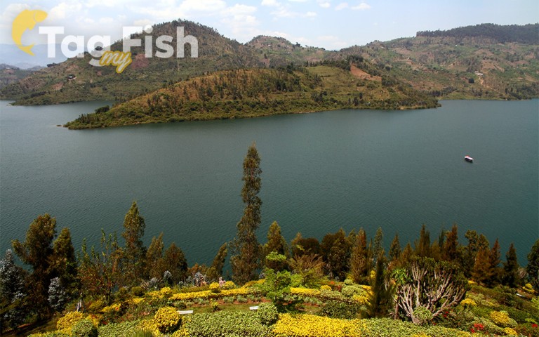
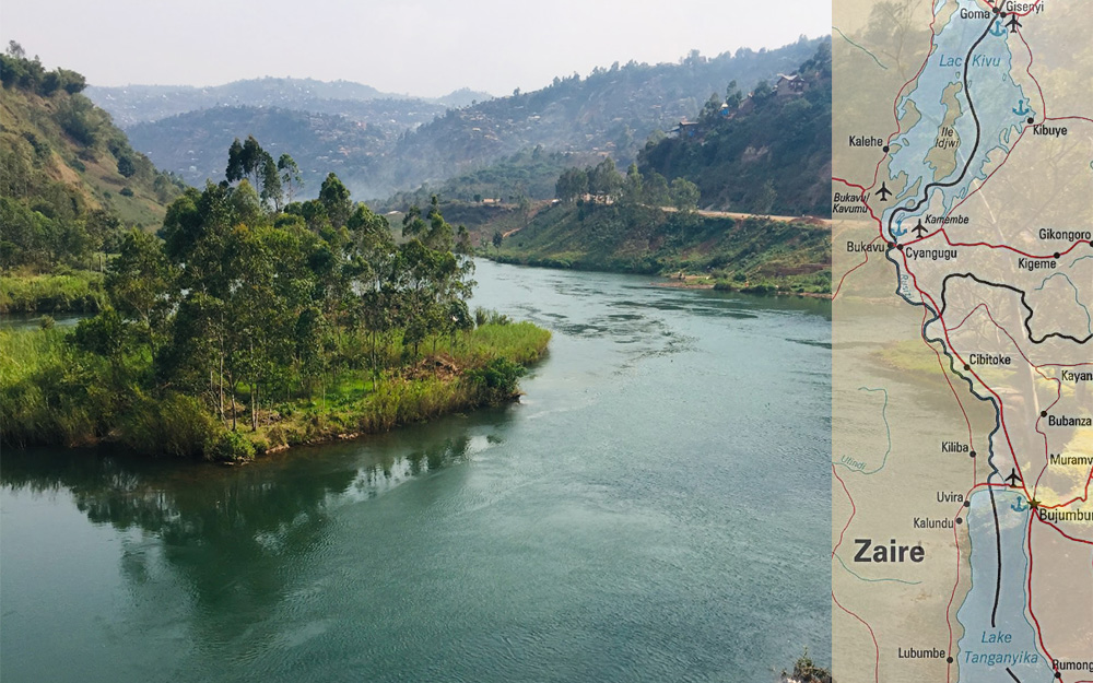
The Ruzizi (also sometimes spelled Rusizi) is a river, 117 kilometres (73 mi) long, that flows from Lake Kivu to Lake Tanganyika in Central Africa, descending from about 1,500 metres (4,900 ft) to about 770 metres (2,530 ft) above sea level over its length.
The steepest gradients occur over the first 40 kilometres (25 mi), where hydroelectric dams have been built.
Further downstream, the Ruzizi Plain, the floor of the Western Rift Valley, has gentle hills, and the river flows into Lake Tanganyika through a delta, with one or two small channels splitting off from the main channel.
The Ruzizi is a young river, formed about 10,000 years ago when volcanism associated with continental rifting created the Virunga Mountains. The mountains blocked Lake Kivu’s former outlet to the drainage basin of the Nile and instead forced the lake overflow south down the Ruzizi and the drainage basin of the Congo.
