Krasnoyarsk reservoir
Largest tributaries
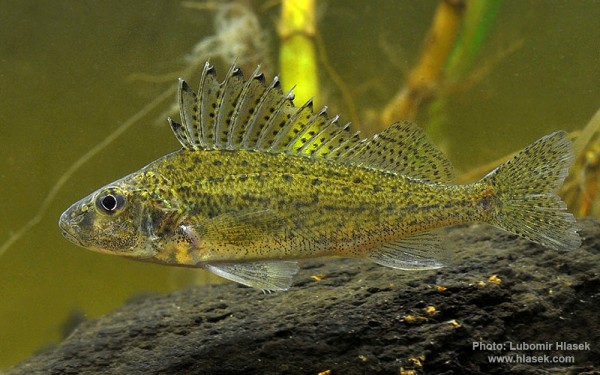
Perciformes - Perches
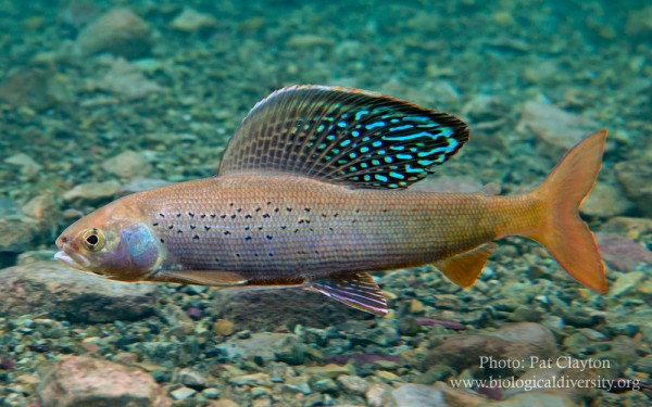
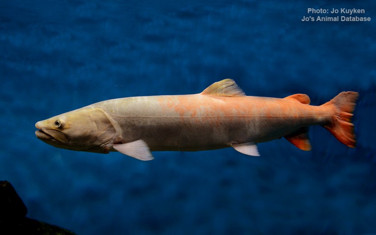
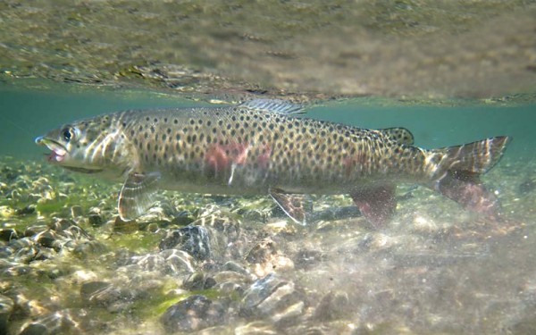
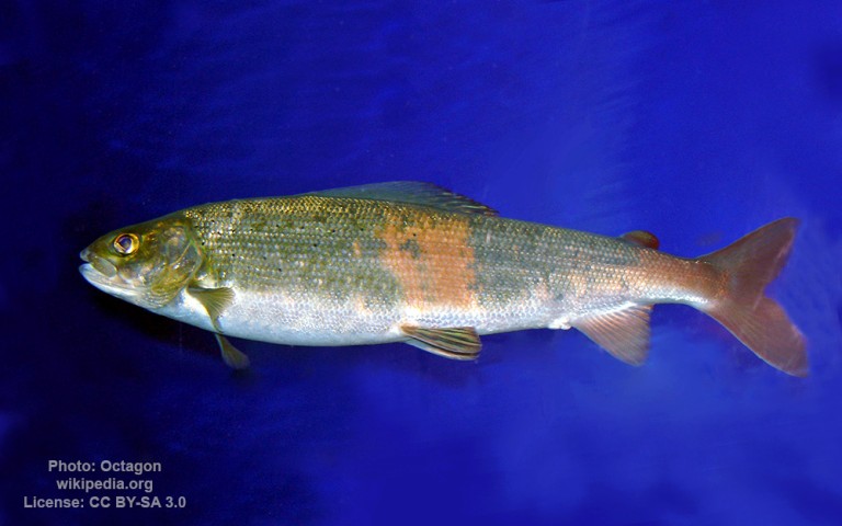
Salmoniformes - Salmons and Trouts
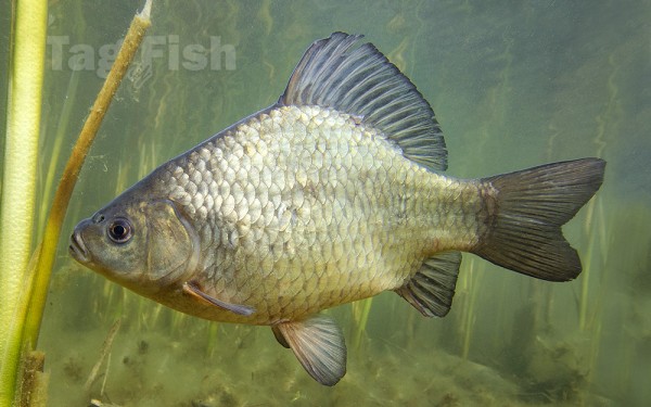
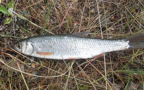
Cypriniformes - Carps
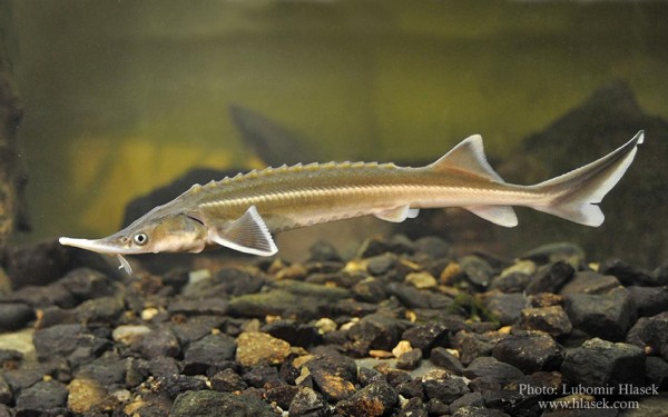
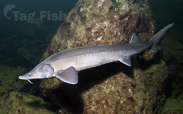
Acipenseriformes - Sturgeons and Paddlefish
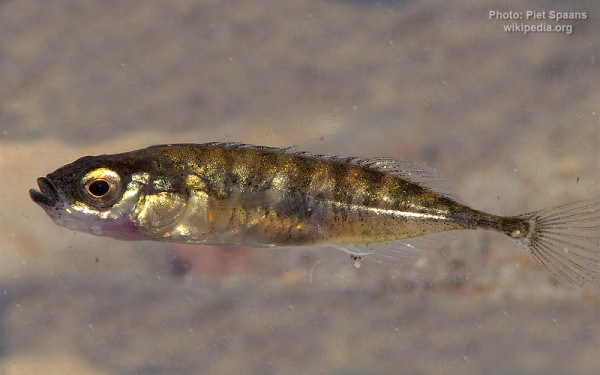
Gasterosteiformes - Sticklebacks
Perciformes - Perches
Salmoniformes - Salmons and Trouts
Cypriniformes - Carps
Acipenseriformes - Sturgeons and Paddlefish
Gasterosteiformes - Sticklebacks
Perciformes - Perches
Salmoniformes - Salmons and Trouts
Cypriniformes - Carps
Acipenseriformes - Sturgeons and Paddlefish
Gasterosteiformes - Sticklebacks
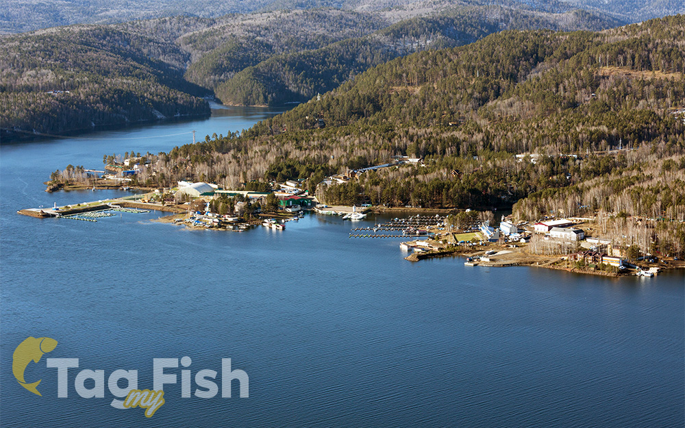
Krasnoyarsk Reservoir, known also as the Krasnoyarsk Sea, is an artificial lake which was created by the construction of the Krasnoyarsk Dam. It is one of the largest artificial reservoirs in the world. In Russia, it now ranks second (after the Bratsk Reservoir).
The top point of the reservoir is located near the town of Abakan, at the confluence of the Yenisei river Abakan. Lower spot – Krasnoyarsk hydroelectric power station dam. The distance from the top point to the Krasnoyarsk hydroelectric power station on the line – about 250 kilometers, but the total length of the reservoir is much more – 388 kilometers. Width at widest points is 15 kilometers. Height of the water’s edge – 243 meters above sea level.
Major rivers are, the right bank: Tuba, Sisim, Syda, on the left: Biryusa. At the confluence of the rivers flow directly into the previously Yenisei, creating reservoirs formed bays. The most significant of them – Tubin, Syda, Karasug, Sisim, Durbin, Biryusinsk.
The largest settlements located on the shore of the reservoir are regional centers Abakan, Krasnoturansk (located on the Bay Syda) and Novoselovo. Bridges over the reservoir absent nearest bridge across the Yenisei located a few kilometers above and below the reservoir. However, through the reservoir ferry connections, particularly from the villages and Novoselovo Bellyk. Until the early 1990s, there was a passenger-carrying hydrofoil in the reservoir.
When creating the reservoir, the location of one of the first Russian settlements in Siberia was flooded. It had been populated by Khakassky tribes – Abakan fort (near modern Krasnoturansk).

