The Menindee Lakes is a system of 9 large, but relatively shallow lakes, located in south-west New South Wales on the Darling (Barka) River, about 200 kilometres upstream of the Darling Rivers junction with the Murray River. The Darling River is fed by nine major tributary river systems flowing from south-east Queensland and north and central NSW. The town of Menindee is close to the lakes and Sunset Strip township is on the northern shore of Lake Menindee. The nearest city is Broken Hill.
There are 4 main lakes in the system:
Lake Wetherell
Lake Pamamaroo
Lake Menindee (the largest lake, also known as Lake Minandichi[5])
Lake Cawndilla.
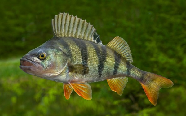
The lakes rely on replenishment, when water flows over the banks of the Darling (Barka) River. The NSW Government modified the lakes (completed 1968) to improve their storage capacity for farming, recreation, mining and urban water supply and to help manage floods in the Darling River. In the 1960s, governments decided to use some of the lakes as water storages, building a large weir (Main Weir) to divert water into lakes Pamamaroo, Tandure and Bijijie. Levees, block dams and channels were built to regulate the flow of water in the system. There is relatively little information on the flooding regimes of the lakes before they were regulated (dammed) in the 1960s but they were undoubtedly highly productive and important wetland systems where many fish were spawned.