Middle Branch Reservoir
Water type: Artificial lake
Basin: Middle Branch Croton River -> Croton Falls Reservoir -> West Branch Croton River -> Muscoot Reservoir -> Croton River -> Hudson River -> Upper New York Bay -> Lower New York Bay -> Atlantic Ocean -> Planet Earth
Continent:
North America
Climate:
Temperate
Country:
United States of America (USA)
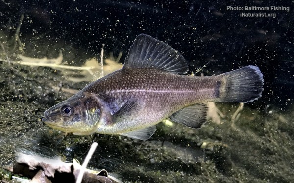
Perciformes - Perches
Salmoniformes - Salmons and Trouts
Esociformes - Pikes
Siluriformes - Catfishes
Centrarchiformes - Basses and sunfishes
Cypriniformes - Carps
Acipenseriformes - Sturgeons and Paddlefish
Moroniformes - Temperate basses
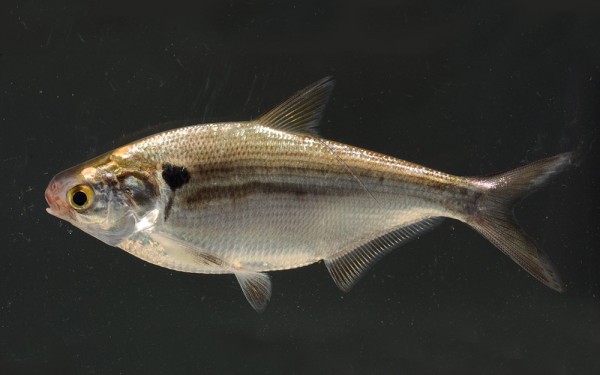
Clupeiformes - Herrings
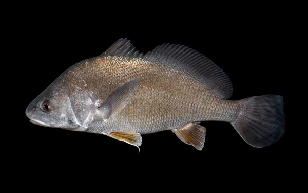
Acanthuriformes - Surgeonfishes
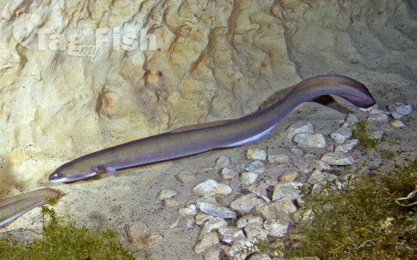
Anguilliformes - Eels and morays
Percopsiformes - Trout-perches
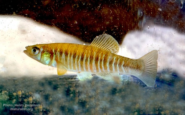
Cyprinodontiformes - Toothcarps
Middle Branch Reservoir is a reservoir in the New York City water supply system located in the Town of Southeast in Putnam County, 65 km north of the city. Created in 1878 by damming the Middle Branch of the Croton River, it is one of twelve in the Croton Watershed.
Middle Branch covers 1.6 km2, with an average depth of 9.4 m, although some areas in the reservoirs southern extent reach 15 m. It drains an area of 55 km2 reaching into Dutchess County. At full capacity, it holds 6.4 million m3.
