Richard B. Russell Lake
Perciformes - Perches
Salmoniformes - Salmons and Trouts
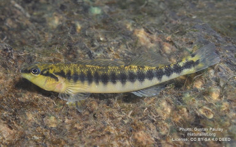
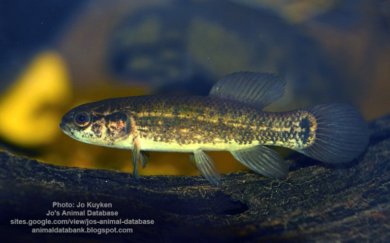
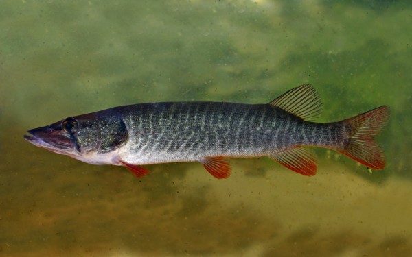
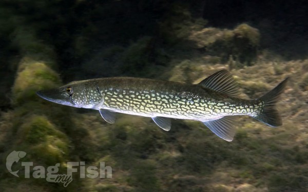
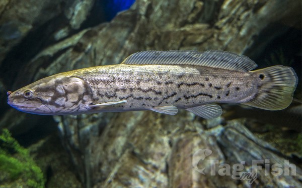
Esociformes - Pikes
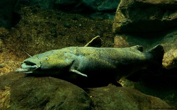
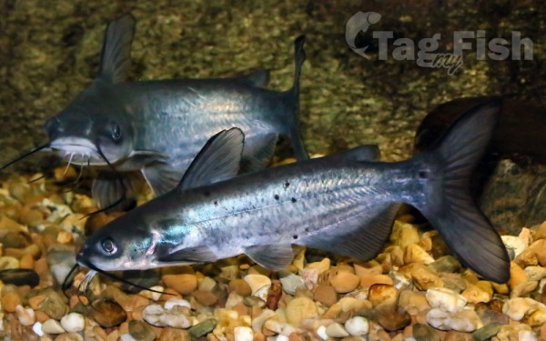
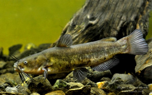
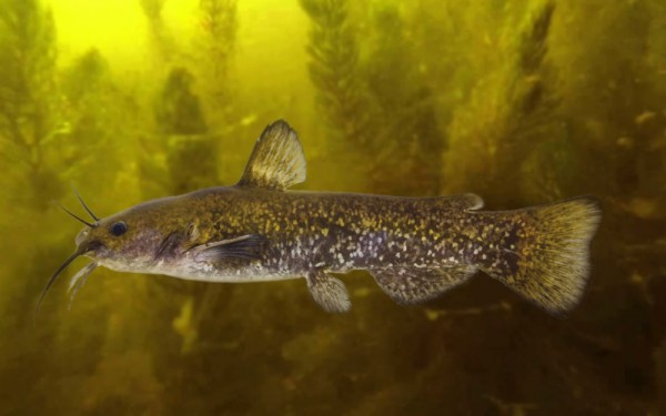
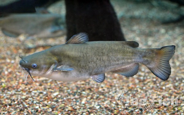
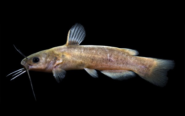
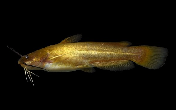
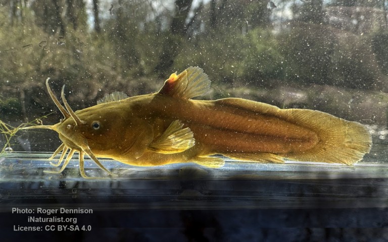
Siluriformes - Catfishes
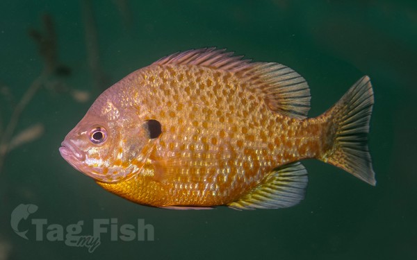
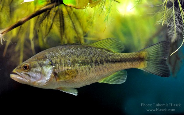
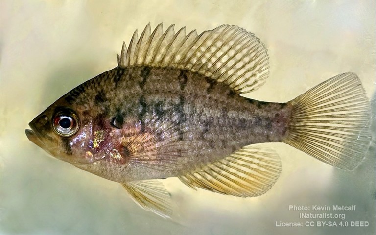
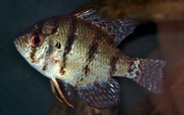
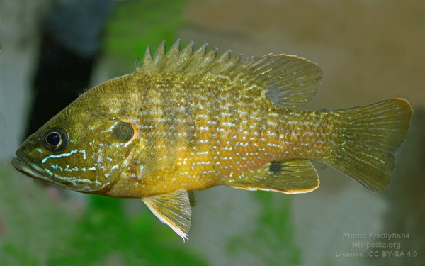
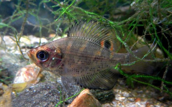
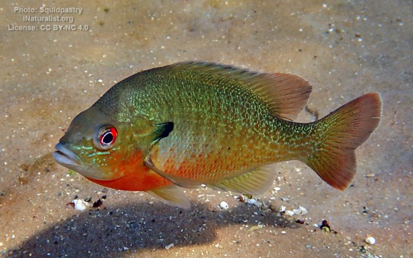
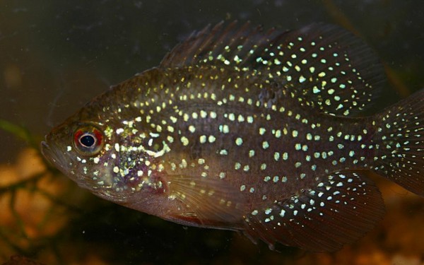
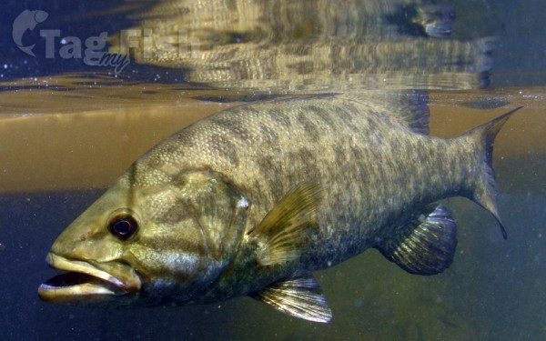
Centrarchiformes - Basses and sunfishes
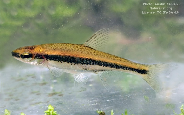
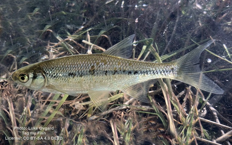
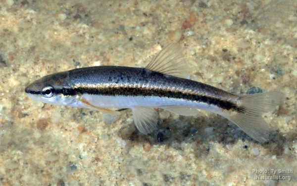
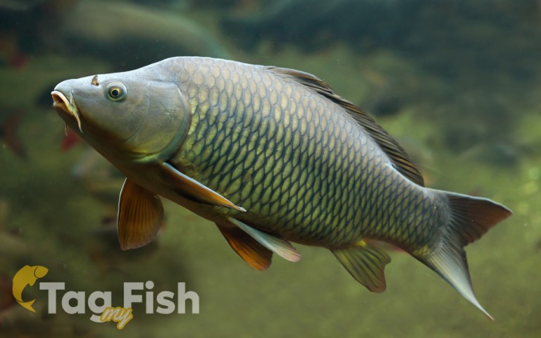
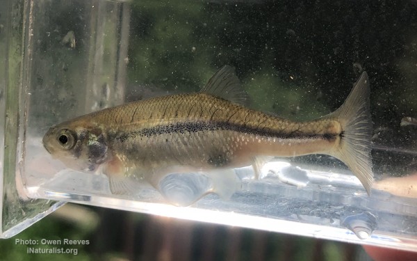
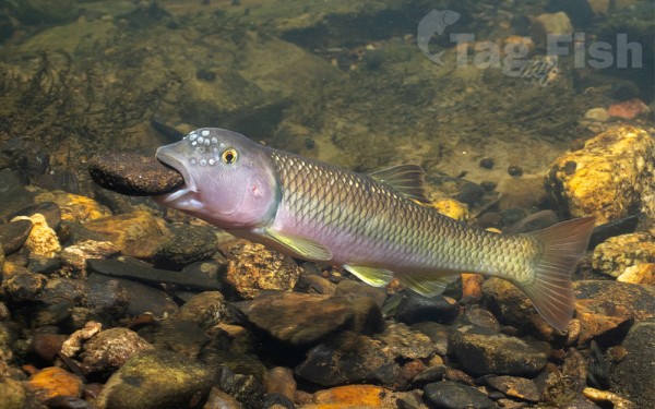
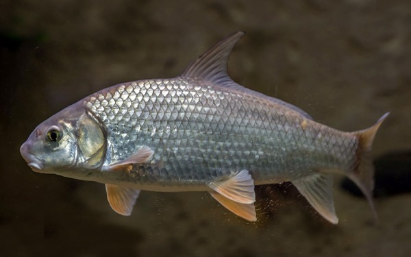
Cypriniformes - Carps
Amiiformes - Bowfins
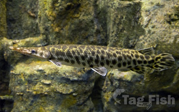
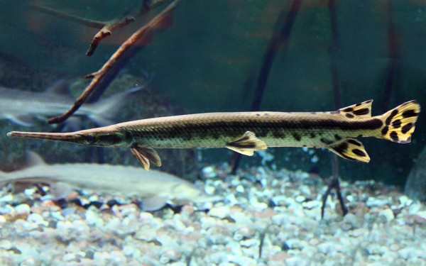
Lepisosteiformes - Gars
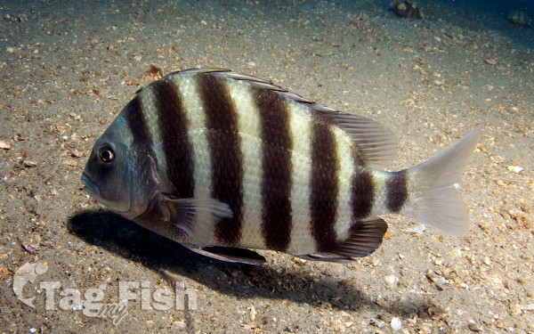
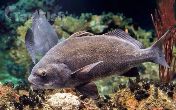
Spariformes - Breams and porgies
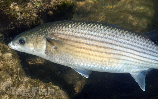
Mugiliformes - Mullets
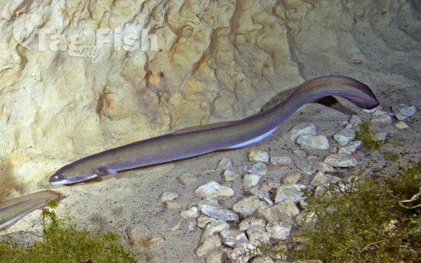
Anguilliformes - Eels and morays
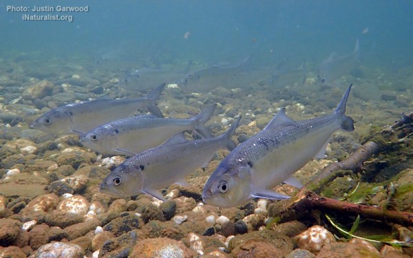
Clupeiformes - Herrings
Acanthuriformes - Surgeonfishes
Moroniformes - Temperate basses
Percopsiformes - Trout-perches
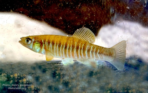
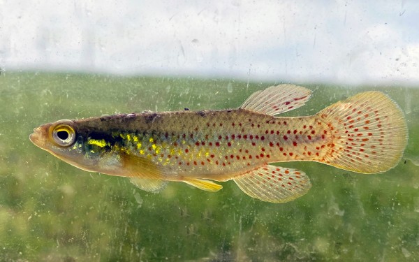
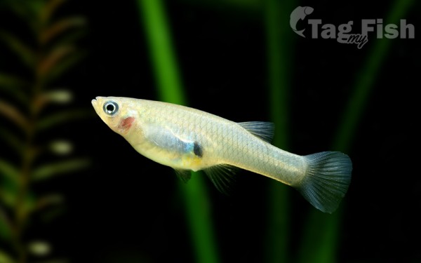
Cyprinodontiformes - Toothcarps
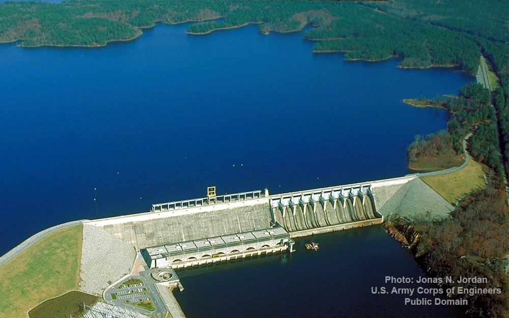
Richard B. Russell Lake (known to locals as simply Lake Russell) is a reservoir created by the U.S. Army Corps of Engineers by construction of Richard B. Russell Dam on the Savannah River bordering Elbert County, Georgia and Abbeville and Anderson counties in South Carolina.
The lake impounds primarily the Savannah River but also includes Beaverdam Creek on the Georgia side and Rocky River on the South Carolina side.
Filling of the lake began in October 1983, and was completed in December 1984 for a full pool elevation of 475 feet (145 m). Lake levels do not change much because the lake is designed to operate within 5 feet (1.5 m) of full pool compared to Hartwell and Thurmond, whose 35 feet (11 m) and 18 feet (5.5 m) of conservation storage respectively causes their levels to change more dramatically. This causes the lake to always look full.
Since it was constructed after 1974, the Corps of Engineers prohibits exclusive private use of the lakes shoreline. As a result, the shoreline of the lake is almost completely undeveloped with the exception of some state parks and day-use areas. The Corps owns a 300-foot (91 m) buffer zone all the way around the 540 miles (870 km) of shoreline to mitigate the loss of habitat due to the creation of the lake. The natural shoreline creates a strikingly different feel and look to the lake when compared to Thurmond and Hartwell which have highly developed shorelines.

