Richland-Chambers Reservoir
Water type: Artificial lake
Basin: Richland Creek (Texas) -> Trinity (Texas) -> Trinity Bay (Texas) -> Gulf of Mexico -> Atlantic Ocean -> Planet Earth
Continent:
North America
Climate:
Subtropical
Country:
United States of America
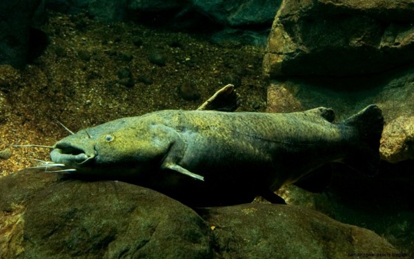
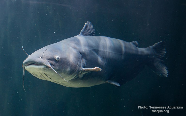
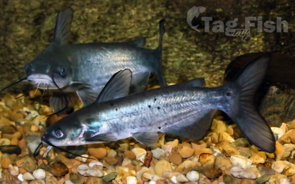
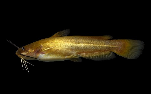
Siluriformes - Catfishes
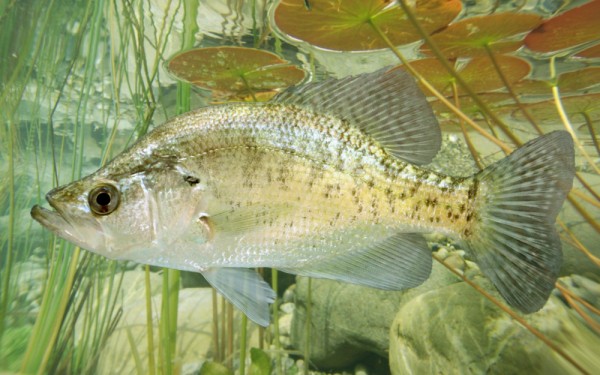
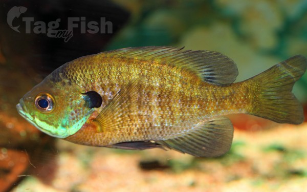
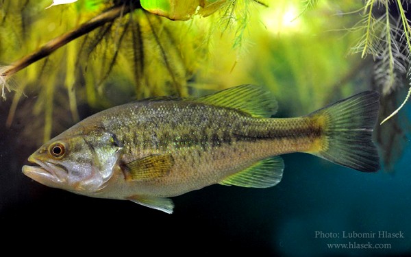
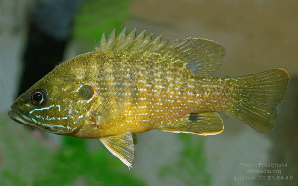
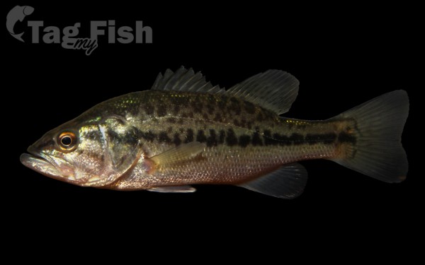
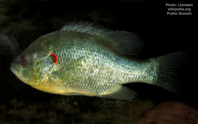
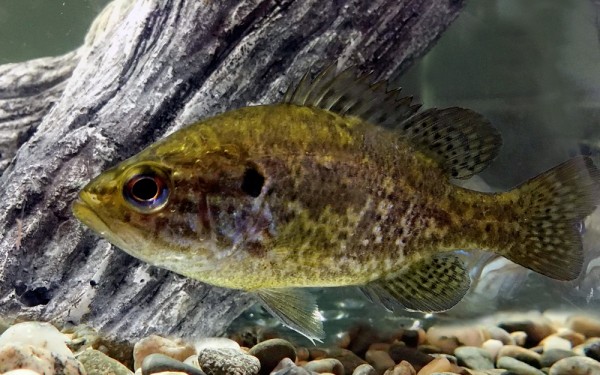
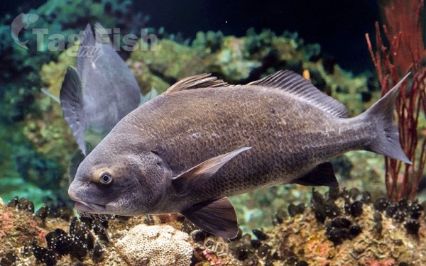
Centrarchiformes - Basses and sunfishes
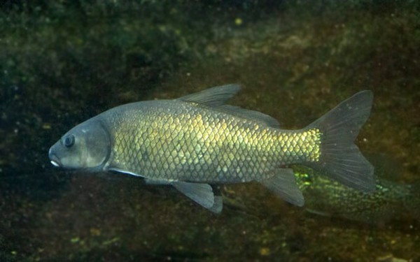
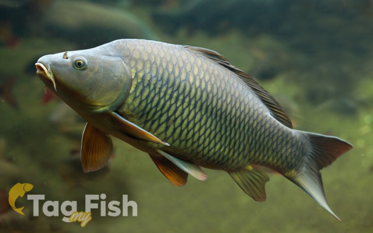
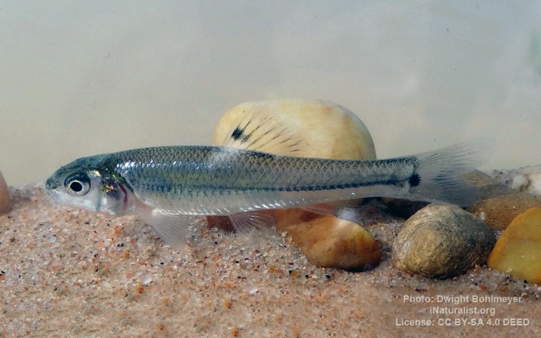
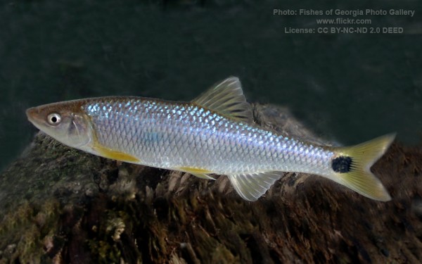
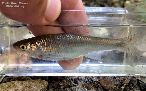
Cypriniformes - Carps
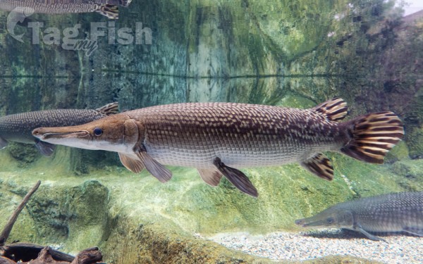
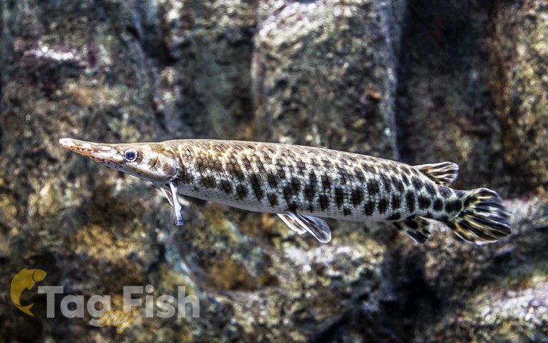
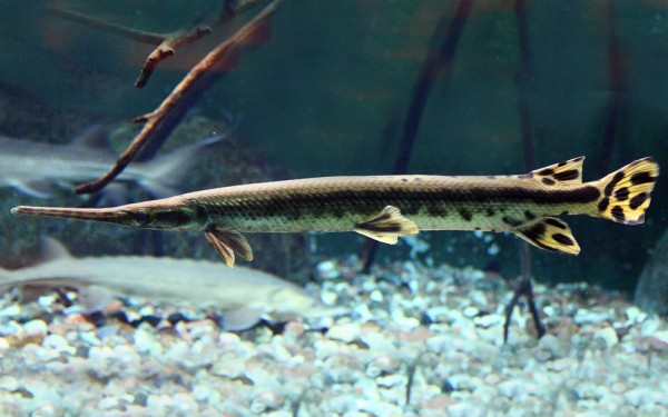
Lepisosteiformes - Gars
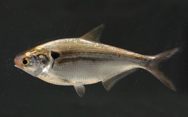
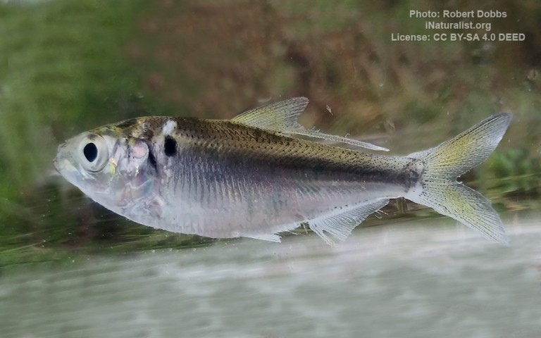
Clupeiformes - Herrings
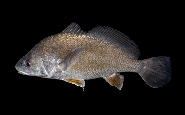
Acanthuriformes - Surgeonfishes
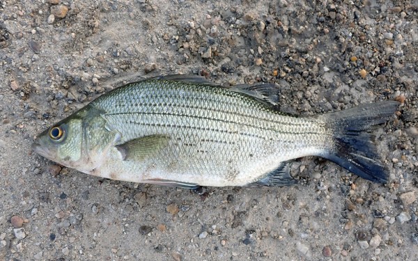
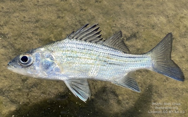
Moroniformes - Temperate basses
Siluriformes - Catfishes
Centrarchiformes - Basses and sunfishes
Cypriniformes - Carps
Lepisosteiformes - Gars
Clupeiformes - Herrings
Acanthuriformes - Surgeonfishes
Moroniformes - Temperate basses
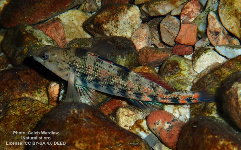
Perciformes - Perches
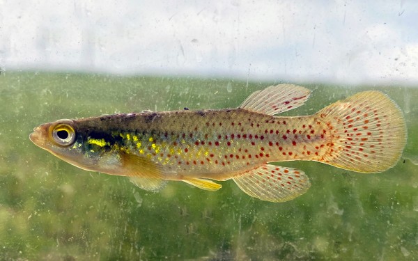
Cyprinodontiformes - Toothcarps
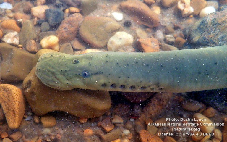
Petromyzontiformes - Lampreys
Siluriformes - Catfishes
Centrarchiformes - Basses and sunfishes
Cypriniformes - Carps
Lepisosteiformes - Gars
Clupeiformes - Herrings
Acanthuriformes - Surgeonfishes
Moroniformes - Temperate basses
Perciformes - Perches
Cyprinodontiformes - Toothcarps
Petromyzontiformes - Lampreys
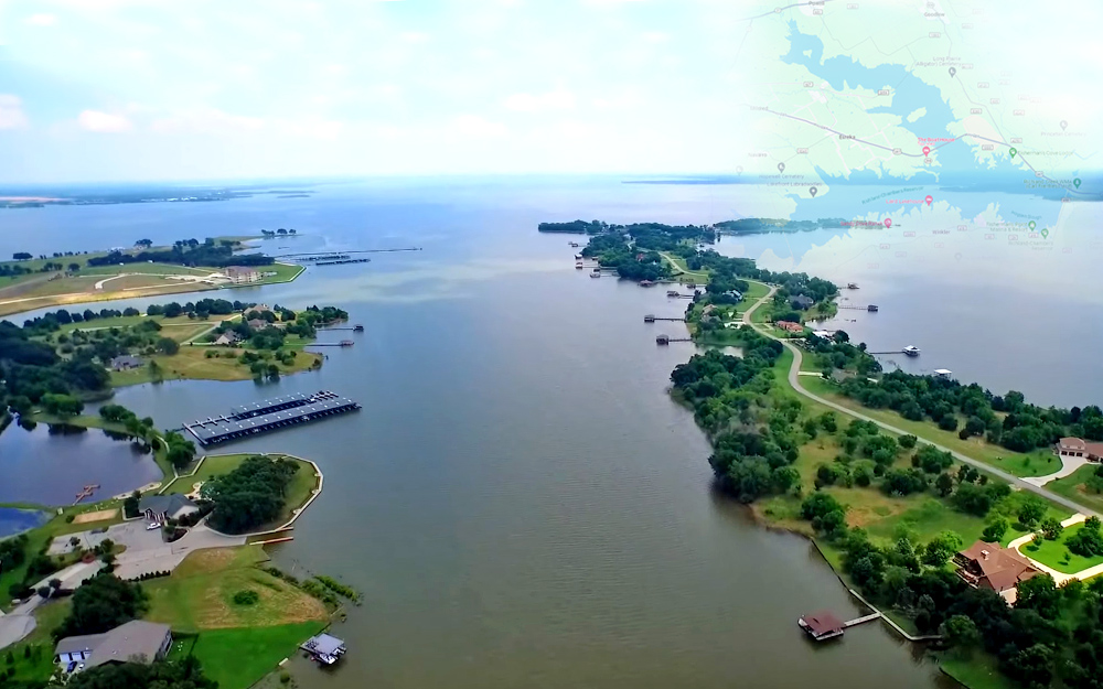
Richland-Chambers Reservoir is the third largest inland reservoir by surface area and the 8th largest reservoir by water volume in Texas formed by the impoundment of Richland Creek and Chambers Creek east-southeast of the town of Corsicana and south of Kerens, in Navarro County and Freestone County, Texas, USA.
It has 330 miles (530 km) of shoreline and is Y shaped with the dam on the eastern end of the lake.
