Largest tributaries

Princess Charlotte Bay is a large bay on the east coast of Far North Queensland at the base of Cape York Peninsula, 350 km north northwest of Cairns. Princess Charlotte Bay is a part of the Great Barrier Reef Marine Park and it is a habitat for the dugong.
Reefs in the bay are described as pristine. Barramundi habitat and associated wetlands exist in declared green zones which restrict commercial fishing.
The most easterly point of the bay is Cape Melville. Also in this area is Flinders Island, part of the Flinders Group. The bay\’s most westerly point is Claremont Point.
Normanby, Bizant, North Kennedy, Marrett and Morehead rivers terminate in the bay. Marine fossils and old beach ridges have been discovered well inland along the river systems. This indicates the bay has been experiencing a gradual infilling.
During spring tides salt water inundates low areas for several kilometres inland. Mixed mangrove forests predominate in tidal areas. The adjacent wetlands are one of the largest in Australia. Extensive areas of seagrass beds exist on the bays seafloor. There are also large areas of tidal flats covered in sand and mud.
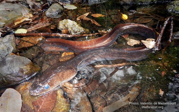
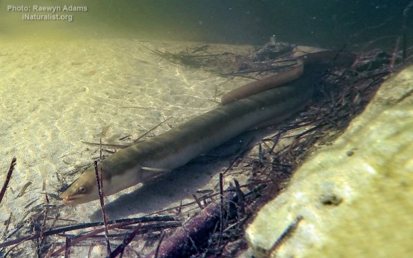
The Bizant river shark is a rare species of fresh or brackish water shark. More common marine species found in the bay include barramundi, blue salmon, grey mackerel, queenfish, grunter, mangrove jack, tiger prawn and mud crab.