Smalandfarvandet
Largest tributaries
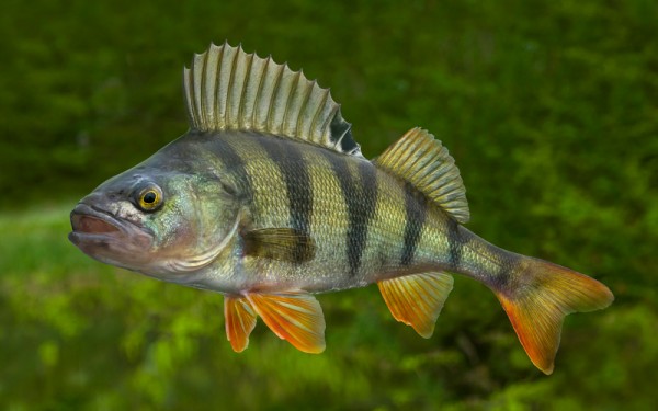
Perciformes - Perches
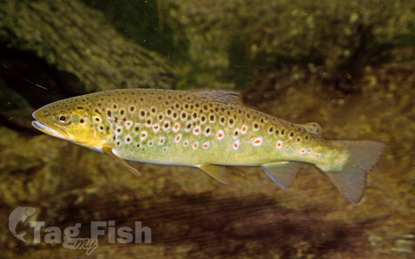
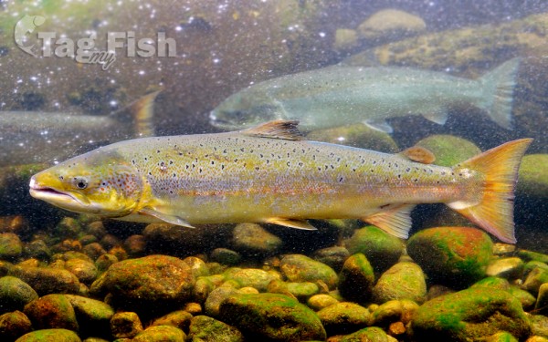
Salmoniformes - Salmons and Trouts
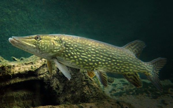
Esociformes - Pikes
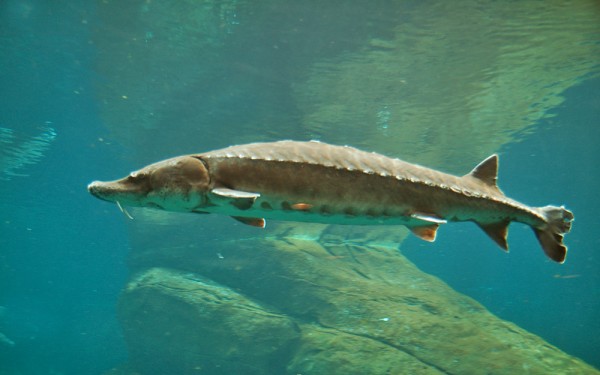
Acipenseriformes - Sturgeons and Paddlefish
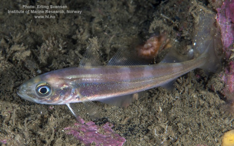
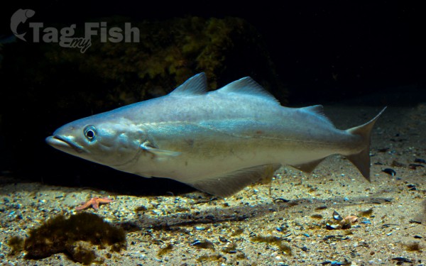
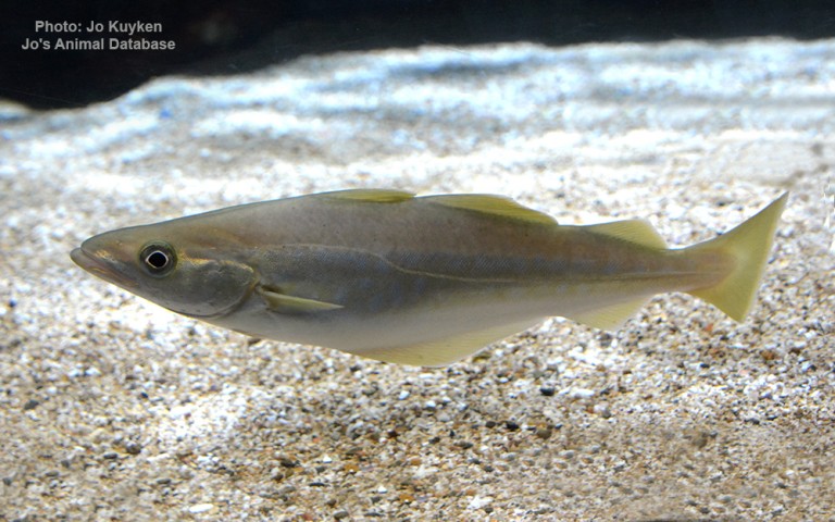
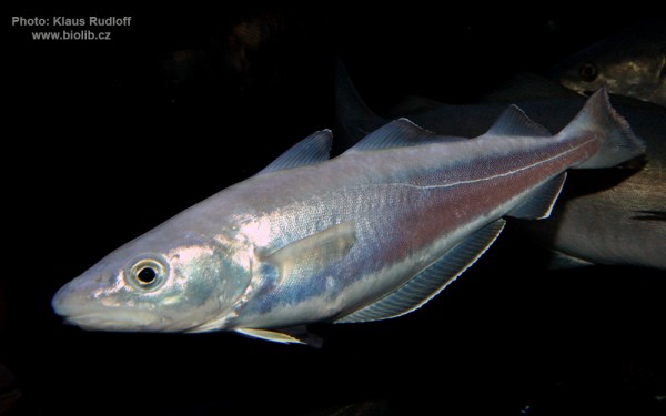
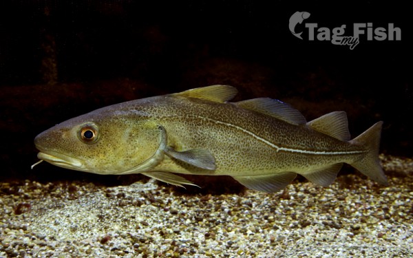
Gadiformes - Cods
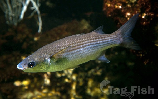
Mugiliformes - Mullets
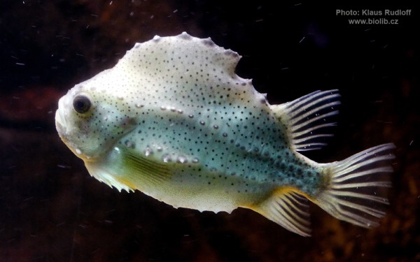
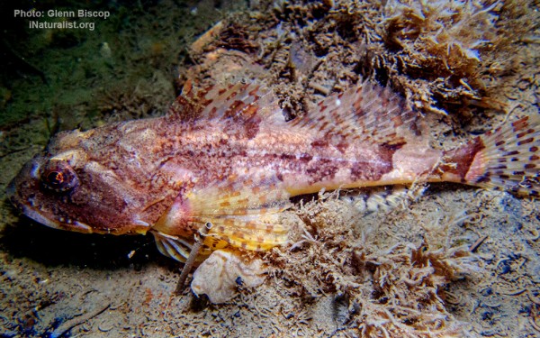
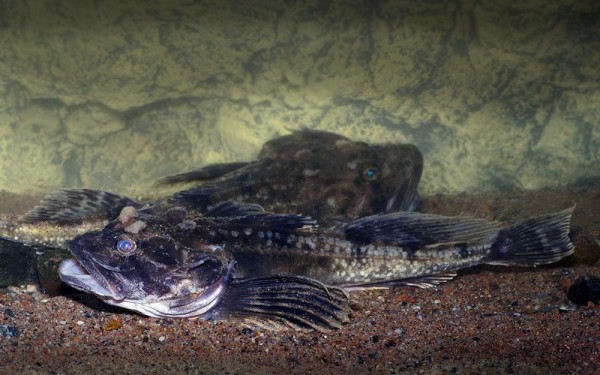
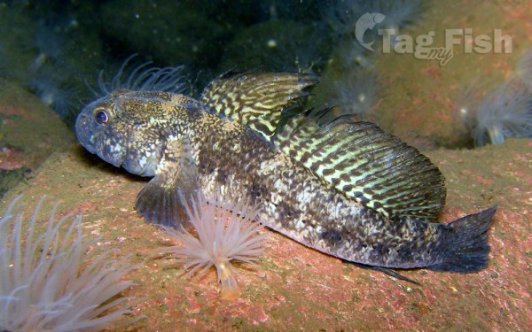
Scorpaeniformes - Mail-cheeked fishes
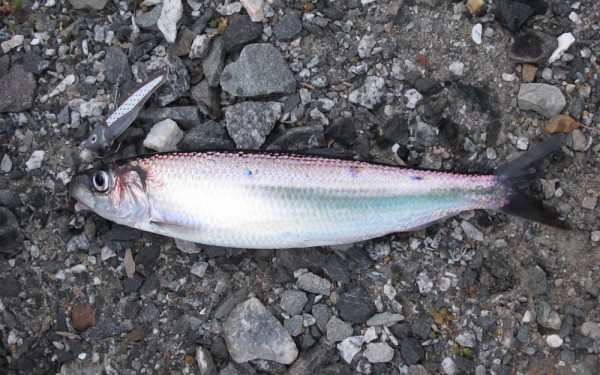
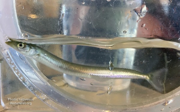
Clupeiformes - Herrings
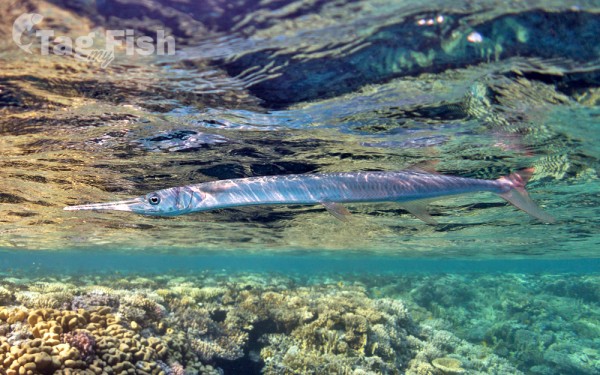
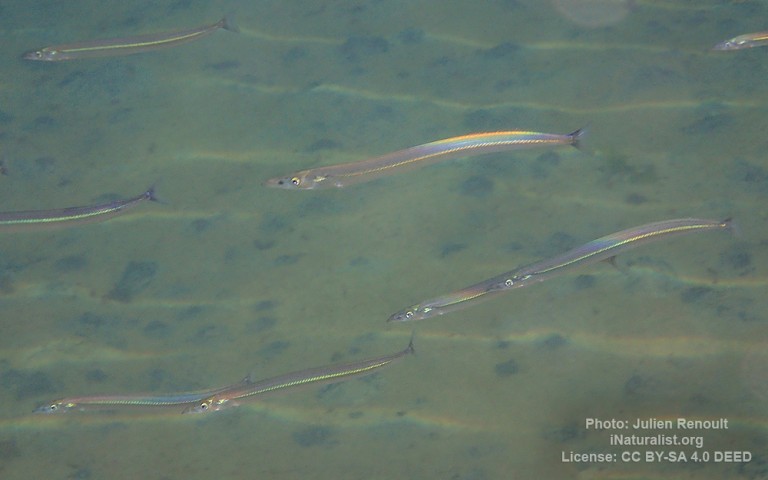
Beloniformes - Needlefishes
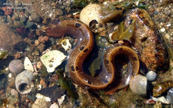
Trachiniformes - Weeverfishes
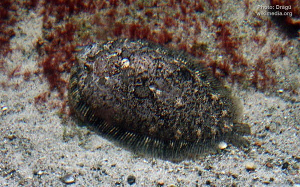
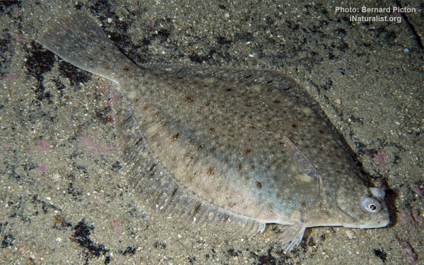
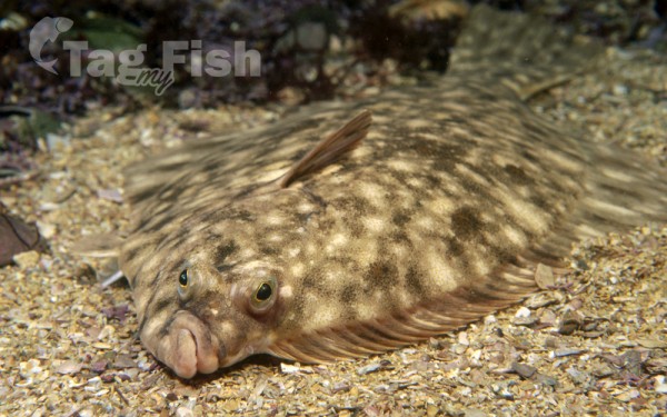
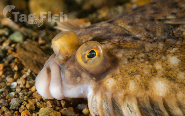
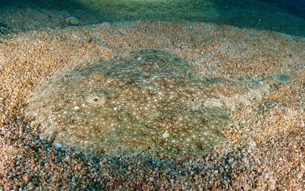
Pleuronectiformes - Flatfishes
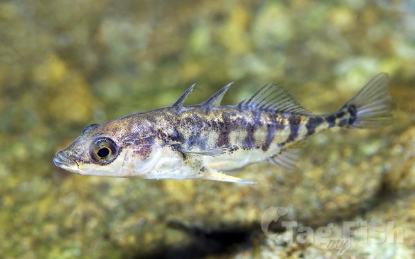
Gasterosteiformes - Sticklebacks
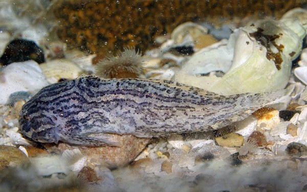
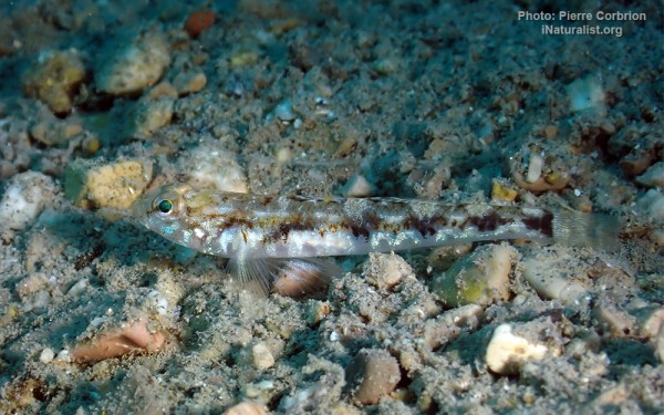
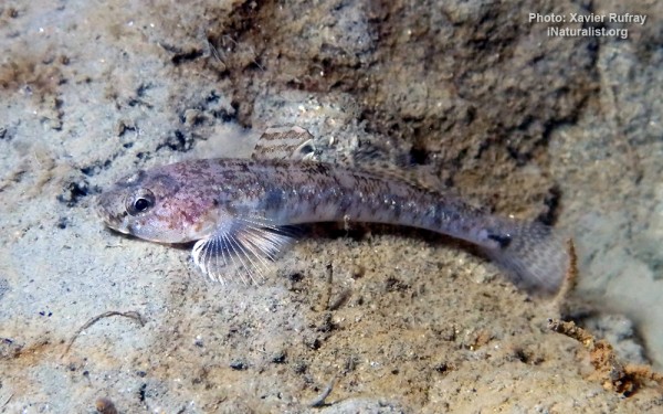
Gobiiformes - Gobies
Lophiiformes - Anglerfishes
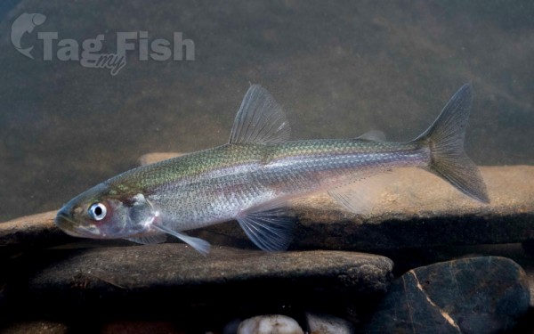
Osmeriformes - Smelts
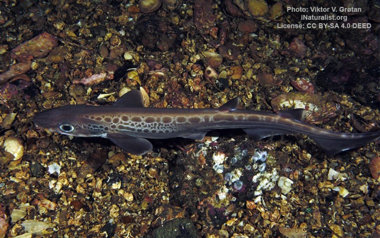
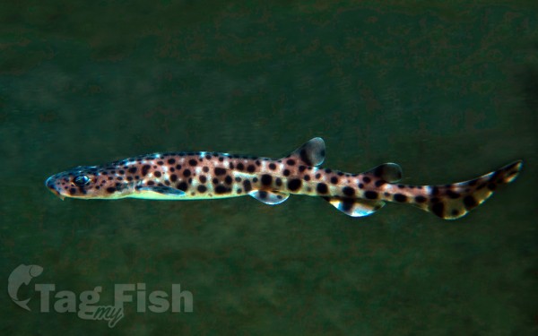
Carcharhiniformes - Ground sharks
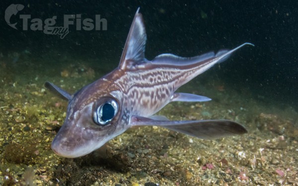
Chimaeriformes - Chimaeras
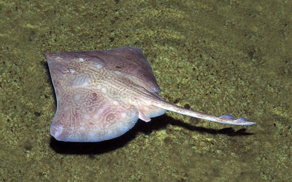
Rajiformes - Skates and rays
Smålandsfarvandet (also Smålandshavet ) is a Danish strait and bay. It is centrally located in the southern Danish archipelago, between Zealand , Lolland , Falster and Møn . It connects the Great Belt with the Baltic Sea .
At the surface, the wide and open bay – including Karrebæksminde Bugt – is 908 km² in size. In the southern part of the bay is the 249 km² Sakskøbing Fjord. The average water depth is 10 meters, and near Venegrunde and Kirkegrund the average depth is 6 meters.
About 335,000 people live in the area around the Smålandsfarvandet, of which about 255,000 live in urban areas. The catchment area for the watercourses that flow into the Småland Sea is approximately 3,445 square kilometers, and this includes most of Lolland and Falster, the southern part of Zealand and a corner of Møn. These waterways have a combined length of approximately 1,348 kilometers, and here there are 60 lakes that are more than 5 hectares in size. The coast around Smålandsfarvandet includes 18 coastal sections and 46 different groundwater sources.

