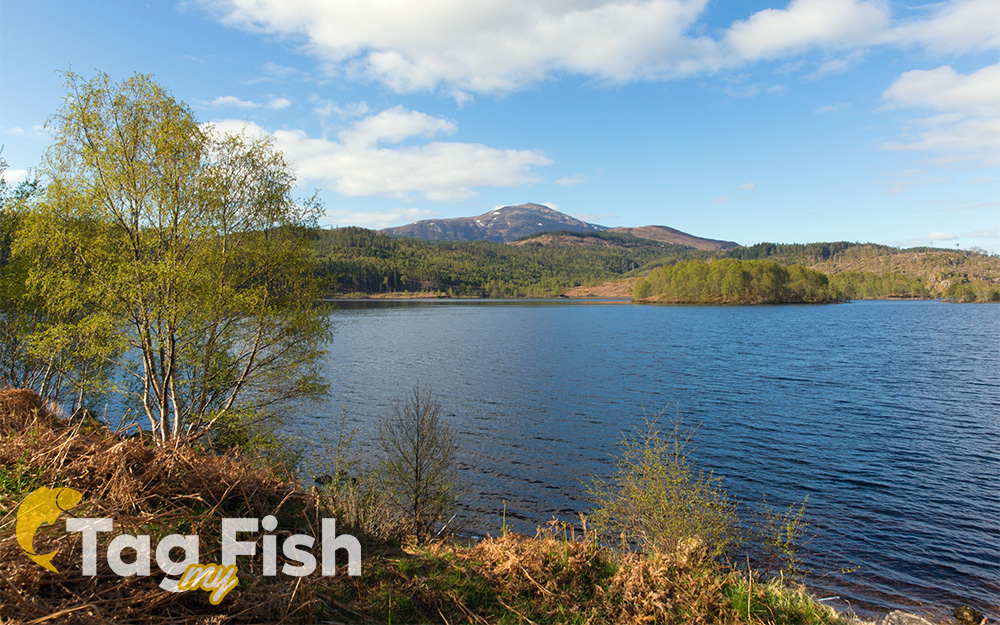
Loch Garry is a freshwater loch 25 km north of Fort William, Lochaber, Scotland.
Loch Garry is 11 km long and 50 m deep.
It is fed by waters from Loch Quoich 10 km upstream on the River Garry, and drains into Loch Oich in the Great Glen just 5 km downstream.
Loch Garry is much photographed from the A87 for its romantic setting and also because a quirk of perspective makes it appear like a map of Scotland.
Both lochs have been dammed for the production of hydroelectricity, the dam on Loch Quoich being the largest rockfill dam in Scotland at 320 m long and 38 m high. Water is fed by tunnel to the two power stations each producing 20MW, and the scheme was completed in 1962.