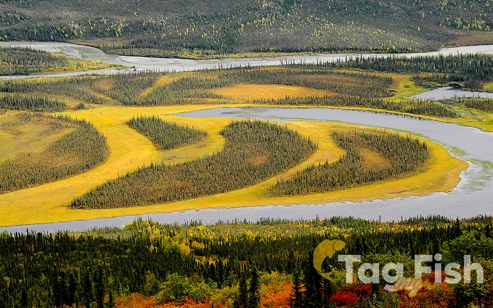
Alatna River

General data
- Name: Alatna River
- Water system: Yukon
- Water type: River
- Progression: Koyukuk -> Yukon -> Bering Sea -> Pacific Ocean -> Planet Earth
- Climates: Subpolar
- Continents: North America
- Countries: United States of America
The Alatna River is a federally designated wild and scenic river partially contained within the boundaries of Gates of the Arctic National Park, Alaska. The Alatna River stems from the central Brooks Range flowing through the Endicott Mountains, passing Circle Lake, the Arrigetch Peaks and Takahula Lake before entering the Helpmejack Hills. The last section of the river continues to flow in a SSE direction through the Alatna Hills into its confluence with the Koyukuk River near the small village of Allakaket. The first 25 miles (40 km) of the Alatna are shallow and rocky, followed by 15 miles (24 km) of a continued shallow area with more rapids. The river then mellows out near Takahula and Circle Lake becoming deeper and more meandering while the scenery turns from mountain peaks into hilly boreal forest. According to The Alaska River Guide, this river is 184 miles (296 km) long from the headwaters to Allakaket and 137 miles (220 km) from Circle Lake to Allakaket.

 English
 Spanish
 German
 French
 Serbian
 Russian

