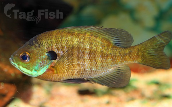
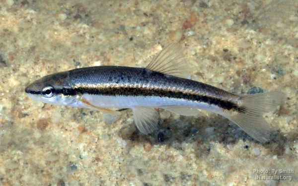
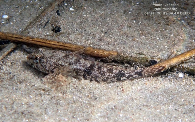
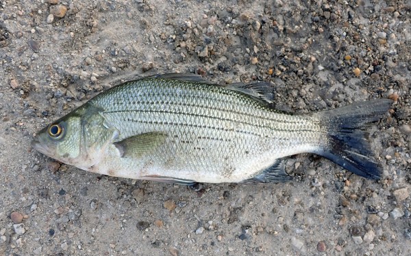
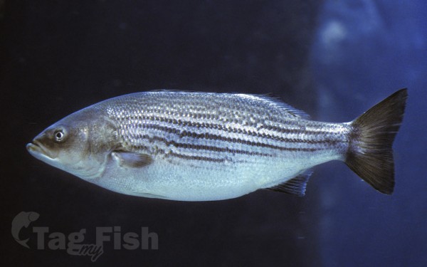
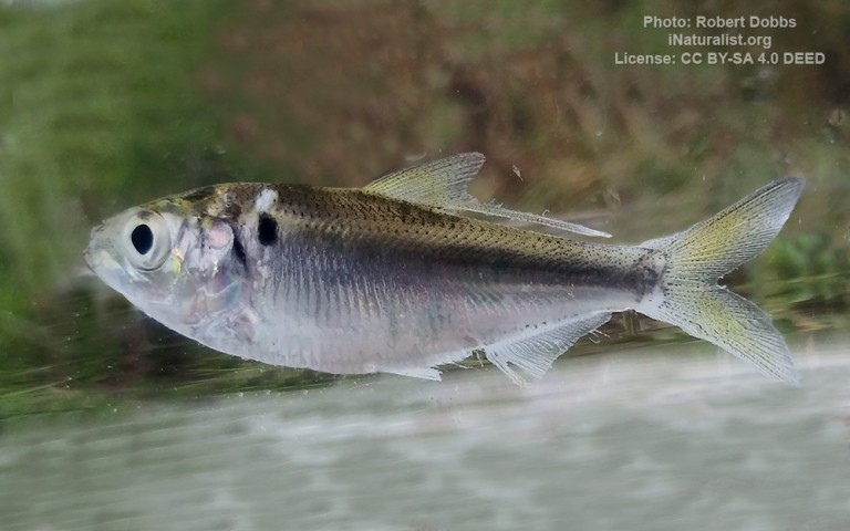
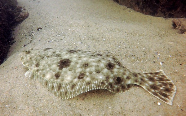
Artificial lakes


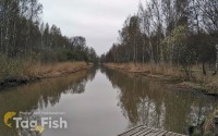
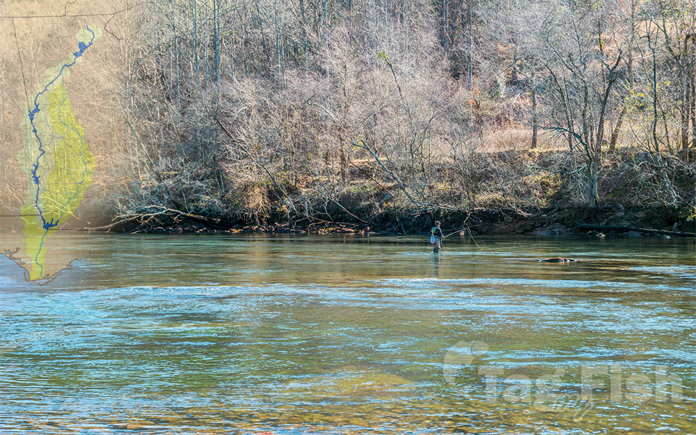
The Chattahoochee River forms the southern half of the Alabama and Georgia border, as well as a portion of the Florida and Georgia border.
It is a tributary of the Apalachicola River, a relatively short river formed by the confluence of the Chattahoochee and Flint rivers and emptying from Florida into Apalachicola Bay in the Gulf of Mexico.
The Chattahoochee River is about 430 miles (690 km) long.
The Chattahoochee, Flint, and Apalachicola rivers together make up the Apalachicola–Chattahoochee–Flint River Basin (ACF River Basin).
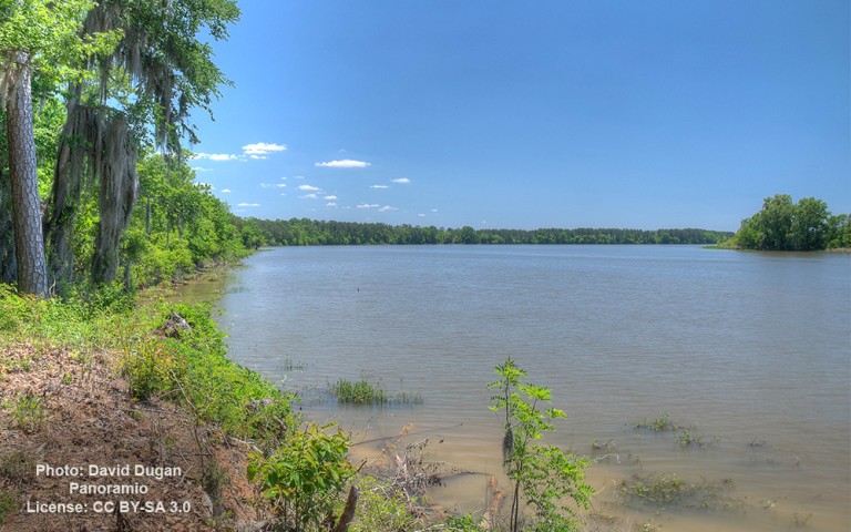
Several large manmade reservoirs, including Lanier, Lake Eufaula, West Point, and George W. Andrews, lakes are controlled by the United States Army Corps of Engineers. The dams and reservoirs were developed following legislation by Congress of the mid-1940s for flood control, domestic and industrial water, hydroelectricity, recreation, and improved navigation for river barges. Most of the lakes were completed by 1963. Numerous historic and prehistoric sites were covered over by the lakes during the flooding of the reservoirs, including Oketeyconne, Georgia.
The Georgia Power Company also owns a small series of dams along the middle portion of the river (the Columbus area) between West Point Lake and Lake Walter F. George. Several smaller and older lakes and dams also provide these services on a much smaller and more localized scale, including Bull Sluice Lake, which is held by the Morgan Falls Dam. This dam was built by the Georgia Railway and Power Company in 1902 to provide electric power for the Atlanta trolley system, which has long since been replaced by other forms of transportation.