Condamine River
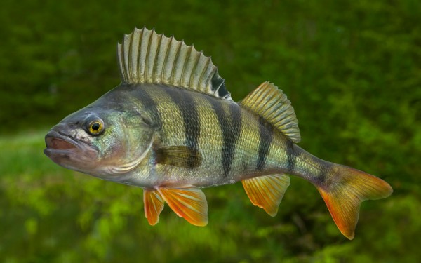
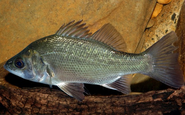
Perciformes - Perches
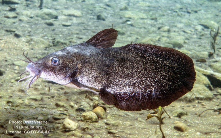
Siluriformes - Catfishes
Centrarchiformes - Basses and sunfishes
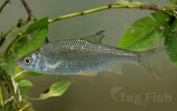
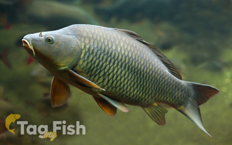
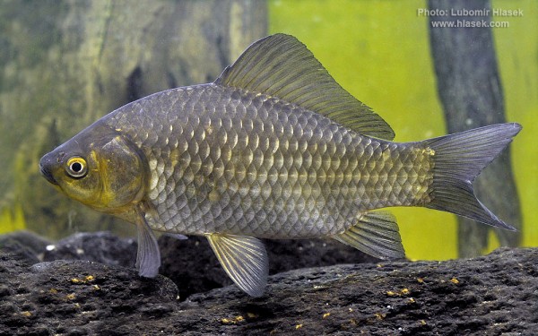
Cypriniformes - Carps
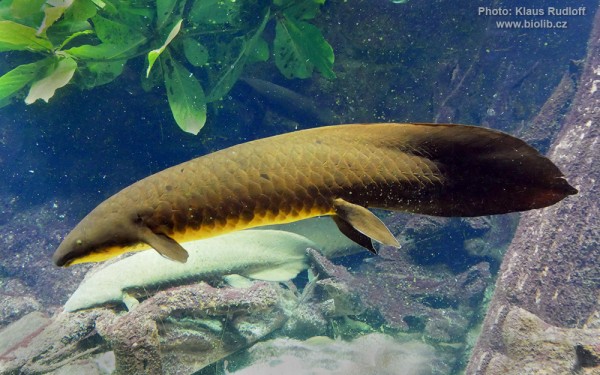
Ceratodontiformes - Lungfishes
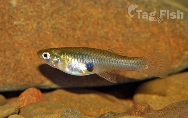
Cyprinodontiformes - Toothcarps
Perciformes - Perches
Siluriformes - Catfishes
Centrarchiformes - Basses and sunfishes
Cypriniformes - Carps
Ceratodontiformes - Lungfishes
Cyprinodontiformes - Toothcarps
The Condamine River, part of the Balonne catchment that is part of the Murray-Darling Basin, drains the northern portion of the Darling Downs, an area of sub-coastal southern Queensland, Australia. The river is approximately 500 kilometres long and rises on Mount Superbus, South East Queenslands highest peak, on the western slopes of the Great Dividing Range, approximately 100 kilometres from the east coast of Queensland, and then flows north west across the Darling Downs, then west. The Condamine River is a tributary of the Darling River.
The headwaters of the river rise on the slopes of Mount Superbus, part of the Main Range, before passing through Cambanoora Gorge. The river flows through the towns of Killarney, Warwick, and Chinchilla and the tributary Gowrie Creek drains the slopes around Toowoomba. At the junction with Dogwood Creek, south of Yuleba, the Condamine turns to the south-west and becomes known as the Balonne River. The Condamine descends 516 metres over its 657-kilometre course, with a catchment area of 13,292 square kilometres. The water basin contains more than 1,800 wetlands.
