Cossatot River
Water type: River
Basin: Little River (Red River tributary) -> Red River of the South -> Atchafalaya -> Gulf of Mexico -> Atlantic Ocean -> Planet Earth
Continent:
North America
Climate:
Temperate
Country:
United States of America (USA)
Siluriformes - Catfishes
Centrarchiformes - Basses and sunfishes
Cypriniformes - Carps
Acipenseriformes - Sturgeons and Paddlefish
Lepisosteiformes - Gars
Amiiformes - Bowfins
Clupeiformes - Herrings
Moroniformes - Temperate basses
Acanthuriformes - Surgeonfishes
Petromyzontiformes - Lampreys
Siluriformes - Catfishes
Centrarchiformes - Basses and sunfishes
Cypriniformes - Carps
Acipenseriformes - Sturgeons and Paddlefish
Lepisosteiformes - Gars
Amiiformes - Bowfins
Clupeiformes - Herrings
Moroniformes - Temperate basses
Acanthuriformes - Surgeonfishes
Petromyzontiformes - Lampreys
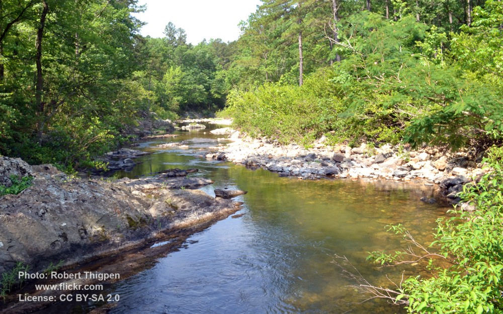
The Cossatot River is an 89-mile-long (143 km) river in Howard, Polk and Sevier counties in the U.S. state of Arkansas.
The Cossatot begins in the Ouachita Mountains southeast of Mena, Arkansas. The river flows through the Ouachita National Forest and then in a generally southerly direction until it empties into Gillham Lake. After exiting Gillham Lake the river becomes leisurely until it joins with the Little River at the site where it empties into Millwood Lake.