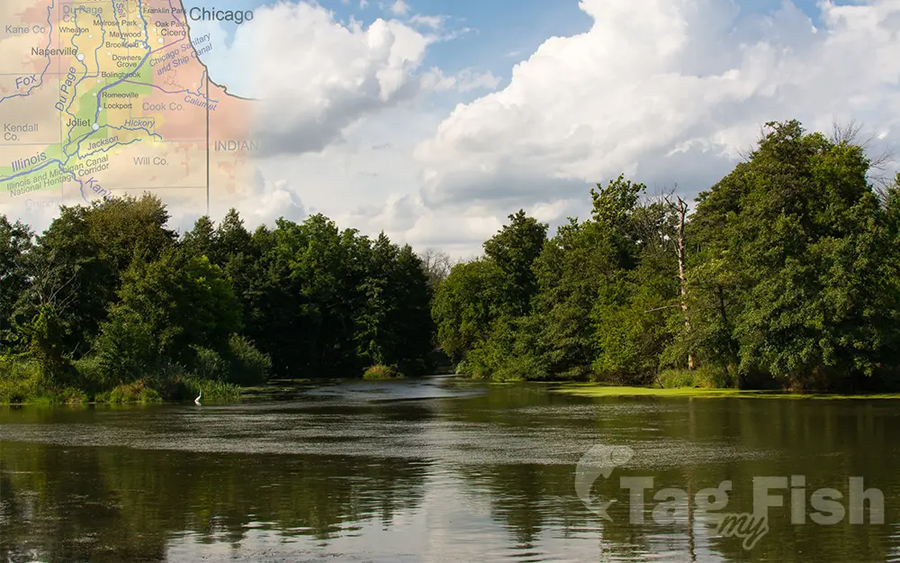
DuPage River

General data
- Name: DuPage River
- Water system: Mississippi River
- Water type: River
- Progression: Des Plaines -> Illinois River (Mississippi tributary) -> Mississippi River -> Gulf of Mexico -> Atlantic Ocean -> Planet Earth
- Climates: Temperate
- Continents: North America
- Countries: United States of America
The DuPage River is a 28.4-mile-long (45.7 km) tributary of the Des Plaines River in the U.S. state of Illinois. The river begins as two individual streams. The West Branch of the DuPage River, 35 miles (56.3 km) long, starts at Campanelli Park in Schaumburg within Cook County and continues southward through the entire county of DuPage, including the towns of Bartlett, Wayne, Wheaton, Warrenville, Winfield and Naperville (including through its riverwalk), as well as McDowell Grove. The East Branch of the DuPage River, 25 miles (40.2 km) long, begins in Bloomingdale and flows southward through Glendale Heights, Glen Ellyn, Lisle, Woodridge, parts of Naperville and parts of Bolingbrook. St. Joseph Creek, a tributary of the rivers East Branch, runs through the small town of Belmont. The two branches meet at the southern end of Knoch Knolls Park, between Naperville and Bolingbrook. The combined DuPage River continues southward from that point, through Plainfield & Shorewood and then west of Joliet. Farther downstream, at Channahon, a dam on the river was originally constructed to raise the DuPage River water level to feed the Illinois and Michigan Canal. From Channahon, the river finally meets the Des Plaines River.

 English
 Spanish
 German
 French
 Serbian
 Russian

