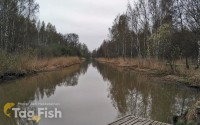
East Alligator River

Water type: River
Basin: Van Diemen Gulf -> Timor sea
Continent:
Australia & Oceania
Climate:
Arid (desert)
Country:
Australia
The East Alligator River is about 160 km long. After rising in the northern part of the Arnhem Land Plateau, it flows with tributary streams towards the northwest, through canyons towards the Van Diemen Gulf, which it meets at Point Farewell. The river has a total catchment area of 15,876 km2 and has many tributaries, including Magela Creek, Tin Camp Creek, and Cooper Creek. The catchment is surrounded by the South Alligator River catchment to the west and Goomadeer and Liverpool River catchments to the east and the Daly River catchment to the south. The river has an annual average discharge of 6,870 gigalitres per year.


