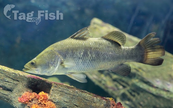
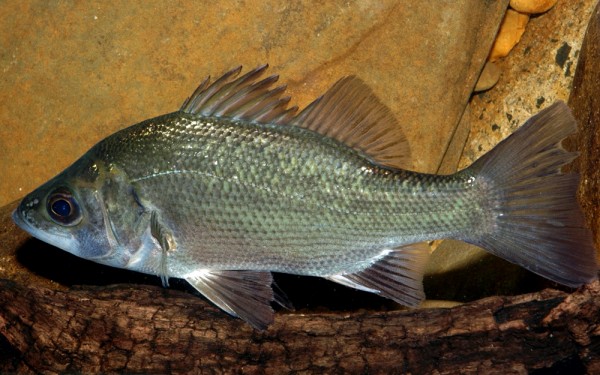
Gwydir River /ɡwaɪdər/ (locally [gwɑe̯də]), a major inland perennial river of the Barwon catchment within the Murray–Darling basin, is located in the Northern Tablelands, North West Slopes, and Orana districts of New South Wales, Australia.
The river rises at the junction of the Rocky River and Boorolong Creek, at Yarrowyck, northwest of Uralla and flows generally northwest and west, joined by over thirty-four tributaries, including the Horton and Mehi rivers, before reaching its confluence with the Barwon River, north east of Collarenebri; descending 616 metres over its 488-kilometre course.
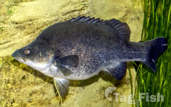
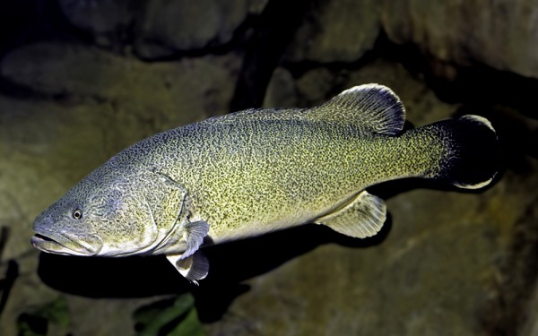
The flow of the river is impounded by Copeton Dam, with storage used for town water supply, stock, domestic use and irrigation. The Gwydir River below Copeton Dam provides some of the wildest whitewater rafting available in Australia. Before the construction of Copeton Dam and much diversionary work, the Gwydir River flowed into the Gingham and Lower Gwydir Wetlands.
The Gwydir Highway was named after the river.