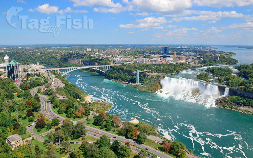
Niagara
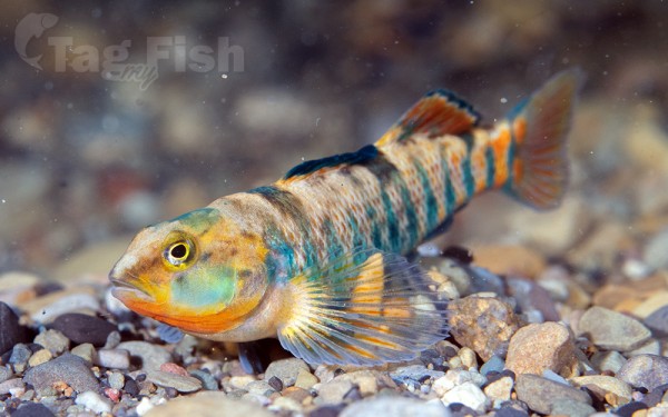
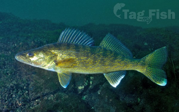
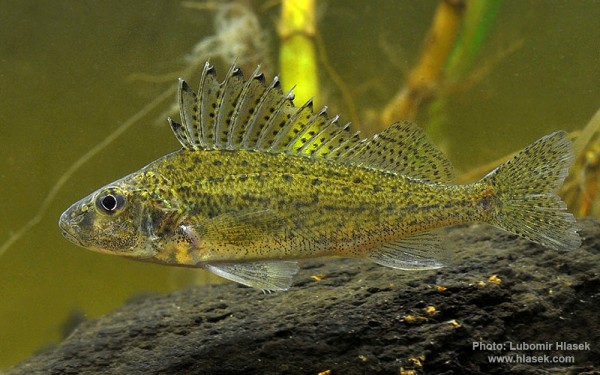
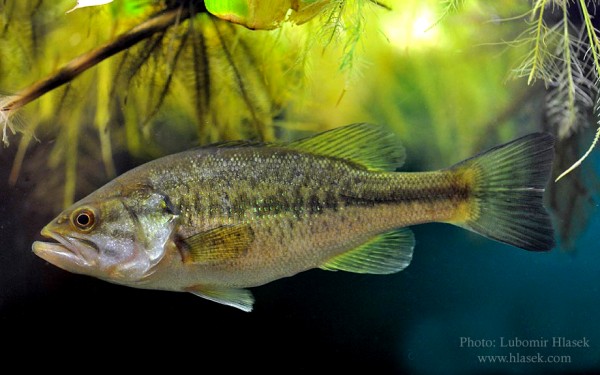
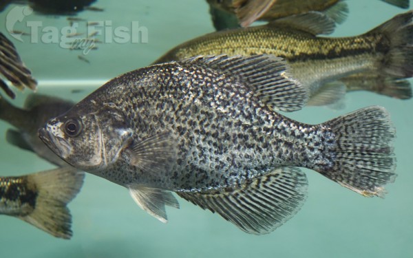
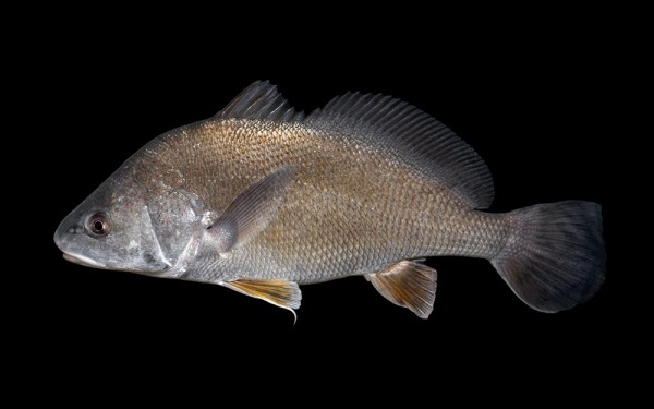
Perciformes - Perches


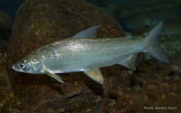
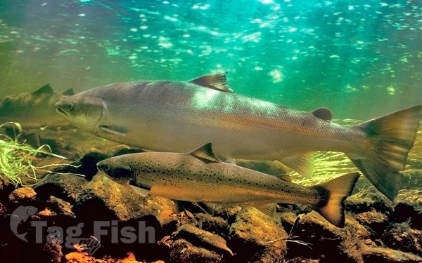
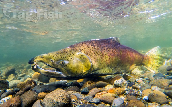
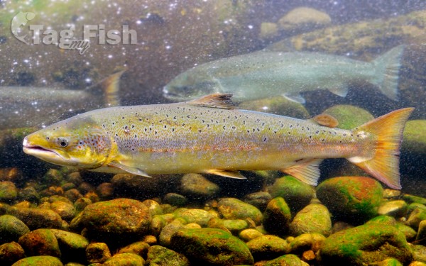
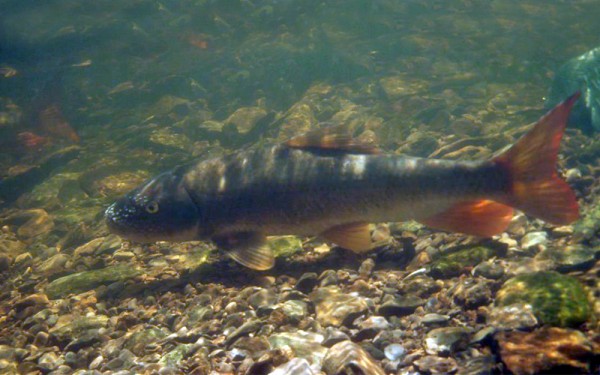
Salmoniformes - Salmons and Trouts
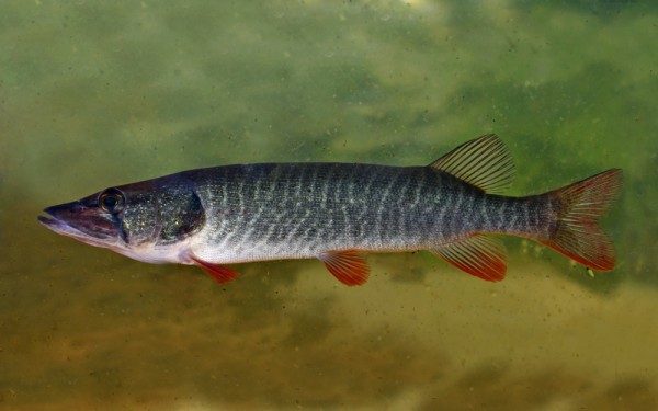
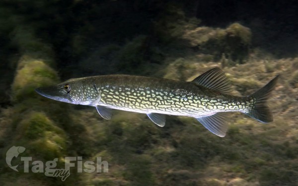
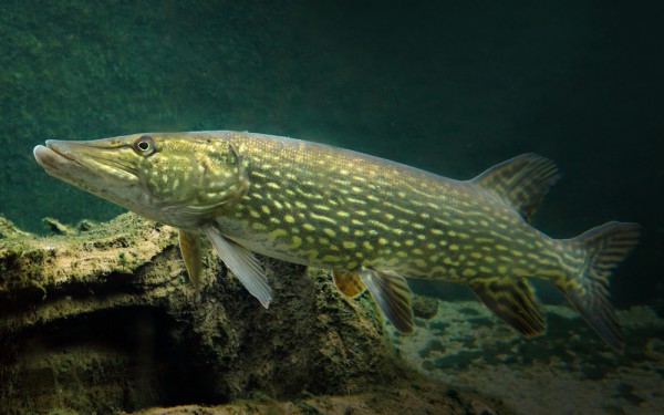
Esociformes - Pikes
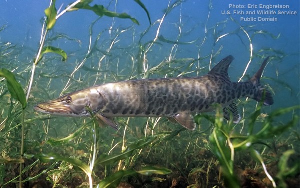
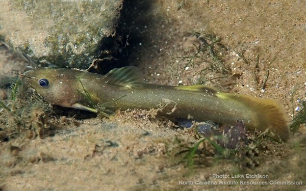
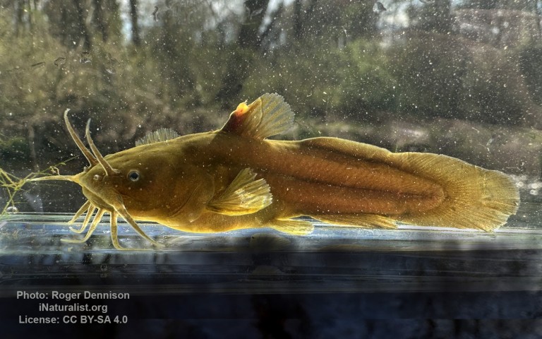
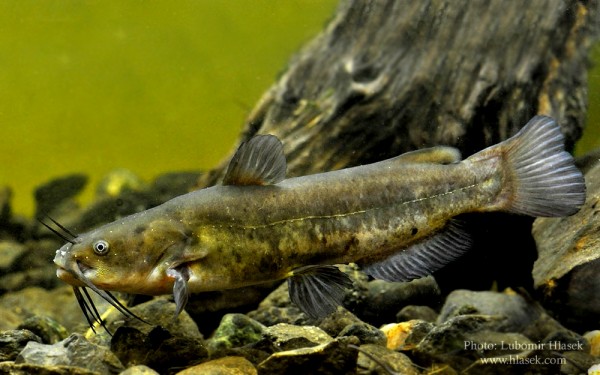
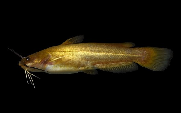
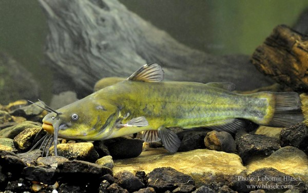
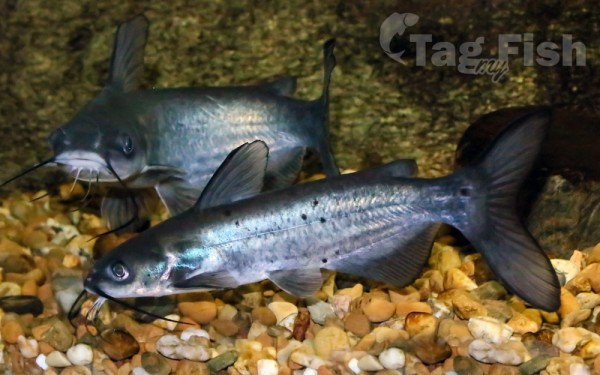
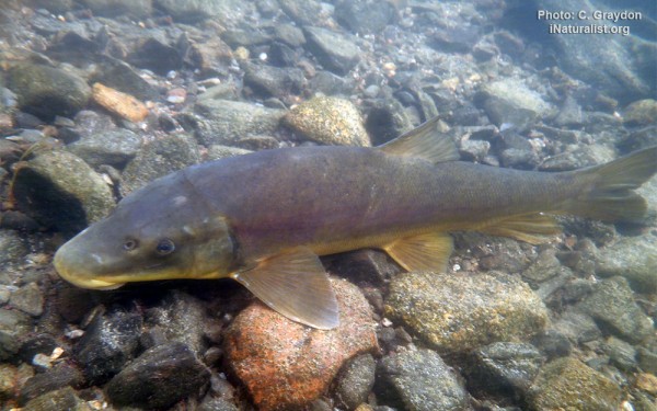
Siluriformes - Catfishes
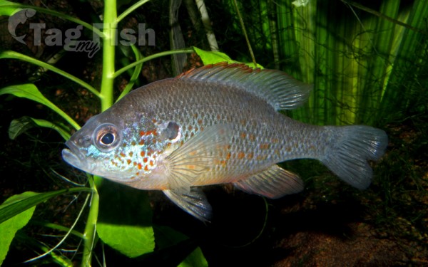
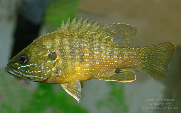
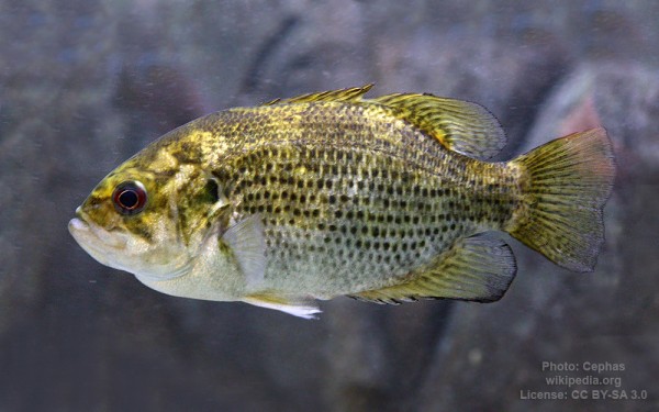
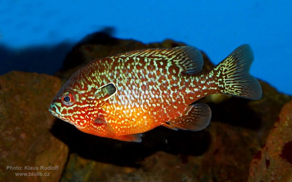
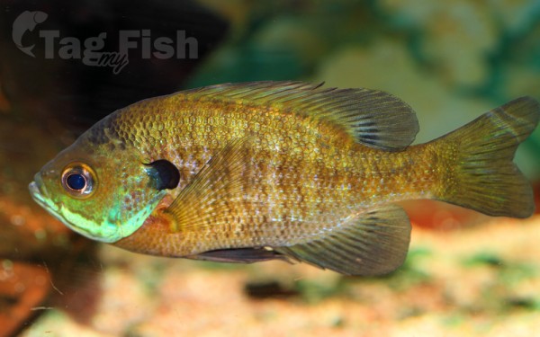
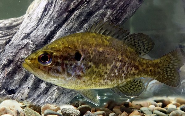
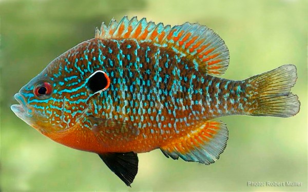
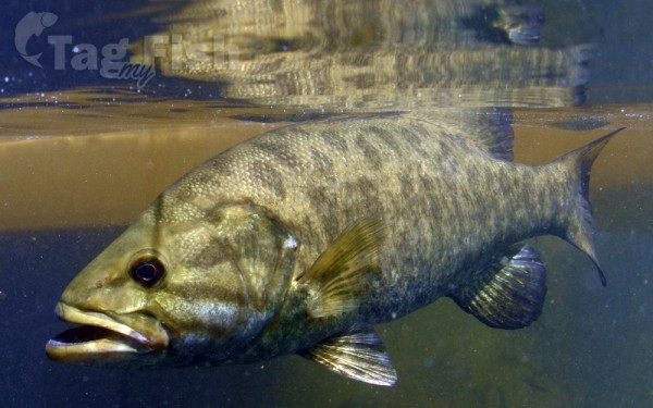
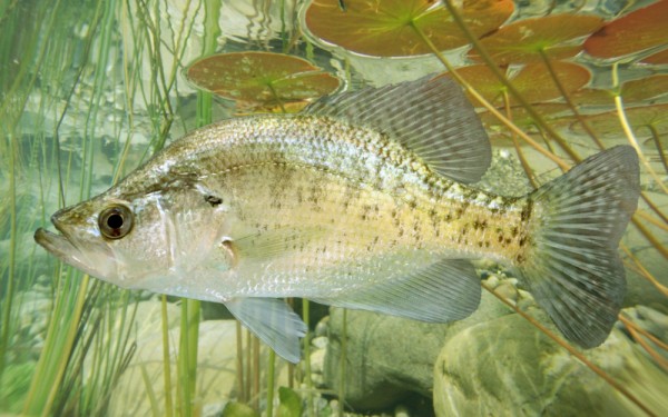
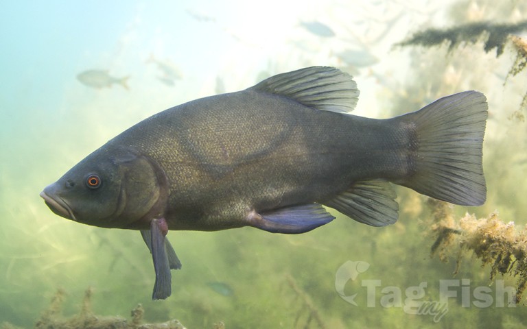
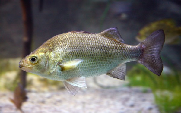
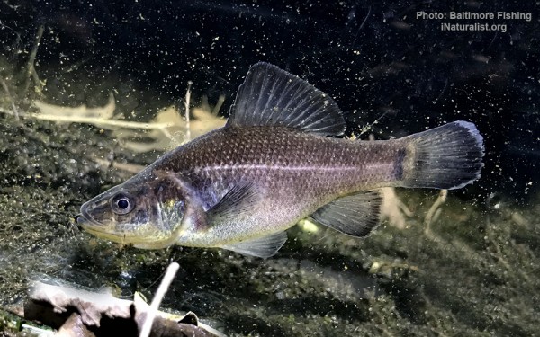
Centrarchiformes - Basses and sunfishes
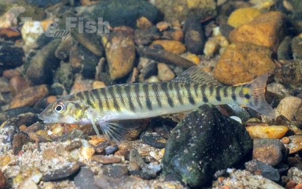
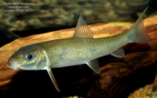
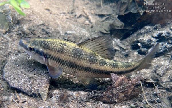
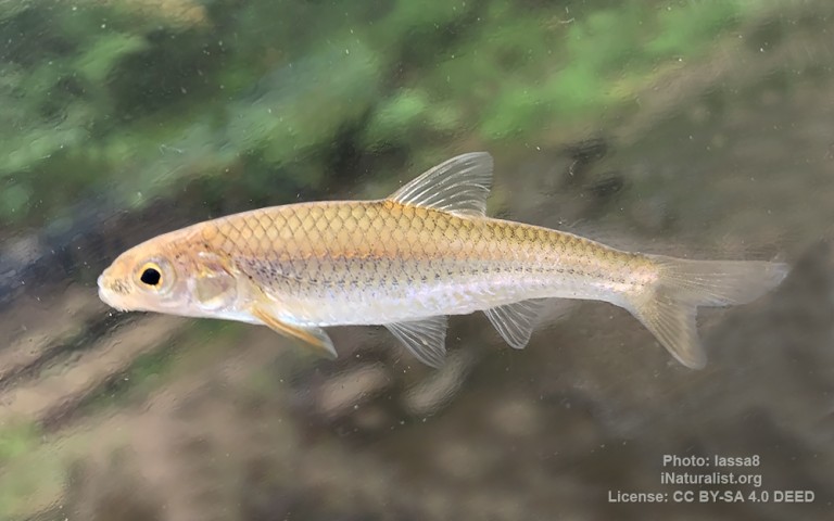
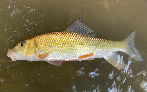
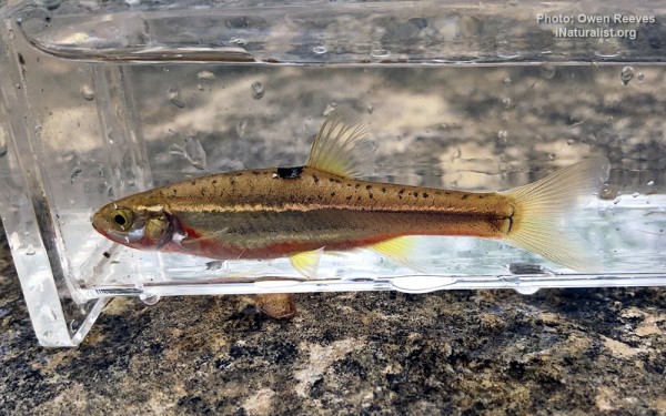
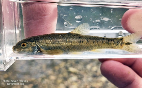
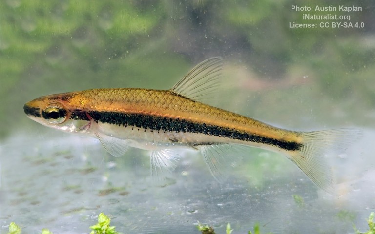
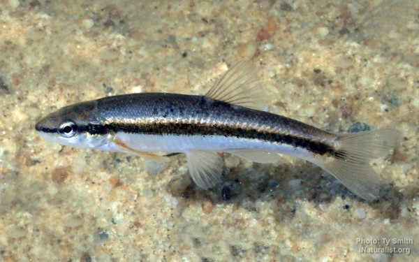
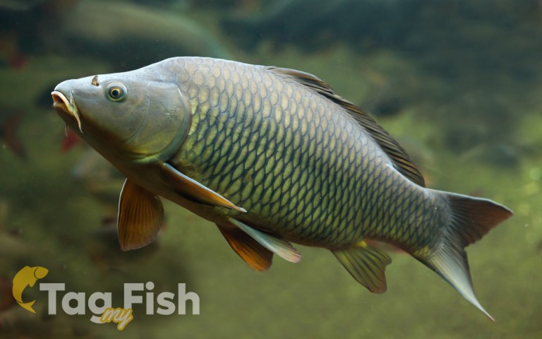
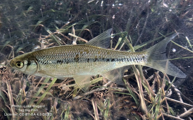
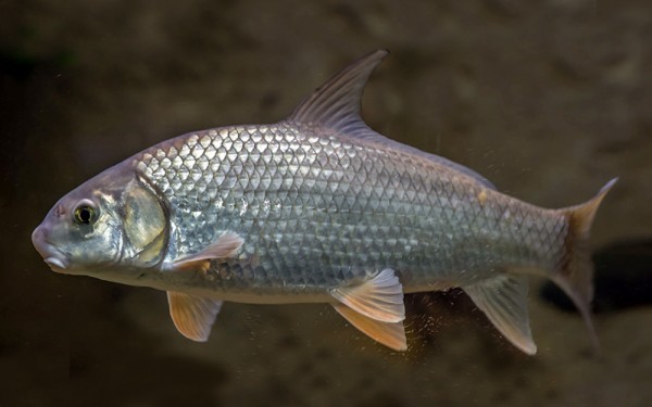
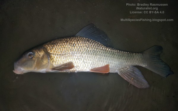
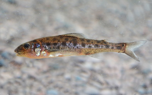
Cypriniformes - Carps


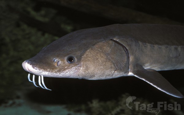
Acipenseriformes - Sturgeons and Paddlefish
Amiiformes - Bowfins
Gadiformes - Cods

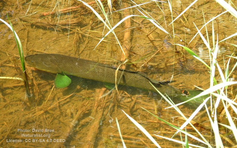
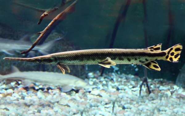
Lepisosteiformes - Gars
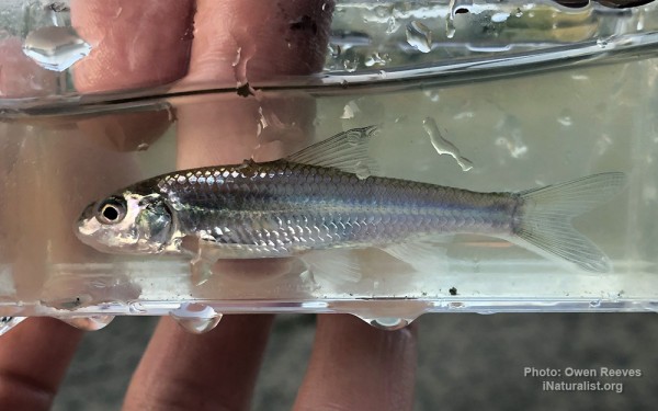
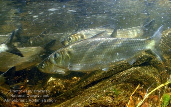
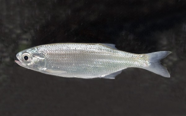
Clupeiformes - Herrings
Acanthuriformes - Surgeonfishes
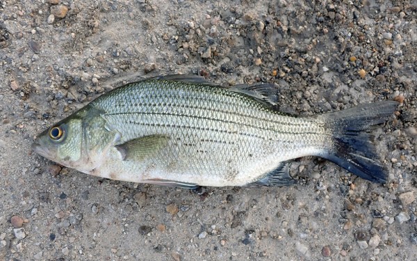
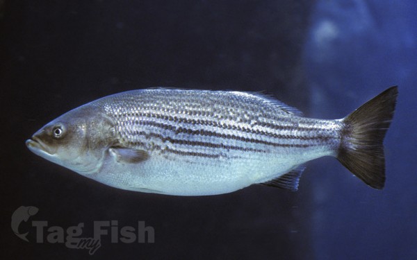
Moroniformes - Temperate basses
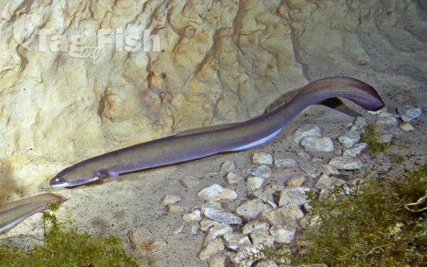
Anguilliformes - Eels and morays
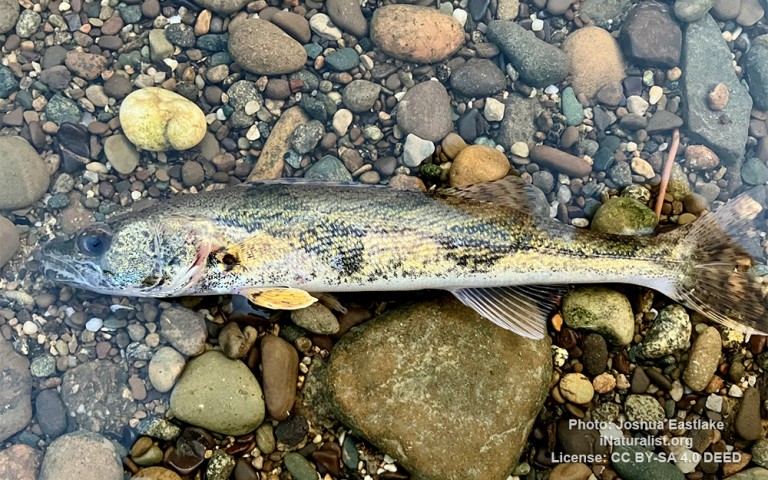
Percopsiformes - Trout-perches
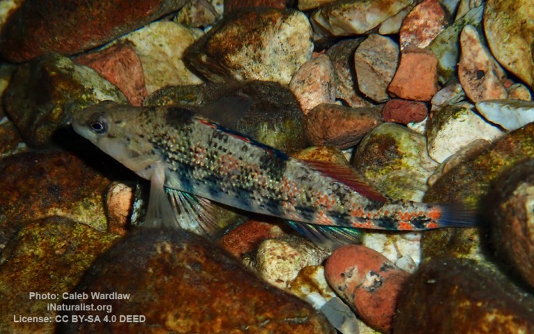
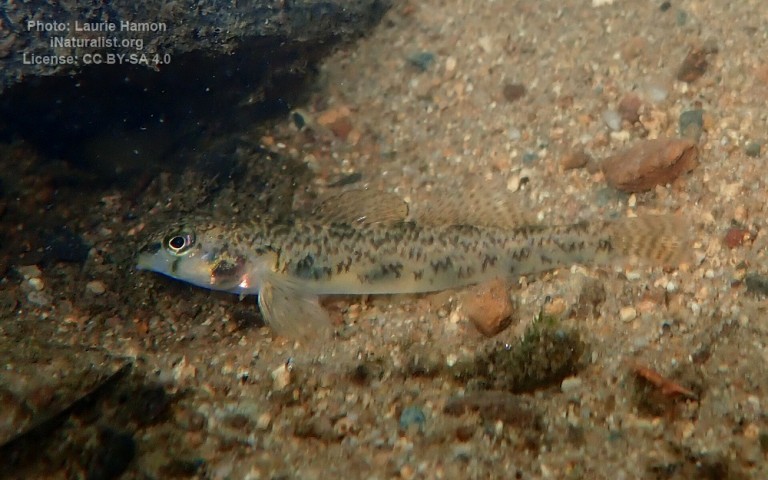
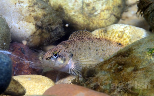
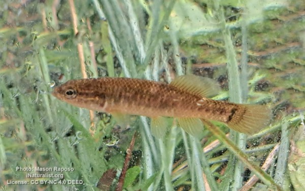
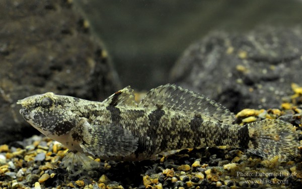
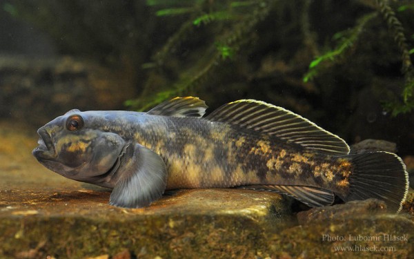
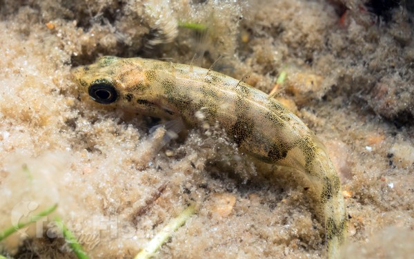
Gobiiformes - Gobies
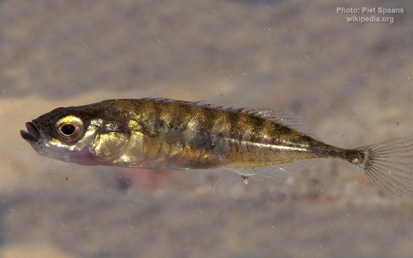
Gasterosteiformes - Sticklebacks
Hiodontiformes - Mooneyes
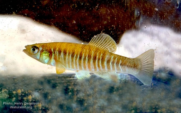
Cyprinodontiformes - Toothcarps
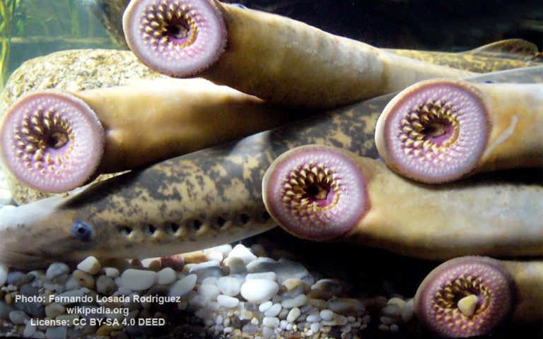
Petromyzontiformes - Lampreys
Perciformes - Perches
Salmoniformes - Salmons and Trouts
Esociformes - Pikes
Siluriformes - Catfishes
Centrarchiformes - Basses and sunfishes
Cypriniformes - Carps
Acipenseriformes - Sturgeons and Paddlefish
Amiiformes - Bowfins
Gadiformes - Cods
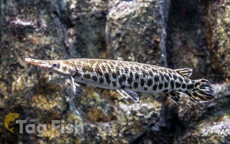
Lepisosteiformes - Gars
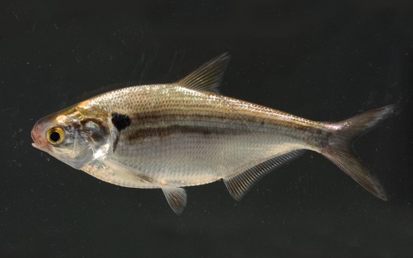
Clupeiformes - Herrings
Acanthuriformes - Surgeonfishes
Moroniformes - Temperate basses
Anguilliformes - Eels and morays
Percopsiformes - Trout-perches
Gobiiformes - Gobies
Gasterosteiformes - Sticklebacks
Hiodontiformes - Mooneyes
Cyprinodontiformes - Toothcarps
Petromyzontiformes - Lampreys
The Niagara River is a river that flows north from Lake Erie to Lake Ontario.
It forms part of the border between the province of Ontario in Canada (on the west) and the state of New York in the United States (on the east).
The river is about 58 kilometres (36 mi) long and includes Niagara Falls in its course. The falls have moved approximately 11 kilometres (6.8 mi) upstream from the Niagara Escarpment in the last 12,000 years, resulting in a gorge below the falls. Today, the diversion of the river for electrical generation has significantly reduced the rate of erosion. The total drop in elevation along the river is 99 metres (325 ft). The Niagara Gorge extends downstream from the Falls and includes the Niagara Whirlpool and another section of rapids.
Power plants on the river include the Sir Adam Beck Hydroelectric Power Stations (built in 1922 and 1954) on the Canadian side and the Robert Moses Niagara Power Plant (built in 1961) on the American side. Together, they generate 4.4 gigawatts of electricity.
The International Control Works, built in 1954, regulates the river flow.
Ships on the Great Lakes use the Welland Canal, part of the Saint Lawrence Seaway, on the Canadian side of the river, to bypass Niagara Falls.