Red River of the North
Largest tributaries
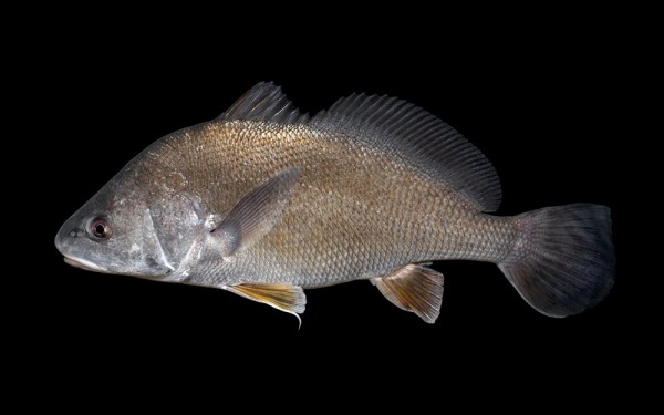
Perciformes - Perches
Esociformes - Pikes
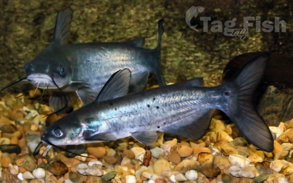
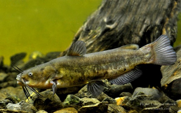
Siluriformes - Catfishes
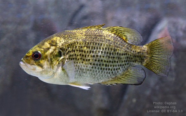
Centrarchiformes - Basses and sunfishes
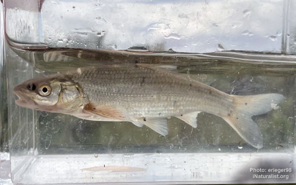
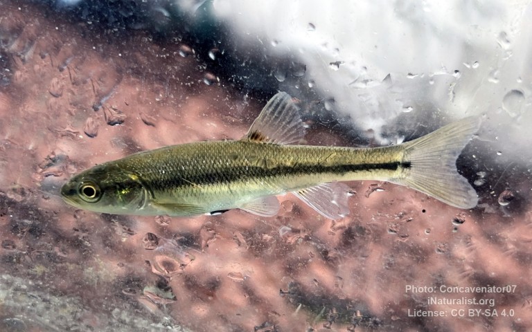
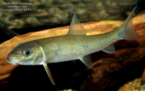
Cypriniformes - Carps
Gadiformes - Cods
Acanthuriformes - Surgeonfishes
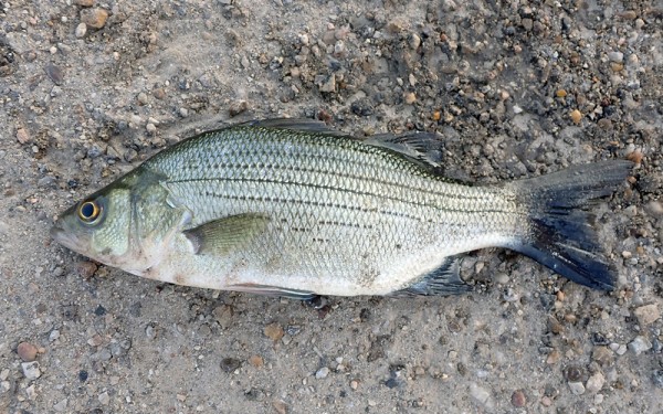
Moroniformes - Temperate basses
Hiodontiformes - Mooneyes
Perciformes - Perches
Esociformes - Pikes
Siluriformes - Catfishes
Centrarchiformes - Basses and sunfishes
Cypriniformes - Carps
Gadiformes - Cods
Acanthuriformes - Surgeonfishes
Moroniformes - Temperate basses
Hiodontiformes - Mooneyes
Petromyzontiformes - Lampreys
Perciformes - Perches
Esociformes - Pikes
Siluriformes - Catfishes
Centrarchiformes - Basses and sunfishes
Cypriniformes - Carps
Gadiformes - Cods
Acanthuriformes - Surgeonfishes
Moroniformes - Temperate basses
Hiodontiformes - Mooneyes
Petromyzontiformes - Lampreys
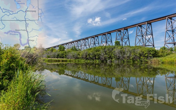
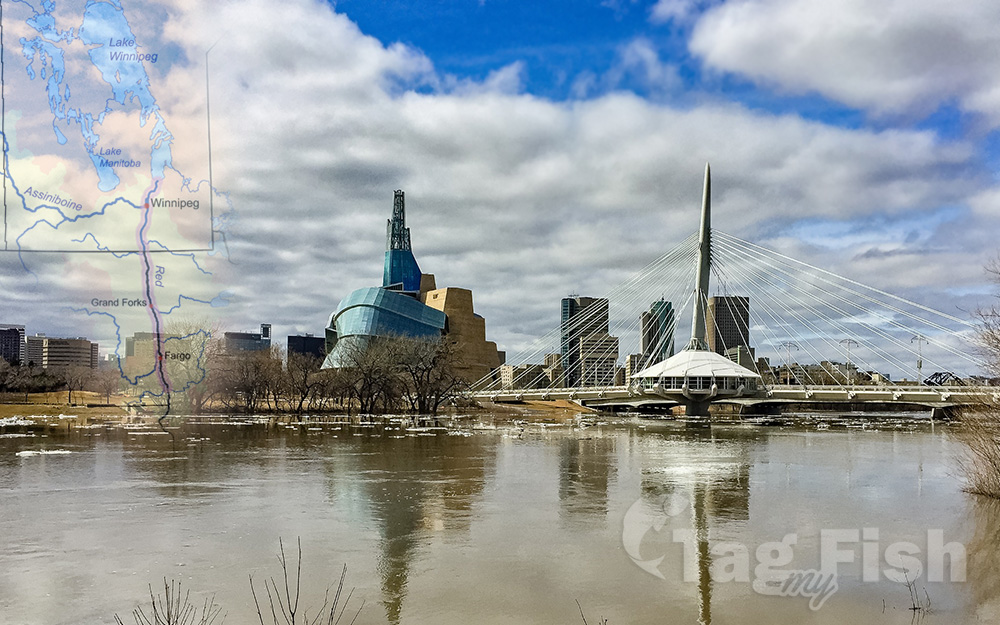
The Red River (French: rivière Rouge or rivière Rouge du Nord) is a river in the north-central United States and central Canada. Originating at the confluence of the Bois de Sioux and Otter Tail rivers between the U.S. states of Minnesota and North Dakota, it flows northward through the Red River Valley, forming most of the border of Minnesota and North Dakota and continuing into Manitoba. It empties into Lake Winnipeg, whose waters join the Nelson River and ultimately flow into Hudson Bay.
The Red River is about 885 kilometres (550 mi) long, of which about 635 kilometres (395 mi) are in the United States and about 255 kilometres (158 mi) are in Canada.
The river falls 70 metres (230 ft) on its trip to Lake Winnipeg, where it spreads into the vast deltaic wetland known as Netley Marsh.
Several urban areas have developed on both sides of the river, including the city of Winnipeg in Canada, as well as the Fargo-Moorhead and Grand Forks–East Grand Forks metropolitan areas, both of which straddle the North Dakota–Minnesota border. Long an important highway for trade, the Red River has been designated a Canadian Heritage River.
In the United States, the Red River is sometimes called the Red River of the North to distinguish it from the so-called Red River of the South, a tributary of the Atchafalaya River that forms part of the border between Texas, Oklahoma, and Arkansas.

