San Carlos River (United States)
Artificial lakes
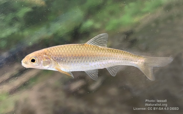
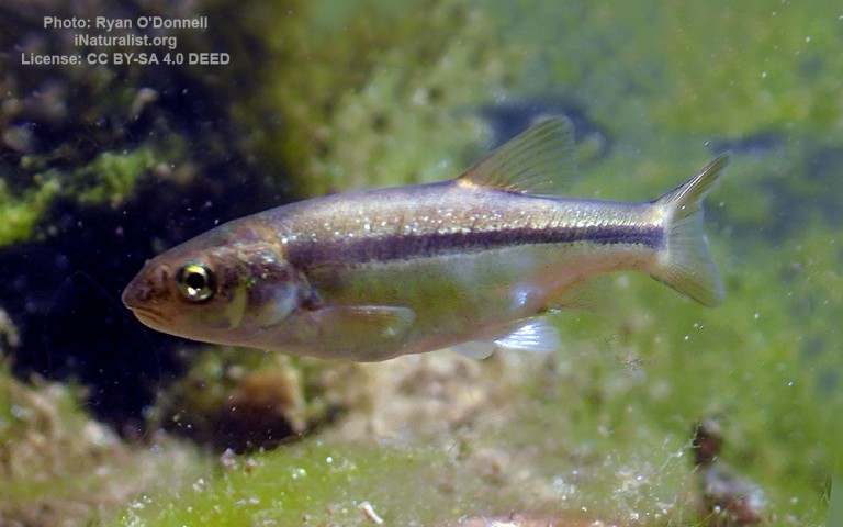
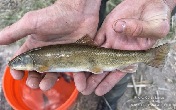
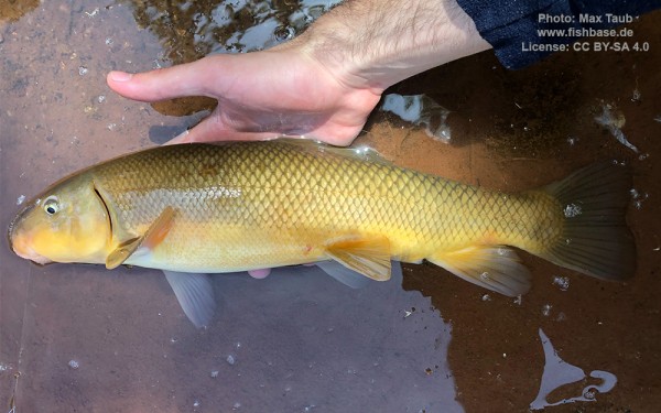
Cypriniformes - Carps
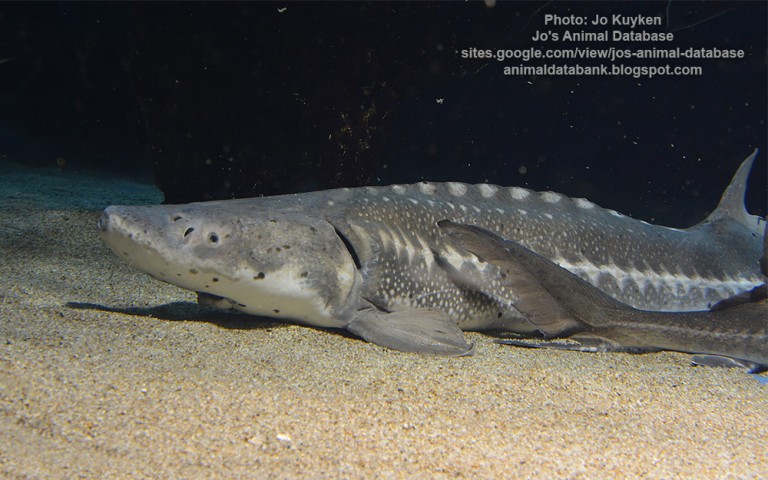
Acipenseriformes - Sturgeons and Paddlefish
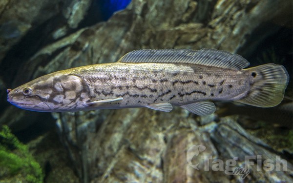
Amiiformes - Bowfins
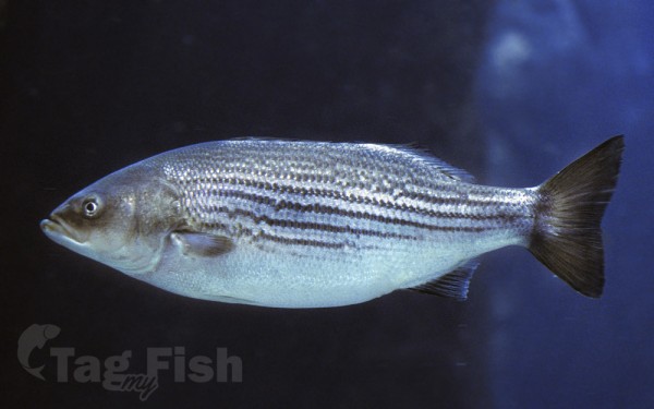
Moroniformes - Temperate basses
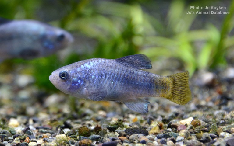
Cyprinodontiformes - Toothcarps
Cypriniformes - Carps
Acipenseriformes - Sturgeons and Paddlefish
Amiiformes - Bowfins
Moroniformes - Temperate basses
Cyprinodontiformes - Toothcarps
The San Carlos River is a 37-mile (60 km) long tributary of the Gila River in southeast Arizona, United States. The river drains an arid region of 1,026 square miles (2,660 km2), situated mostly within the San Carlos Indian Reservation.
The river originates as the confluence of Ash Creek (30 miles (48 km) long) and Kidde Creek in the Natanes Mountains, a subrange of the Gila Mountains, at 4,300 feet (1,300 m) above sea level. Flowing west, it enters a deep canyon along the Gila–Graham County line.
After receiving the Blue River from the right, the river is impounded in a small reservoir, Takalai Lake. Below the lake the valley widens and the river turns south, passing San Carlos and Peridot, before emptying into the northern arm of San Carlos Lake, a reservoir on the Gila River.

