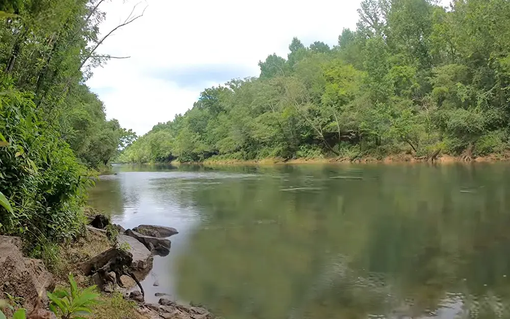
Sipsey Fork of Black Warrior

General data
- Name: Sipsey Fork of Black Warrior
- Water system: Mobile River
- Water type: River
- Progression: Mulberry Fork Black Warrior -> Black Warrior River -> Tombigbee River -> Mobile River -> Mobile Bay -> Gulf of Mexico -> Atlantic Ocean -> Planet Earth
- Climates: Temperate
- Continents: North America
- Countries: United States of America
The Sipsey Fork of the Black Warrior River is a 71-mile-long (114 km) river located in the U.S. state of Alabama, and is formed by the junction of Thompson and Hubbard creeks in the Sipsey Wilderness of Bankhead National Forest. The Sipsey Fork discharges into the Mulberry Fork. The Sipsey Fork below Lewis Smith Lake is one of the few places within the state to catch rainbow trout.

 English
 Spanish
 German
 French
 Serbian
 Russian

