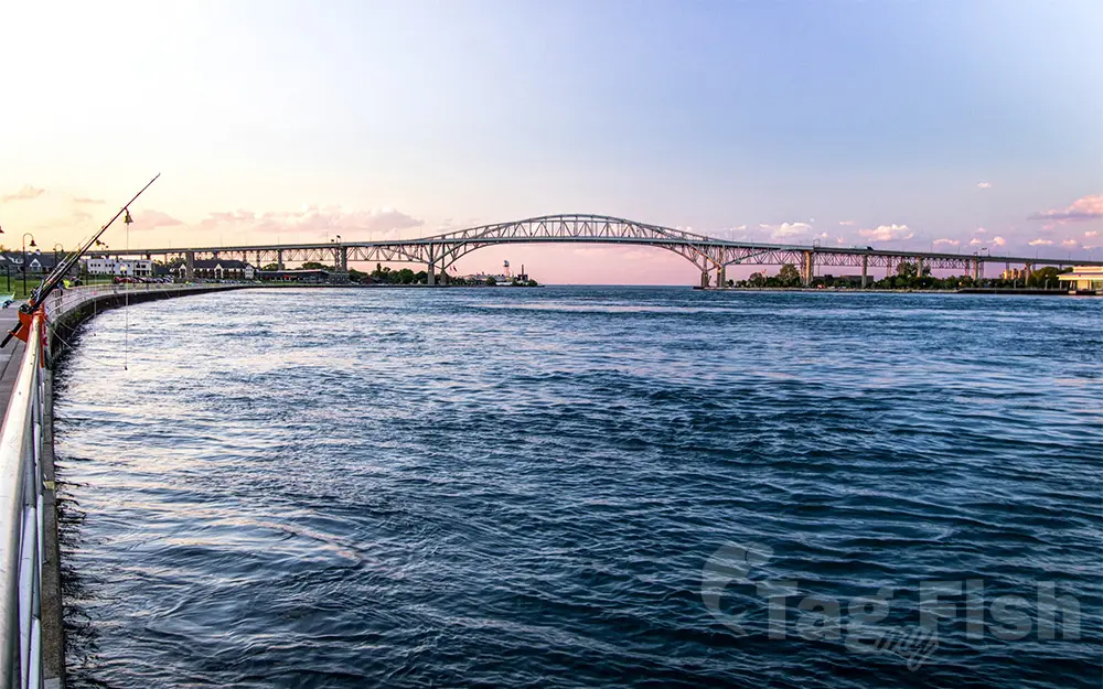
St. Clair River

General data
- Name: St. Clair River
- Water system: St. Lawrence River
- Water type: River
- Source: Lake Huron
- Progression: Lake St. Clair (North America) -> Detroit River -> Lake Erie -> Niagara River -> Lake Ontario -> St. Lawrence River -> Gulf of St. Lawrence -> Atlantic Ocean -> Planet Earth
- Climates: Continental
- Continents: North America
- Countries: Canada, United States of America
The St. Clair River is a 40.5 mile long (65.2 km) river in central North America that flows from Lake Huron into Lake St. Clair, forming part of the international boundary between the Canadian province of Ontario and the United States at Michigan. The river is a significant component in the Great Lakes Waterway, whose shipping channels permit cargo vessels to travel between the upper and lower Great Lakes. The river drops 5 feet (2 m) in elevation from Lake Huron to Lake St. Clair. The flow rate averages around 182,000 cubic feet per second (5,200 m3/s), and the drainage area is 223,600 square miles (579,000 km2). This takes into account the combined drainage areas of Lakes Huron, Michigan, and Superior.

 English
 Spanish
 German
 French
 Serbian
 Russian

