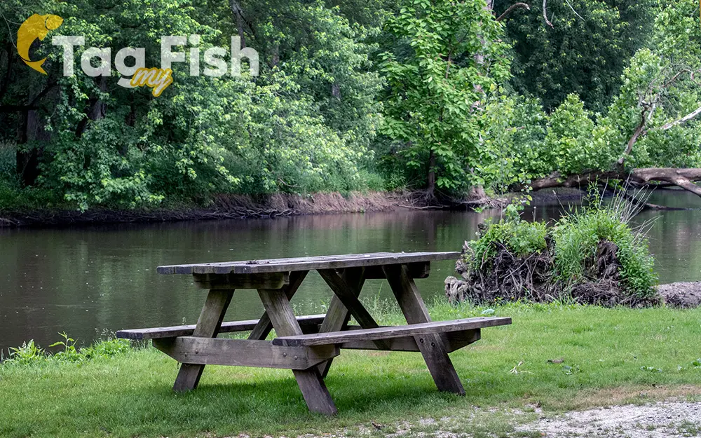
Tippecanoe River

General data
- Name: Tippecanoe River
- Water system: Mississippi River
- Water type: River
- Progression: Wabash River -> Ohio River -> Mississippi River -> Gulf of Mexico -> Atlantic Ocean -> Planet Earth
- Climates: Temperate
- Continents: North America
- Countries: United States of America
The Tippecanoe River is a gentle, 182-mile-long (293 km) river in the Central Corn Belt Plains ecoregion in northern Indiana. It flows from Crooked Lake in Noble County to the Wabash River near what is now Battle Ground, about 12 miles (19 km) northeast of Lafayette. The Tippecanoe River is fed by 88 natural lakes and has a drainage area of 1,250,000 acres (5,100 km2), spanning 14 counties. It supports more numerous imperiled species and overall species diversity than most streams of the upper Midwest. The Nature Conservancy has identified it as one of the top ten rivers in the United States to preserve due to its ecological diversity and the high proportion of endangered species found in it. The river fishery is similar to the early 1900s, even with the changes in river use and the increase in urban and agricultural use. Surveys done in the early 21st century found representatives of 14 families and 54 species of fishes. Nearly 80% of collected fish are game fish species, including: Largemouth bass (Micropterus salmoides), Yellow perch (Perca flavescens), Walleye (Stizostedion vitreum), Muskellunge (Esox masquinongy), Bluegill (Lepomis macrochirus), Channel catfish (Ictalurus punctatus), Rainbow trout (Oncorhynchus mykiss), White and Black crappie (Pomoxis annularis and P. nigromaculatus), Longear sunfish (Lepomis megalotis), Northern pike (Esox lucius), Rock bass (Ambloplites rupestris), White bass (Morone chrysops) and Warmouth (Lepomis gulosus). Bluegills were the dominant fish, being 50% of the river population.

 English
 Spanish
 German
 French
 Serbian
 Russian

