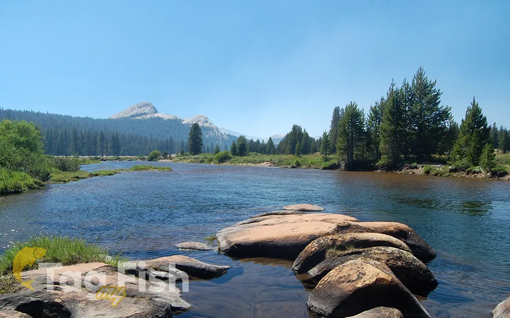
Tuolumne River

General data
- Name: Tuolumne River
- Water system: San Joaquin River
- Water type: River
- Progression: San Joaquin River -> Suisun Bay -> Carquinez Strait -> San Pablo Bay -> San Francisco Bay -> Golden Gate strait -> Pacific Ocean -> Planet Earth
- Climates: Temperate
- Continents: North America
- Countries: United States of America
The Tuolumne River flows for 149 miles (240 km) through Central California, originating in the high Sierra Nevada and joining the San Joaquin River in the Central Valley. Rising from elevations of over 8,000 feet (2,400 m) above sea level in Yosemite National Park, the Tuolumne covers a rugged watershed of 1,958 square miles (5,070 km2) and carves a series of canyons through the western slope of the Sierra. Historically, the Tuolumne River supported significant spring and fall runs of chinook salmon (king salmon, Oncorhynchus tshawytscha) and steelhead trout (Oncorhynchus mykiss). The fall Chinook run alone may have once numbered as high as 130,000. However, due to massive irrigation diversions and river channelization projects, the spring Chinook run has become extinct and the fall run greatly reduced. Dams have blocked more than half of the original 99 miles (159 km) of migratory fish spawning habitat in the Tuolumne River watershed. The Tuolumne River hosts the southernmost existing population of Chinook salmon in North America, with the exception of the Merced River immediately south. However, the salmon runs have been significantly impacted by flow reduction and pollution in the San Joaquin River and the Sacramento–San Joaquin River Delta, which connect the Tuolumne salmon runs to the Pacific Ocean. Additionally, introduced species such as striped bass prey on juvenile salmon, consuming up to 93 percent of smolt before they can migrate to the sea. A contentious proposal by the State Water Resources Control Board from around 2013 aimed to increase spring and summer flows on the Tuolumne River to benefit native anadromous fish populations, but this would greatly reduce the water supply available for farms and cities. Irrigation districts have countered this proposal, arguing that predation, rather than low flows, is the primary cause of salmon smolt deaths.

 English
 Spanish
 German
 French
 Serbian
 Russian

