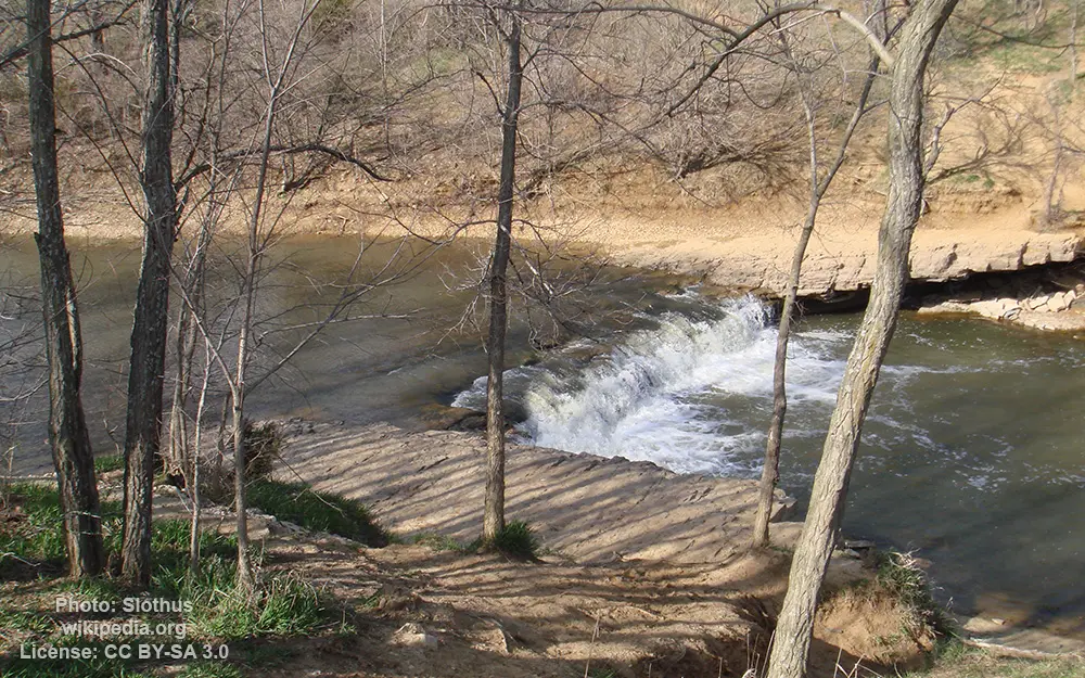
Wakarusa River

General data
- Name: Wakarusa River
- Water system: Missouri River
- Water type: River
- Progression: Kansas River -> Missouri River -> Mississippi River -> Gulf of Mexico -> Atlantic Ocean -> Planet Earth
- Climates: Subtropical
- Continents: North America
- Countries: United States of America
It rises in several branches located southwest of Topeka. The main branch rises on the Wabaunsee-Shawnee county line, approximately 10 miles (16 km) southwest of Topeka and flows east. The South Branch rises in eastern Wabaunsee County, approximately 15 miles (24 km) southwest of Topeka and flows east-northeast, joining the main branch south of Topeka. The main branch flows generally east, flowing south of Lawrence. It joins the Kansas River in Douglas County at Eudora, approximately 8 miles (13 km) east of Lawrence. It is impounded by Clinton Dam approximately 3 miles (5 km) southwest of Lawrence to form Clinton Lake. The river is known for its gentle current that winds through river-level outcropping rocks, primarily of Pennsylvanian limestone. This reach of the river was inhabited by different Native American tribes, including the Kansa and Osage Nation in the 18th century.

 English
 Spanish
 German
 French
 Serbian
 Russian

