Wind River (Wyoming)
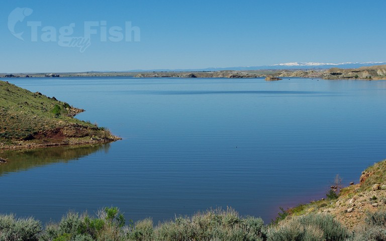
Artificial lakes
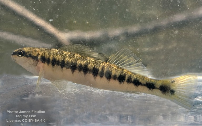
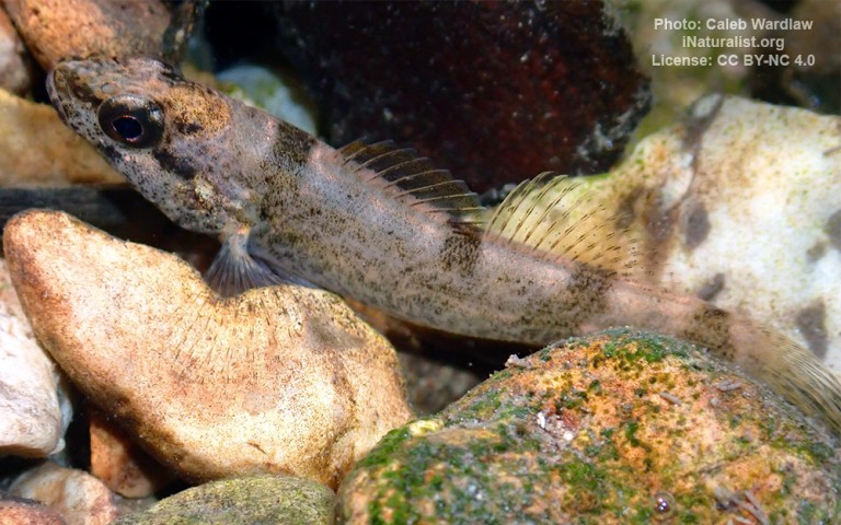
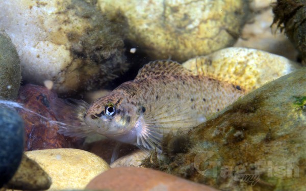
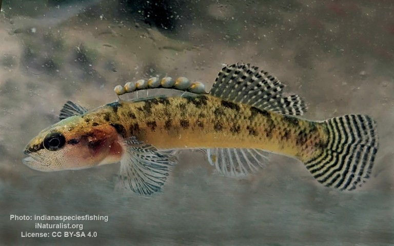
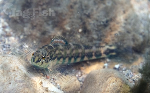
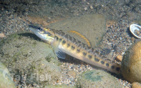
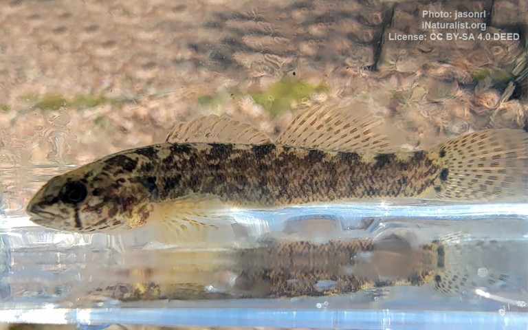
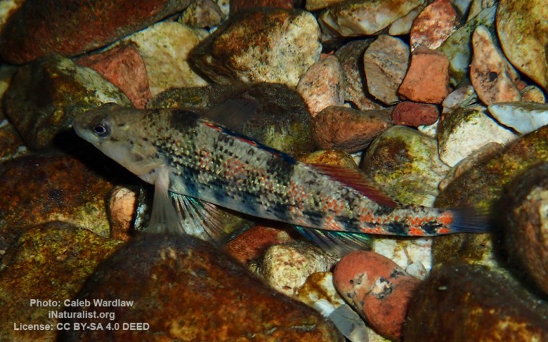
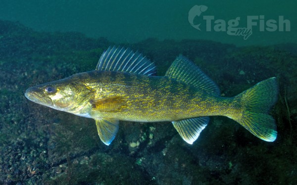
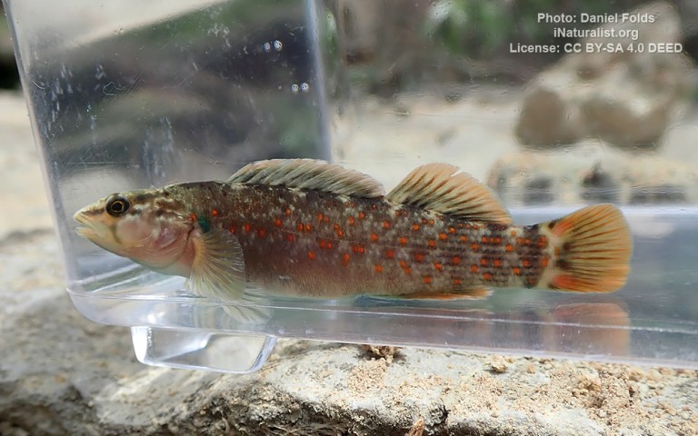
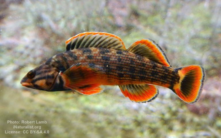
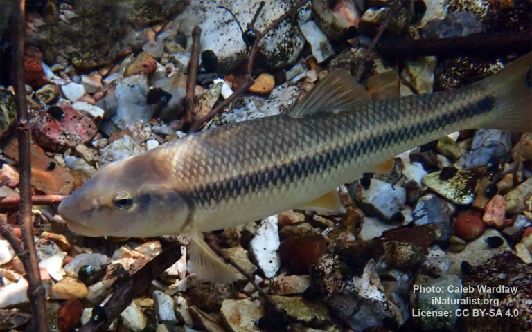
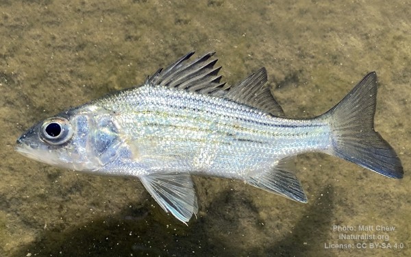
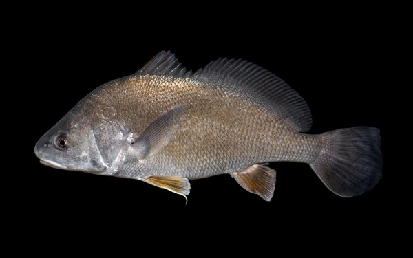
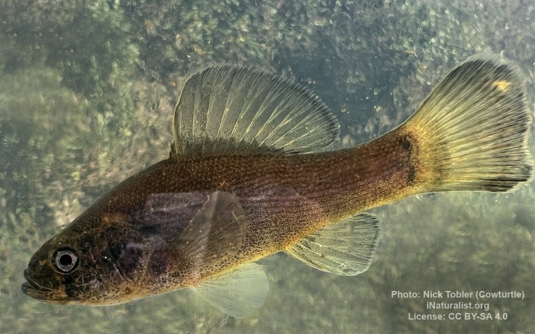
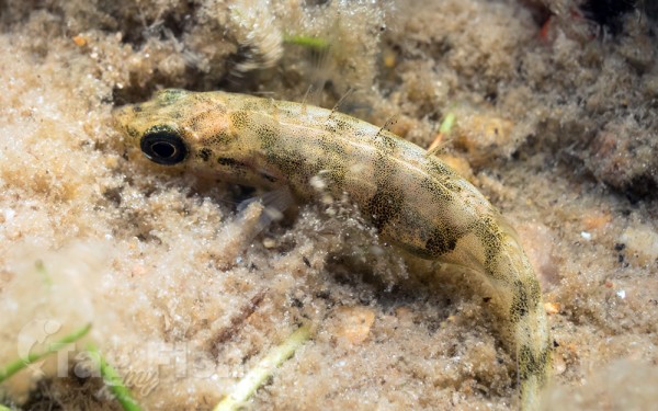
Perciformes - Perches


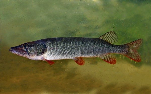
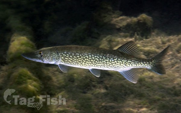
Esociformes - Pikes

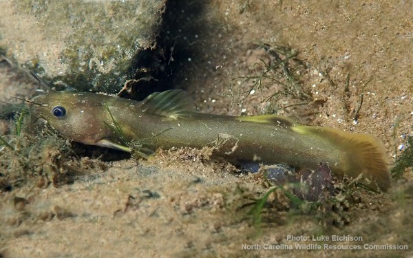
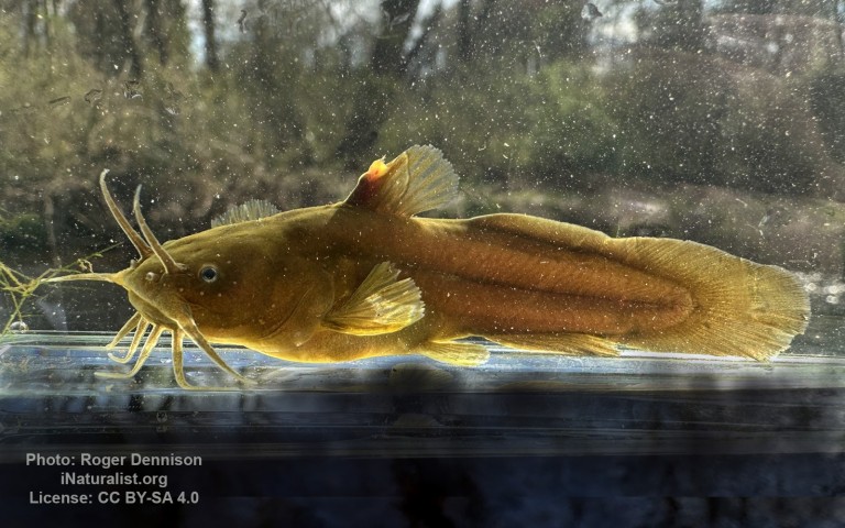
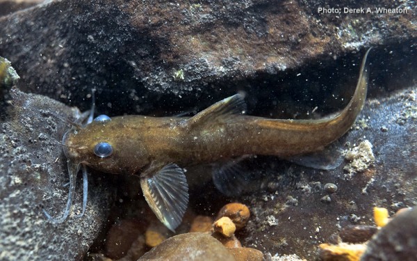
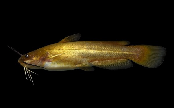
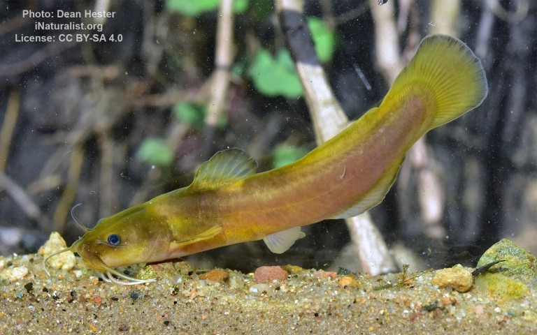
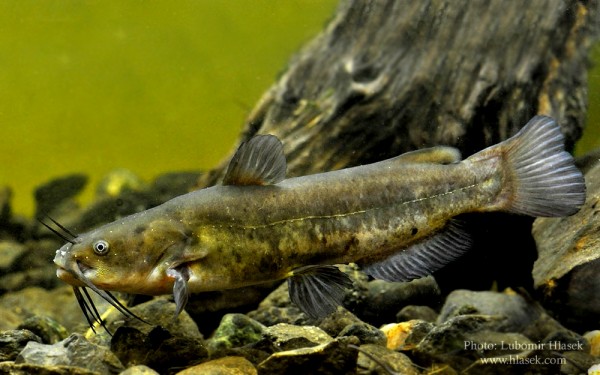
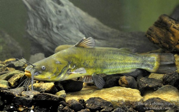
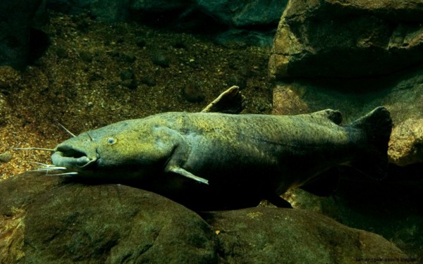
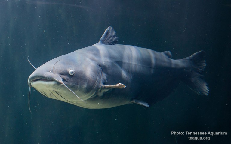
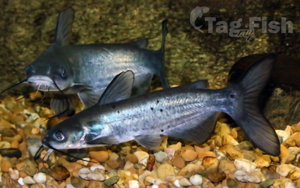
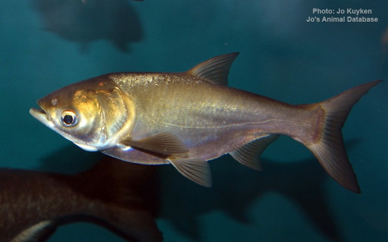
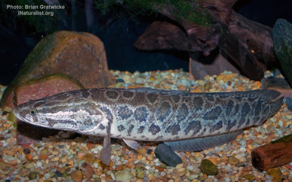
Siluriformes - Catfishes
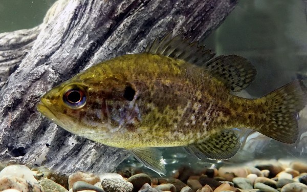
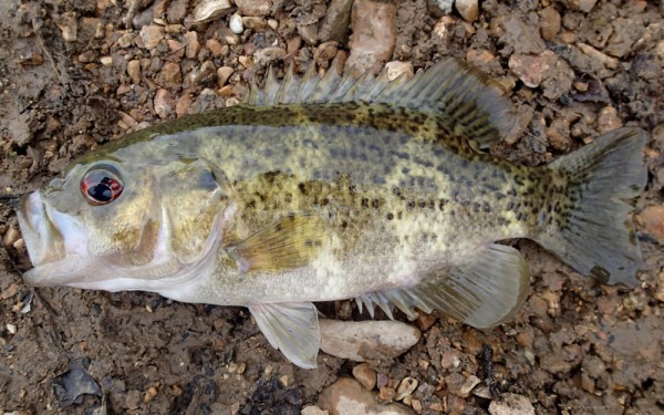
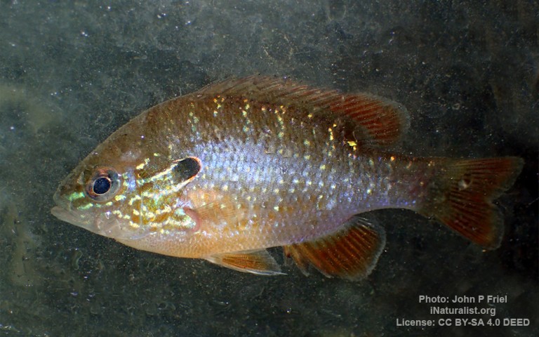
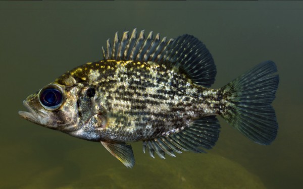
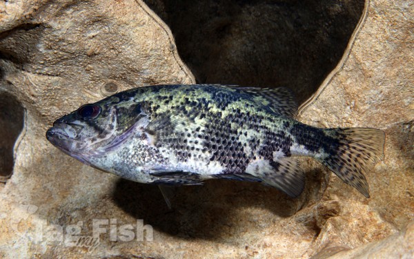
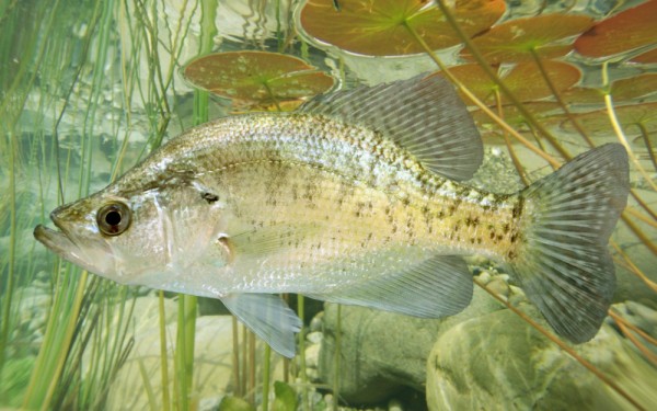
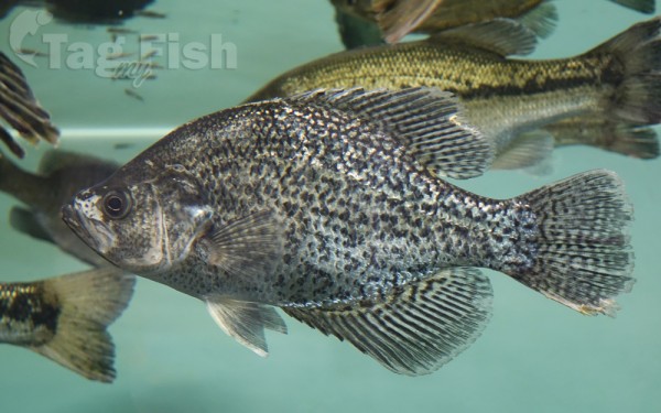
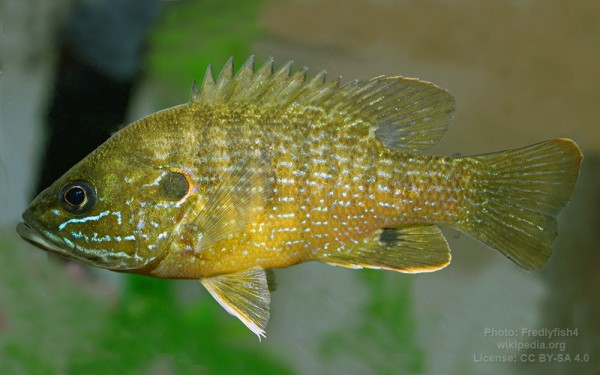
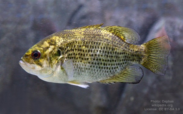
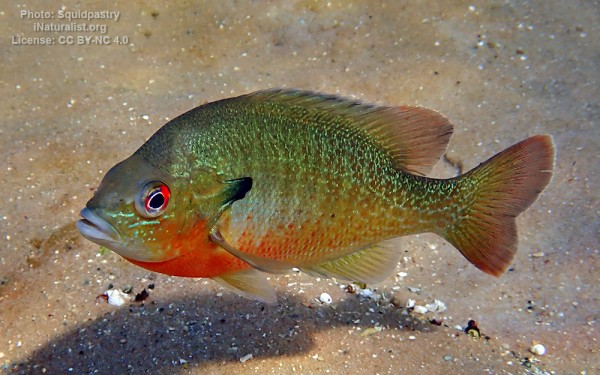
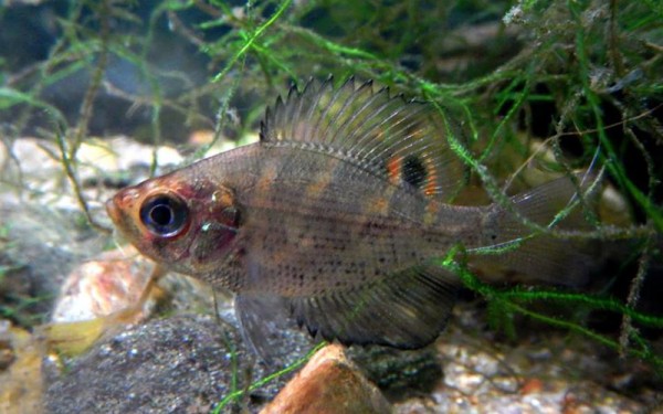
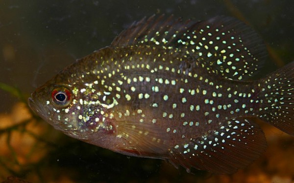
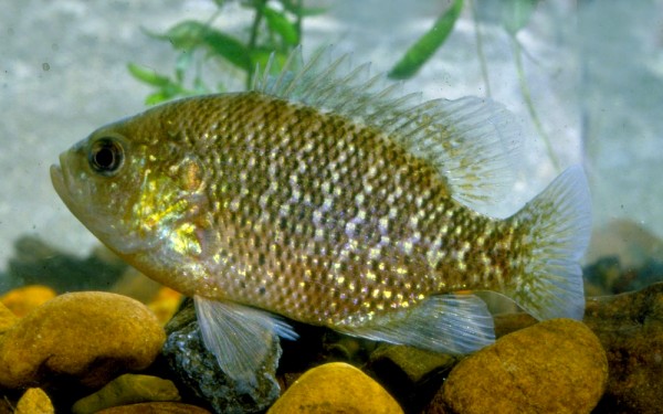
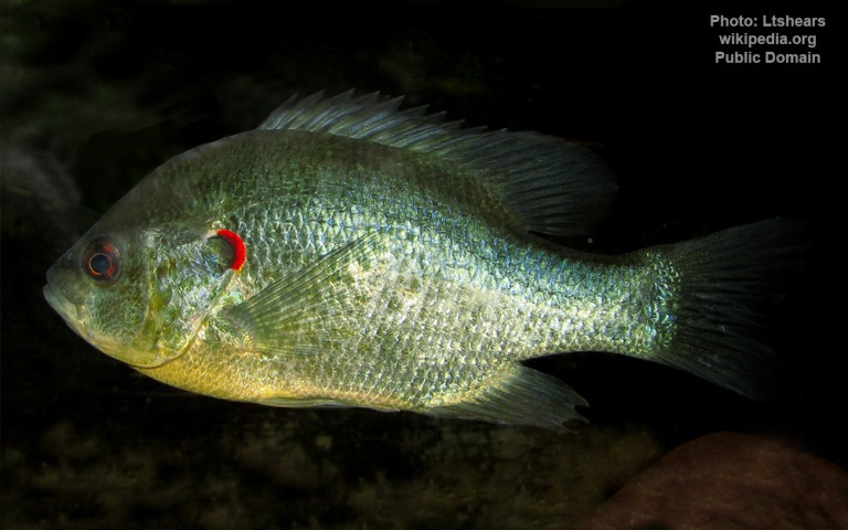
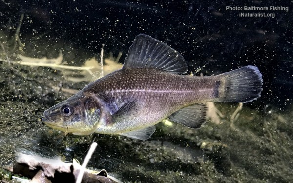
Centrarchiformes - Basses and sunfishes


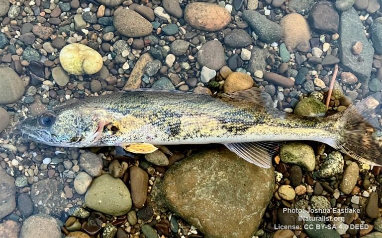
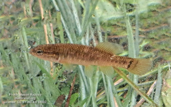
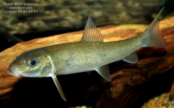
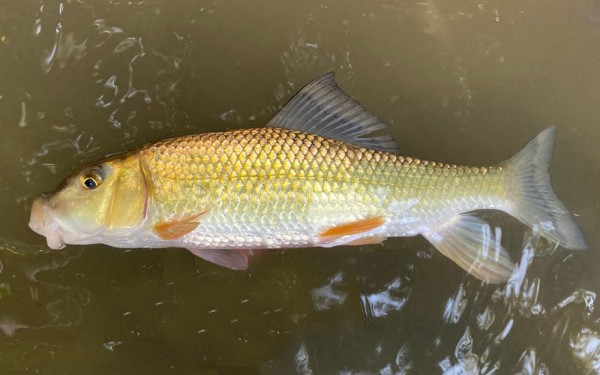
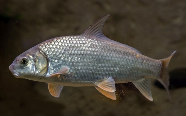
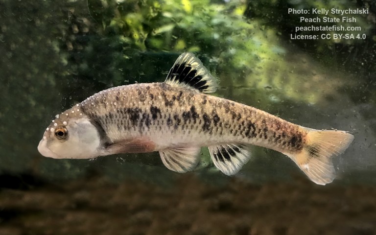
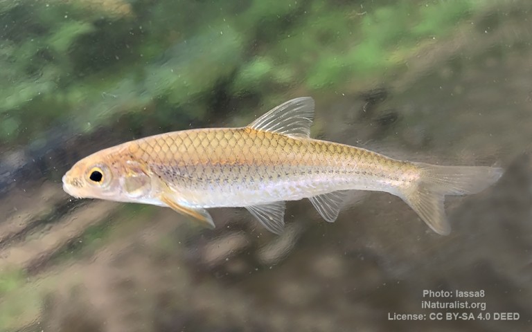
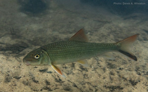
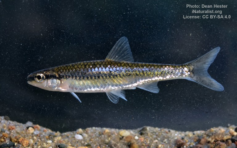
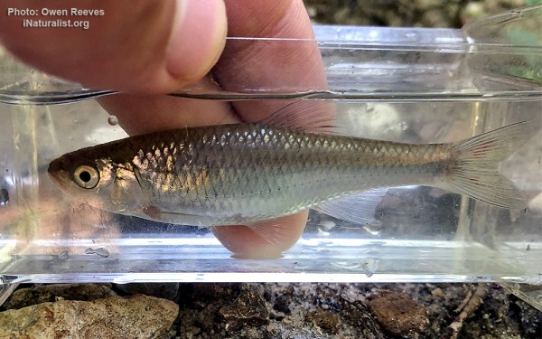
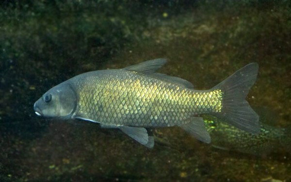
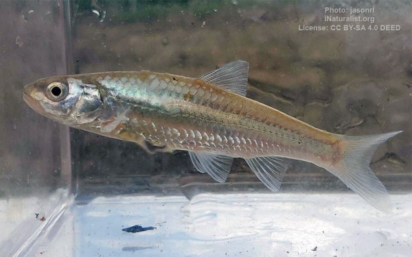
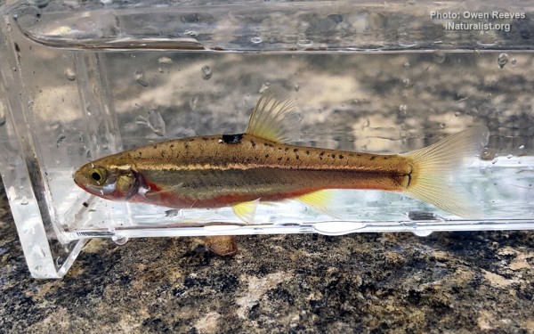
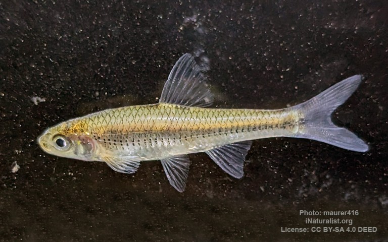
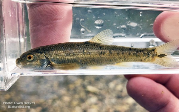
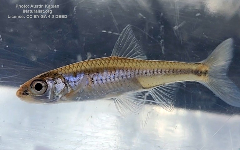
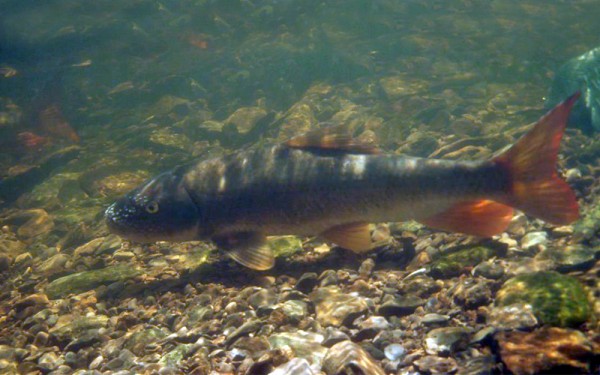
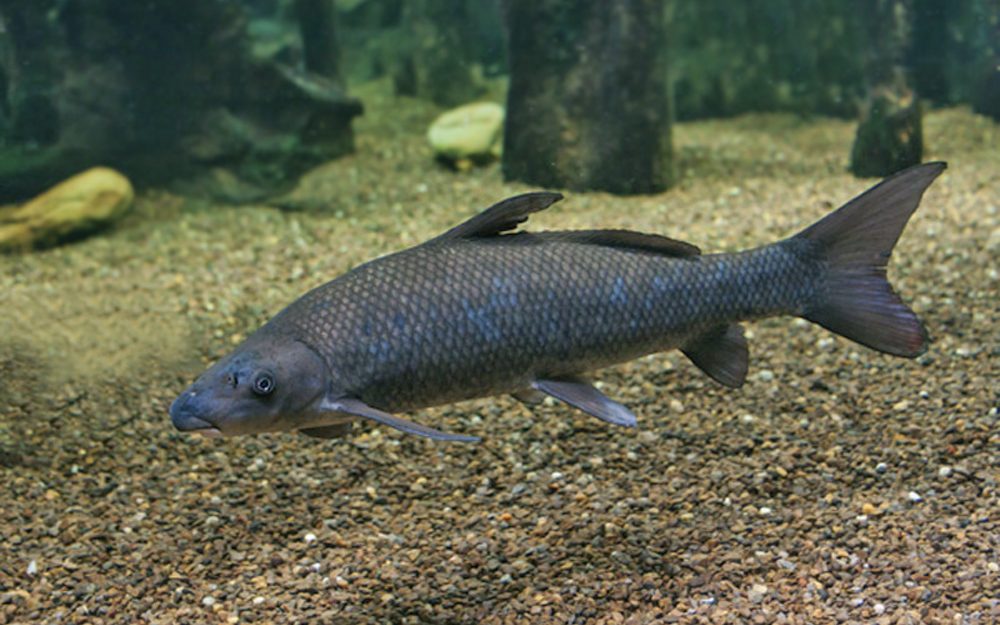
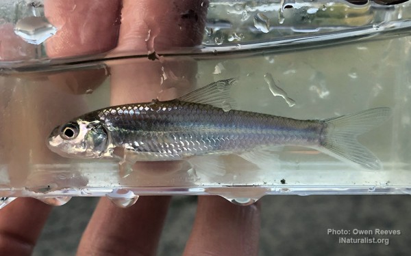
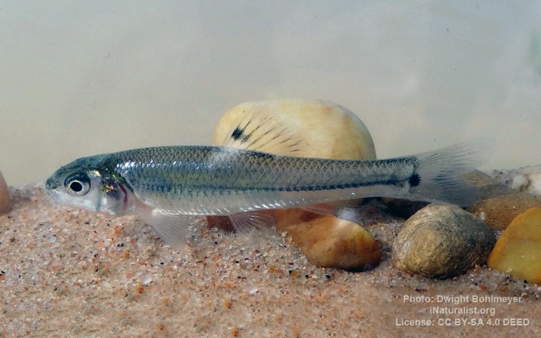
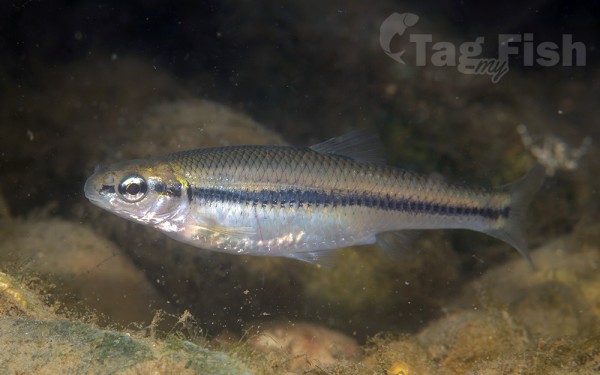
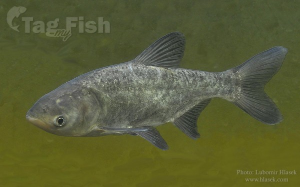
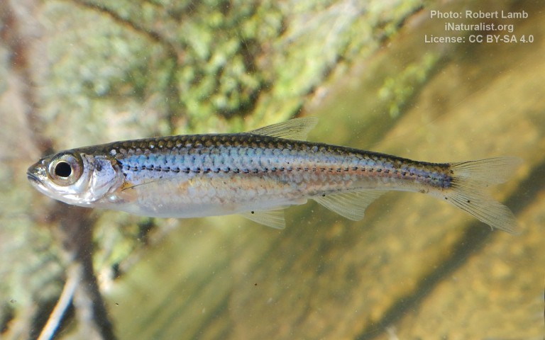
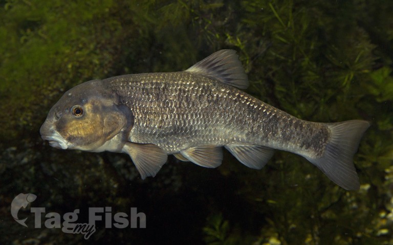
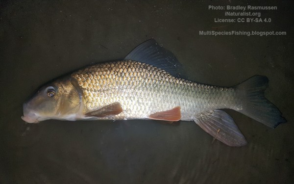
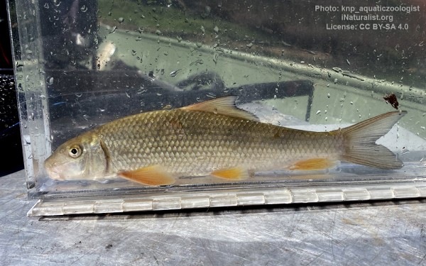
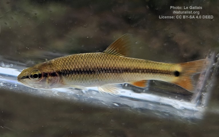
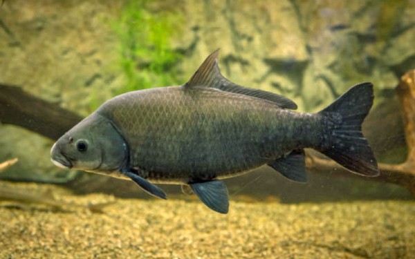
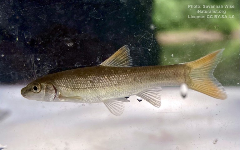
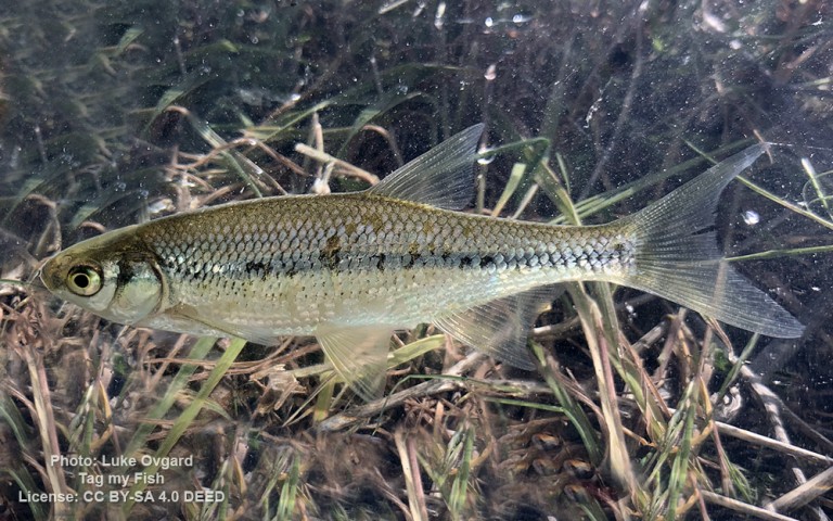
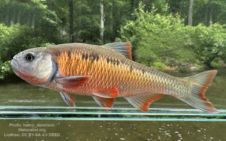
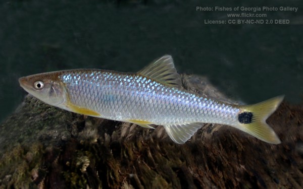
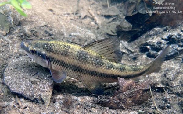
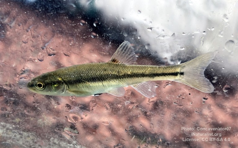
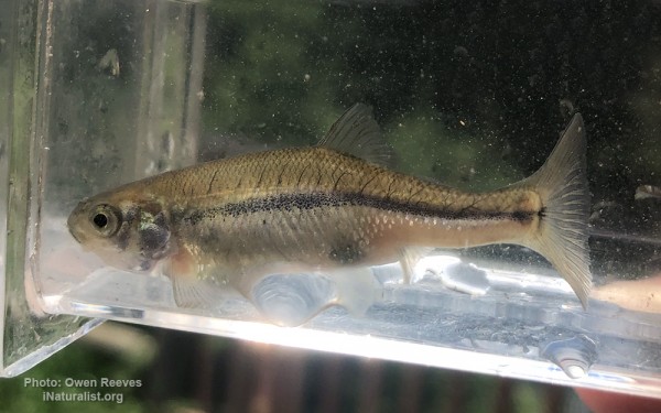
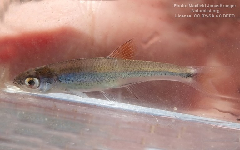
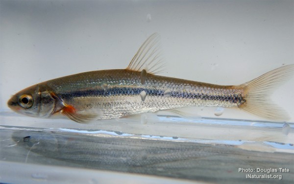
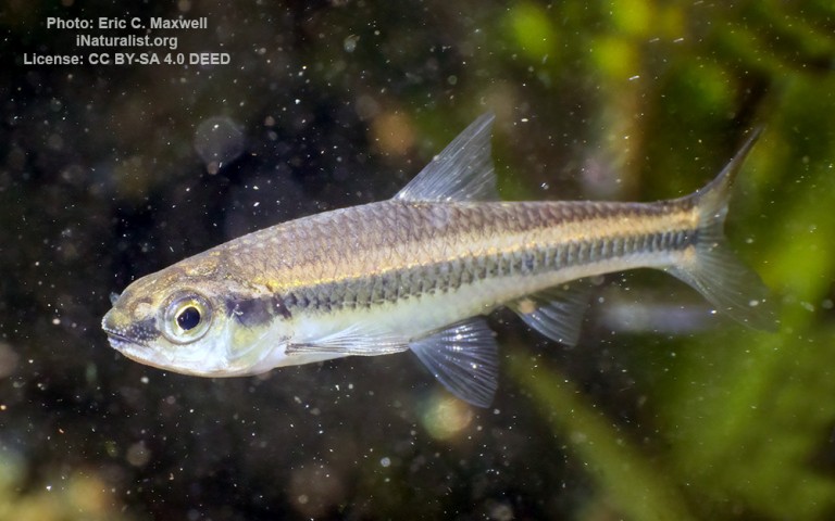
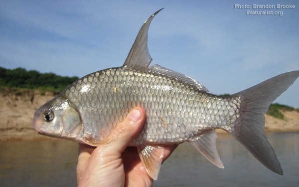
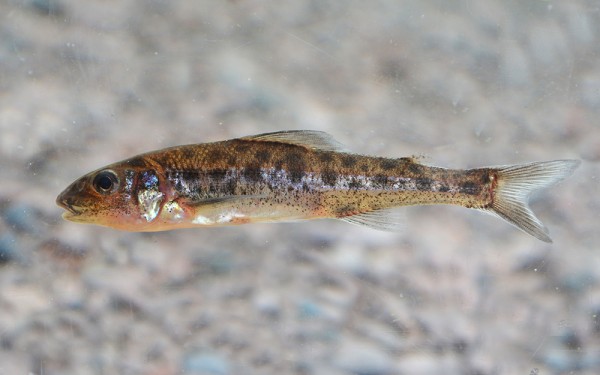
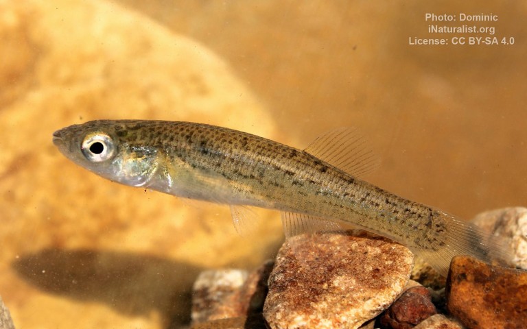
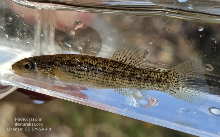
Cypriniformes - Carps


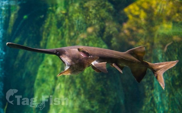
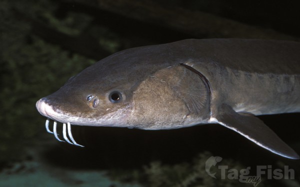
Acipenseriformes - Sturgeons and Paddlefish


Anabantiformes - Gouramies and snakeheads
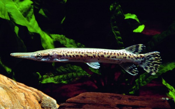
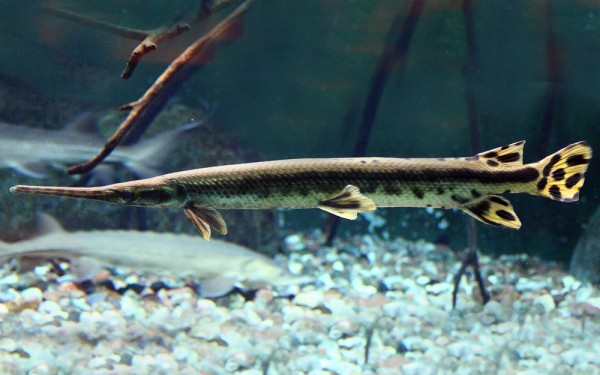
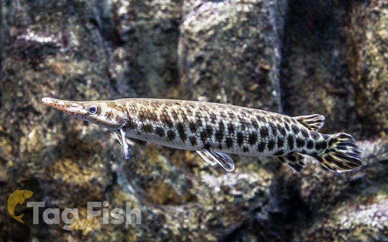
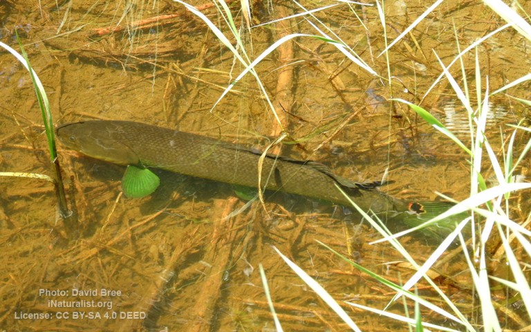
Lepisosteiformes - Gars

Amiiformes - Bowfins
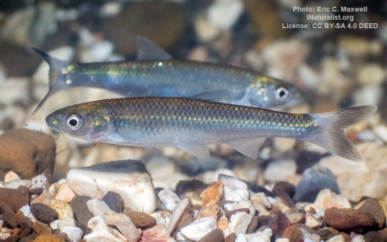
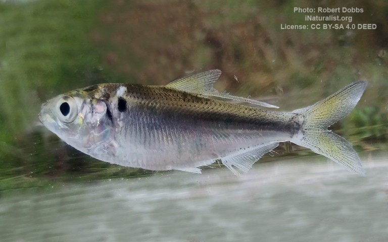
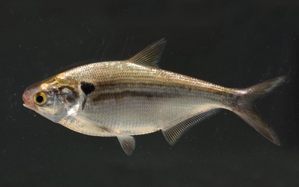
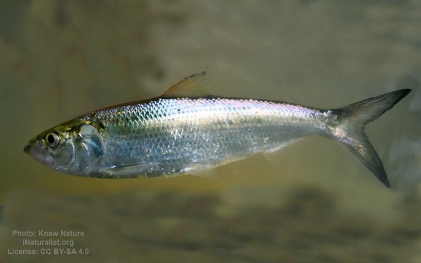
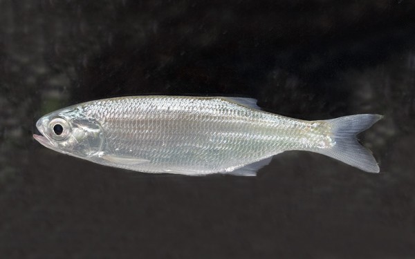
Clupeiformes - Herrings
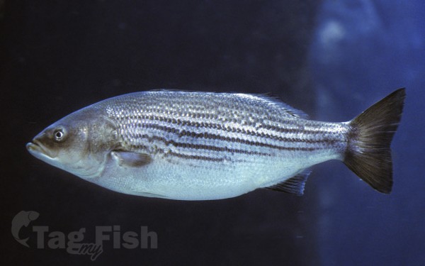
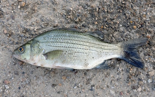
Moroniformes - Temperate basses
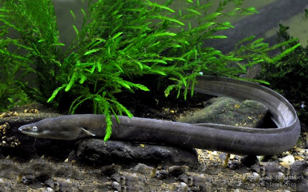
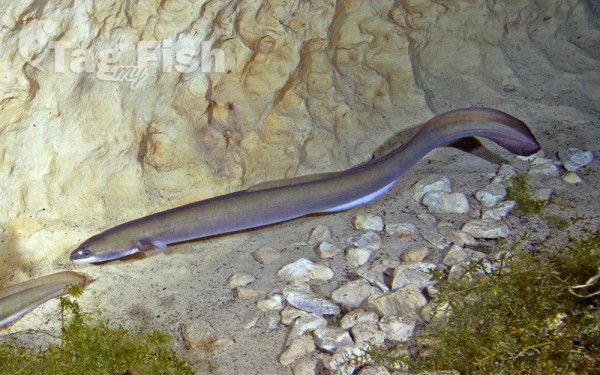
Anguilliformes - Eels and morays
Acanthuriformes - Surgeonfishes
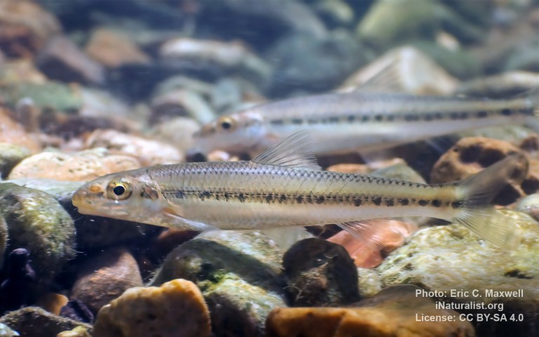
Percopsiformes - Trout-perches
Gasterosteiformes - Sticklebacks
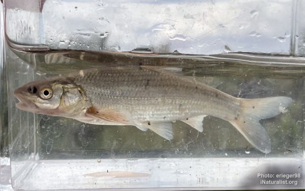
Hiodontiformes - Mooneyes

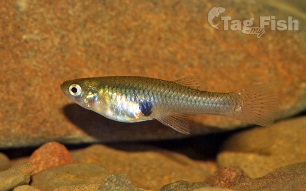
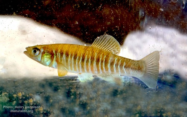
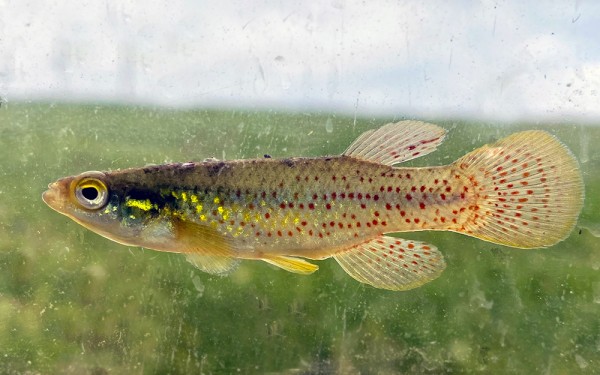
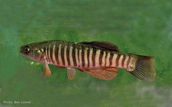
Cyprinodontiformes - Toothcarps

Carcharhiniformes - Ground sharks

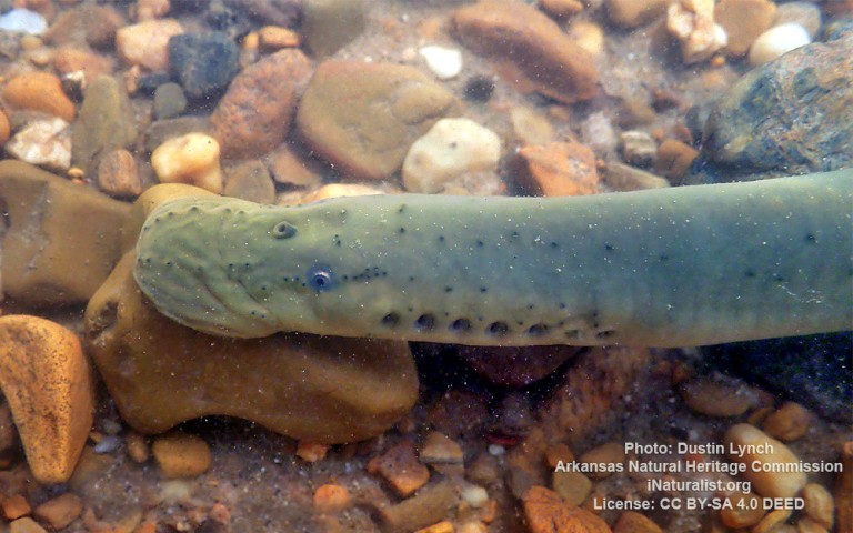
Petromyzontiformes - Lampreys
Perciformes - Perches
Esociformes - Pikes
Siluriformes - Catfishes
Centrarchiformes - Basses and sunfishes
Cypriniformes - Carps
Acipenseriformes - Sturgeons and Paddlefish
Anabantiformes - Gouramies and snakeheads
Lepisosteiformes - Gars
Amiiformes - Bowfins
Clupeiformes - Herrings
Moroniformes - Temperate basses
Anguilliformes - Eels and morays
Acanthuriformes - Surgeonfishes
Percopsiformes - Trout-perches
Gasterosteiformes - Sticklebacks
Hiodontiformes - Mooneyes
Cyprinodontiformes - Toothcarps
Carcharhiniformes - Ground sharks
Petromyzontiformes - Lampreys
The Wind River is the name applied to the upper reaches of the Bighorn River in the state of Wyoming in the United States. The Wind River is 185 miles (298 km) long. These two rivers are sometimes referred to as the Wind/Bighorn.
Its source is at Wind River Lake in the Rocky Mountains, near the summit of Togwotee Pass, and gathers water from several tributaries along the northeast side of the Wind River Range in the western central part of Wyoming. It flows southeastward, across the Wind River Basin and the Wind River Indian Reservation, and joins the Little Wind River near the town of Riverton. Downstream from this confluence, it is locally known as the Big Wind River. It flows northward, through a gap in the Owl Creek Mountains, where the name of the river becomes the Bighorn River. In the Owl Creek Mountains, the river is dammed to form Boysen Reservoir. The Wind River officially becomes the Bighorn River at the Wedding of the Waters, on the north side of the Wind River Canyon.
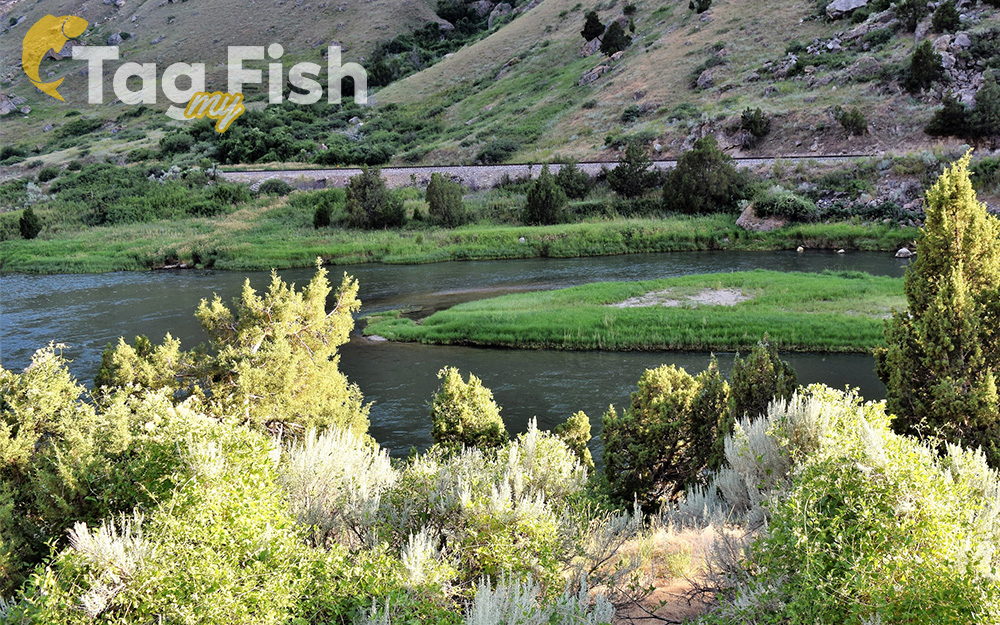
The Wind River is renowned for its picturesque scenery and diverse landscapes it passes through. Its crystal-clear waters, rugged canyons, and mountainous terrain attract nature enthusiasts, hikers, and anglers from around the world. Additionally, the river plays a vital role in the lives of the local population, particularly on the Wind River Indian Reservation, where it serves as a vital water source and life resource.