Cache Creek (Sacramento tributary)
Sources
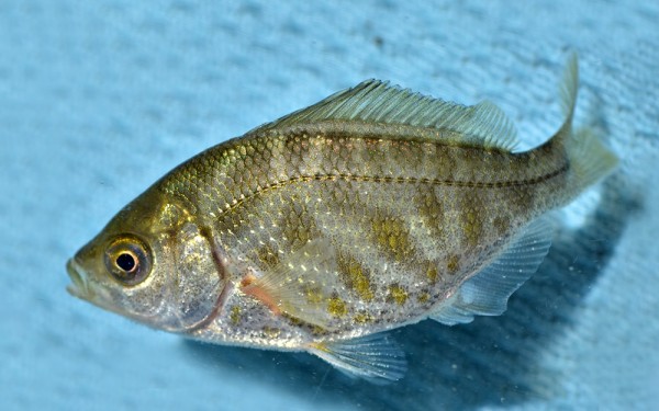
Perciformes - Perches
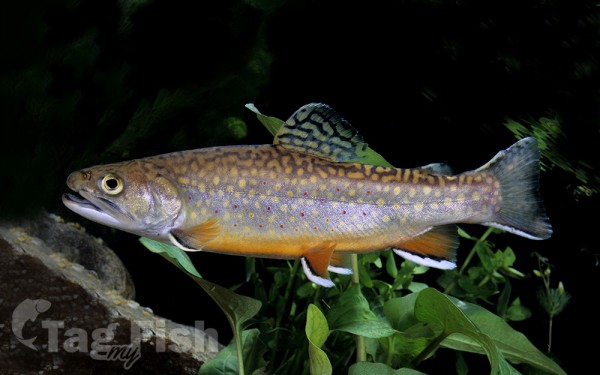
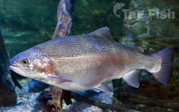
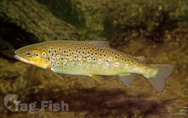
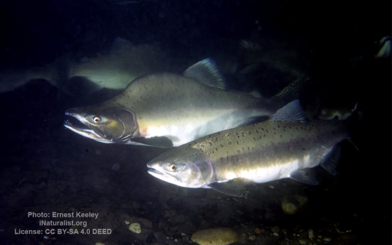
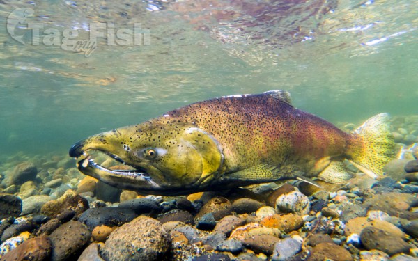
Salmoniformes - Salmons and Trouts
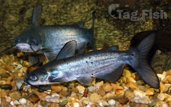
Siluriformes - Catfishes
Centrarchiformes - Basses and sunfishes
Cypriniformes - Carps
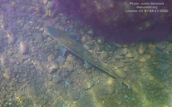
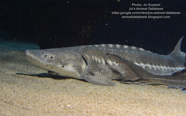
Acipenseriformes - Sturgeons and Paddlefish
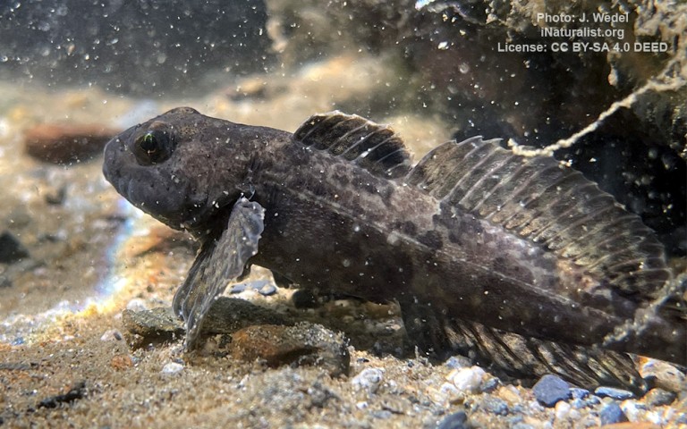
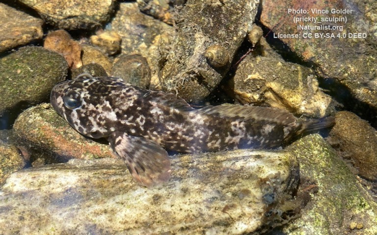
Scorpaeniformes - Mail-cheeked fishes
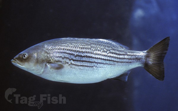
Moroniformes - Temperate basses
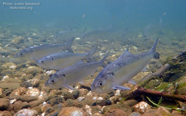
Clupeiformes - Herrings
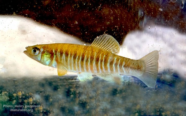
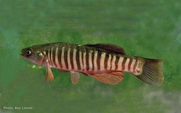
Cyprinodontiformes - Toothcarps
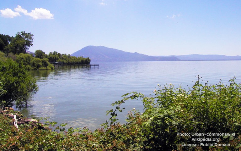
Cache Creek starts at the outlet of Clear Lake.
It has two main tributaries: North Fork (starting in the Mendocino National Forest north of Clear Lake, and dammed by the Indian Valley Reservoir); and Bear Creek (starting in Bear Valley).
The Capay Diversion Dam, west of Capay, diverts water for distribution throughout Yolo County using a network of canals. At the end of the Capay Valley, near Esparto, Cache Creek runs east into Sacramento Valley, ending in a settling basin east of Woodland, the overflow of which runs into the Sacramento River through a flood control canal.
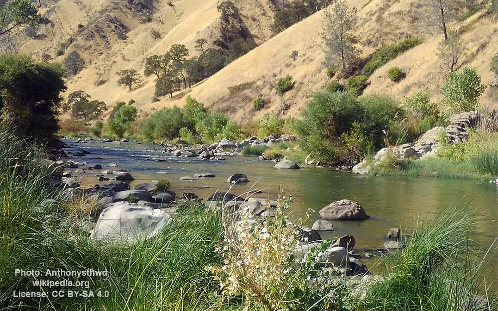
In addition to the recreational use of Clear Lake and Indian Valley Reservoir there are numerous trail-heads, parks and campgrounds, including the Bear Valley wildflower hotspot. Bear Creek and Cache Creek run in a scenic canyon along State Route 16 in Colusa and Yolo county, including the Cache Creek Regional Park. Cache Creek provides white-water rafting, both in the spring when it is flooded, and through the summer using the agricultural water flow. The entire area south of Route 20 and west of Route 16 is a wildlife preserve, hosting two herds of Tule Elk.
